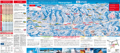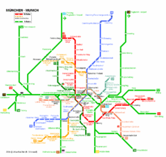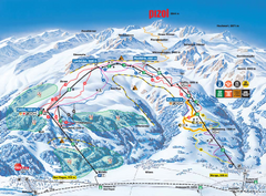
Brescia centro Map
102 miles away
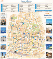
Brescia Tourist Map
Tourist map of central Brescia, Italy. Shows points of interest and photos.
102 miles away
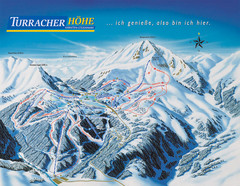
Turracher Höhe Ski Trail Map
Trail map from Turracher Höhe.
104 miles away
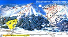
Lungau Ski Trail Map
Trail map from Lungau.
105 miles away
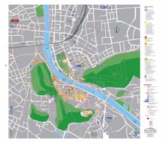
Salzburg Tourist Map
Tourist map of Salzburg, Austria. In German.
106 miles away
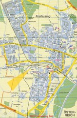
Freilassing Map
Street map of Freilassing
106 miles away
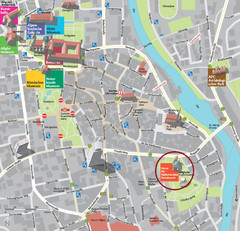
Kempten im Allgäu Tourist Map
Tourist street map of Kempten im Allgäu
106 miles away
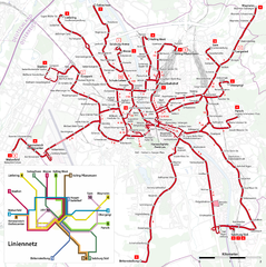
Salzburg Trolleybus Map
106 miles away
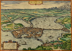
Mantua City Map 1575
Panoramic view of Mantua (Mantova), Italy from Braun and Hogenberg Civitates Orbis Terrarum Volume...
107 miles away

Mantova Map
107 miles away
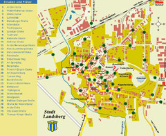
Landsberg Tourist Map
tourist map of town of Landsberg
107 miles away
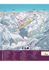
Malbun Ski Trail Map
Ski trail map of area surrounding Malbun, Liechtenstein. Also shows walking routes.
108 miles away
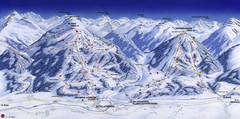
Planai-Hochwurzen Ski Trail Map
Trail map from Schladming.
108 miles away
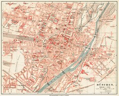
Munich Map
110 miles away
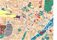
Munich Tourist Map
Tourist map of central Munich (München), Germany.
110 miles away
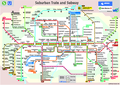
Munich public transportation system Map
This MVV network map, probably the best known one, shows all lines and stops for the urban rail and...
110 miles away
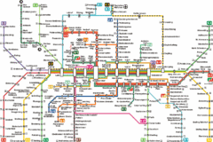
Munich Metro Map
Metro map of Munich, Germany. In German.
110 miles away
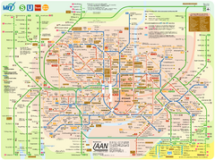
Munich Public Transportation Map
110 miles away
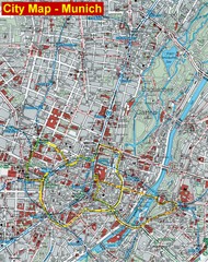
Munich City Map
City map of Munich, Germany
110 miles away
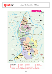
Liechtenstein Regional Map
Country map with detail of regional divides
111 miles away
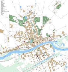
Landsberg Map
Street map of city of Landsberg
111 miles away
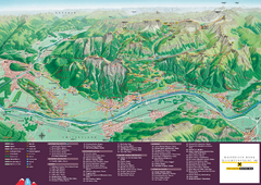
Liechtenstein Tourist Map
Tourist map of the country of Liechtenstein. Panoramic view shows all towns, trails, and mountains.
112 miles away
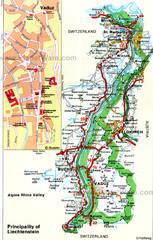
Liechtenstein Principality Map
112 miles away
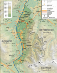
Liechtenstein topography Map
112 miles away
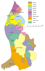
Liechtenstein Tourist Map
112 miles away
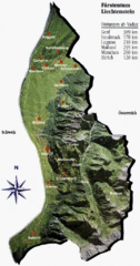
Liechtenstein Tourist Map
112 miles away
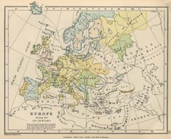
Europe 15th Century Colbeck Map
Europe during the 15th Century
113 miles away
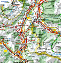
Liechtenstein road Map
113 miles away
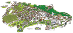
Vaduz Town Map
Tourist map of town of Vaduz, Liechtenstein. Panoramic view shows buildings and streets.
113 miles away
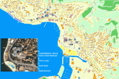
Portorož Lodging Map
114 miles away
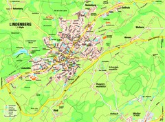
Lindenberg im Allgäu Map
Street map of Lindenberg
114 miles away

Umag Tourist Map
Tourist map of Umag, Croatia. Shows restaurants and lodging.
115 miles away
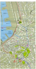
Trieste City Map
City map of Trieste with projects plans.
115 miles away
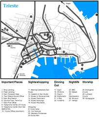
Trieste Map
115 miles away
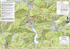
Central Austria Hiking Map
Large map of hiking and emergency services.
115 miles away
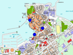
Izola Slovenia Parking map
Parking places in Izola (blue sign - payable parking, white sign - free parking).
115 miles away
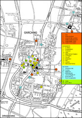
Garching Map
Map of Garching, a suburb to the north of Munich, with hotels, restaurants and bus stops marked.
116 miles away

