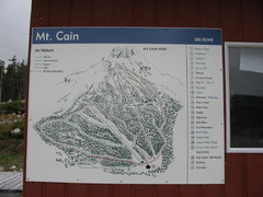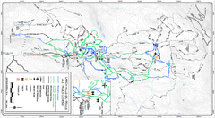
Larch Hills Nordics All Ski Trail Map
Trail map from Larch Hills Nordics, which provides night and nordic skiing. This ski area has its...
269 miles away
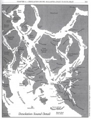
Desolation Sound Detail Map
Shows general geography of Desolation Sound from Malaspina Inlet to Bute Inlet. Shows Cortes Bay...
271 miles away
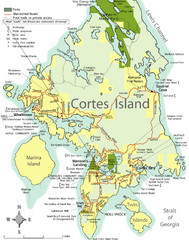
Cortes Island Tourist Map
Places of interest.
276 miles away
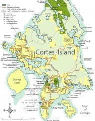
Cortes Island tourist map
Tourist map of Cortes Island in British Columbia, Canada. Shows businesses and roads.
278 miles away

Revelstoke City Map
Overview map of Revelstoke, BC. Shows Points of Interest and activity icons
279 miles away
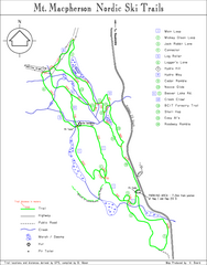
Mt Macpherson Nordic Ski Trail map
Nordic ski trail map of Mt Macpherson area near Revelstoke, BC. Shows trail names and distances in...
280 miles away
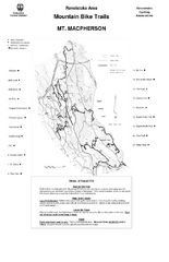
Mt. Macpherson Mountain Bike Trail Map
Mountain bike trail maps of Mt. Macpherson area and Mt. Mackenzie area right out of the town of...
280 miles away
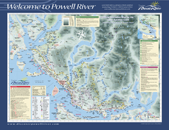
Upper Sunshine Coast Recreation Map
Recreation map of Upper Sunshine Coast in BC. Shows hiking trails, kayaking and canoeing routes...
281 miles away
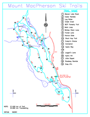
Revelstoke Nordic—Mount MacPherson Nordic Ski...
Trail map from Revelstoke Nordic—Mount MacPherson, which provides nordic skiing. This ski area...
281 miles away
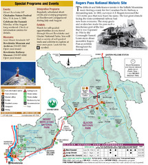
Glacier National Park and Revelstoke National...
Official park map of Glacier National Park and Revelstoke National Park in British Columbia, Canada.
281 miles away
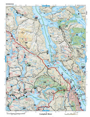
Campbell River Area Map
Vancouver Island, Victoria & Gulf Islands
282 miles away
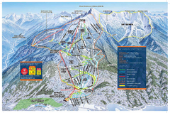
Revelstoke Ski Trail Map - Front side
Ski trail map of front side of Revelstoke ski area in Revelstoke, Canada from the 2008-2009 season.
283 miles away
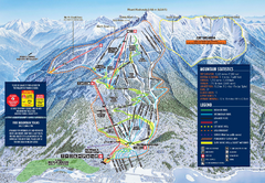
Revelstoke Ski Trail Map 2009-2010
Official ski trail map of Revelstoke Mountain Resort from the 2009-2010 season.
283 miles away
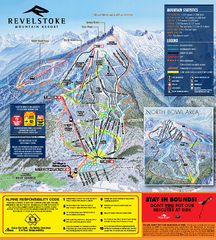
Revelstoke Ski Trail Map 2010-11
Ski trail map of Revelstoke Mountain Resort for the 2010-2011 season. Inset shows North Bowl area.
283 miles away
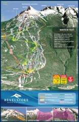
Revelstoke Ski Trail Map
Official ski trail map of Revelstoke ski area from the inaugural 2007-2008 season.
283 miles away
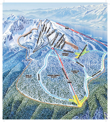
Revelstoke Ski Trail Map - North Bowl
Ski trail map of the North Bowl of Revelstoke ski area in Revelstoke, BC. From the 2008-2009...
283 miles away
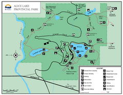
Alice Lake Provincal Park Map
284 miles away
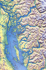
Northern Gulf Map
Map of Northern Gulf Islands
285 miles away
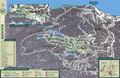
Sovereign Lake Nordic Ski Trail Map
Trail map from Sovereign Lake, which provides night and nordic skiing. This ski area has its own...
290 miles away
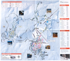
Sovereign Lake Ski Trail Map
Trail map from Sovereign Lake, which provides night and nordic skiing. This ski area has its own...
290 miles away

Alpine Mountain Trail Map
Ski trails on Alpine Mountain
291 miles away
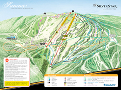
Silver Star Mountain Resort Summer Ski Trail Map
Trail map from Silver Star Mountain Resort.
291 miles away
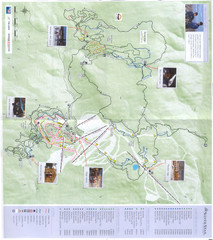
Silver Star Mountain Resort Nordic Ski Trail Map
Trail map from Silver Star Mountain Resort.
291 miles away
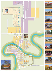
Manning Town Map
292 miles away

Edmonton, Alberta Tourist Map
Edmonton, Alberta and the area west of it
293 miles away

Nisga'a Commercial Recreation Area Map
Guide to commercial recreation in aboriginal lands in British Columbia
293 miles away
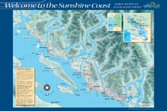
Sunshine Coast Recreation Map
Recreation map of the Sunshine Coast in BC. Shows trails for hiking (in yellow) and mountain...
294 miles away
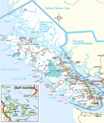
Vancouver Island Park Map
Parks and roads on Vancouver Island.
295 miles away
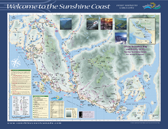
Lower Sunshine Coast Recreation Map
Recreation map of the Lower Sunshine Coast in BC. Shows hiking trails, mountain biking trails...
299 miles away
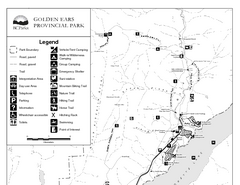
Golden Ears Provincial Park Map
Park map of Golden Ears Provincial Park, BC. 2 pages.
300 miles away
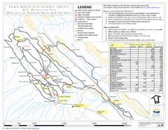
Dawn Mountain Nordic Ski Trail Map
Trail map from Dawn Mountain Nordic.
301 miles away
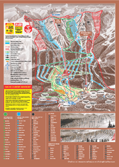
Kicking Horse Ski Trail Map 2009-10
Ski trail map of Kicking Horse ski area for the 2009-2010 season. Features 3 alpine bowls and 70...
301 miles away
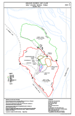
2004–06 Golden Golf Course Trail Map
Trail map from Golden Golf Course.
301 miles away
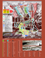
Kicking Horse Resort Ski Trail Map 2008-2009
Trail map from Kicking Horse Resort, which provides downhill and nordic skiing. This ski area has...
301 miles away
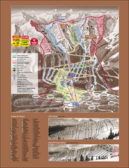
Kicking Horse Ski Trail Map 2007-08
Official ski trail map of Kicking Horse ski area from the 2007-2008 season.
301 miles away
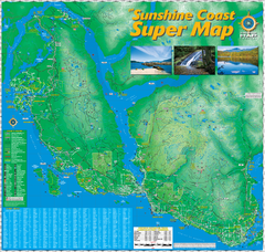
Sunshine Coast Super Map
Sunshine Coast Super Map Poster. 44" X 42". Also Available in folded version.
303 miles away
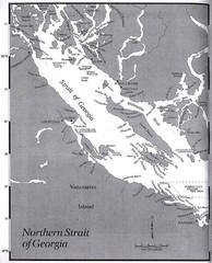
Northern Strait of Georgia Map
304 miles away

Rotary Trail Map
305 miles away
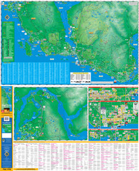
Folded Sunshine Coast Super Map
Folded Sunshine Coast Super Map
305 miles away

