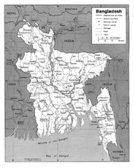
Bangladesh Map
Bangladesh Map showing cities, borders and rivers
811 miles away
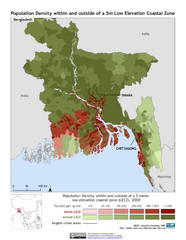
Bangladesh 5m LECZ and Population Density Map
Population densite within and outside of a 5 meter low elevation coastal zone
811 miles away

Bangladesh Map
Bangladesh country map, shows physical relief
811 miles away
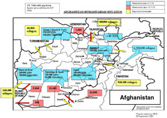
AFG Humanitarian Map
814 miles away
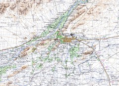
Kandahar Area Topo Map
Topo map of Kandahar, Afghanistan.
815 miles away
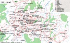
Shillong City Map
Streets, points of interest and more are clearly labeled on this map and legend.
828 miles away
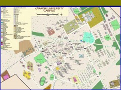
University of Karachi Map
Campus map of University of Karachi, Pakistan's largest public university. Shows all buildings...
835 miles away
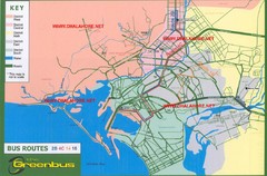
Karachi Bus Route Map
Bus routes and districts are clearly labeled.
836 miles away
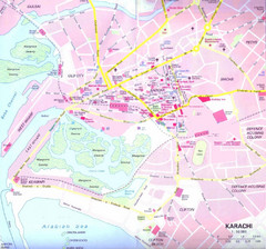
Karachi Road Map
836 miles away
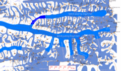
Central Tien Shan Map
Sketch of central Tien Shan between China, Kazakhstan and Kyrgyzstan. Means the "Heaven...
837 miles away
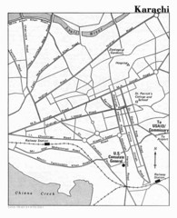
Karachi Pakistan City Map
City map of Karachi, Pakistan showing major roads and a few tourist sites and government buildings.
838 miles away
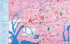
Karachi Map
838 miles away
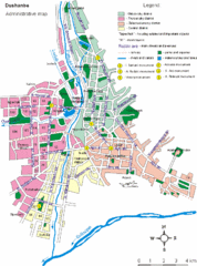
Dushanbe City Map
840 miles away
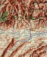
Stalinabad 1956 Map
Road Map of Area around Dushanbe formerly Stalinabad.
840 miles away
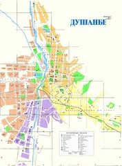
Dushanbe City Map
City map of Dushanbe, Tadjikistan. In Russian.
840 miles away
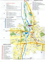
Dushanbe Tourist Map
Tourist map of Dushanbe, Tajikistan. Shows hotels, public buildings, transport, and places of...
840 miles away

Issyk Kul Map
856 miles away
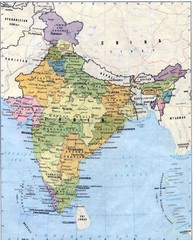
India Map
Map of India with details on cities, towns, and villages
863 miles away
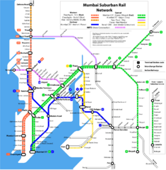
Mumbai Suburban Rail Map
Guide to Mumbai (Bombay) Suburban Railway
864 miles away
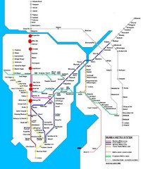
Mumbai Public Transportation Map
867 miles away
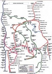
Mumbai Railway Map
867 miles away
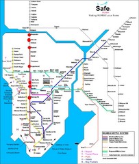
Mumbai Metro System Map
Map shows Metro lines in Mumbai, India with the airport and other tourist sites identified.
867 miles away
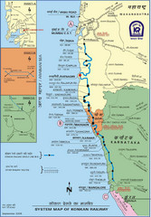
Konkan Railway Map
868 miles away
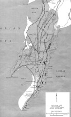
Bombay Street Map
Bombay (Mumbai), India street map.
870 miles away
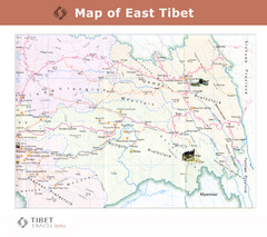
Map of East Tibet X
870 miles away
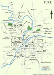
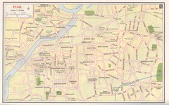
Pune Tourist Map
872 miles away
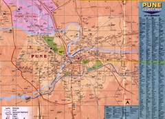
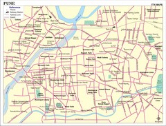
Pune Tourist Map
Tourist map of Pune, India area
872 miles away
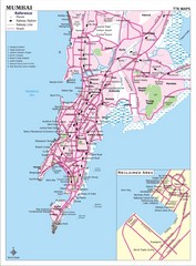
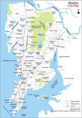
Mumbai City Map
Mumbai City map with tourist attractions and hospitals.
873 miles away
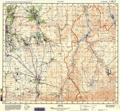
Ura Tube Region Topo Map
Topographical and road map of the Ura Tube, Tajikistan region. "Istaravshan (former Urateppe...
876 miles away
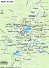
Hyderabad Tourist Map
881 miles away
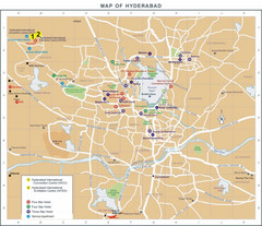
Hyderabad Hotel Map
881 miles away
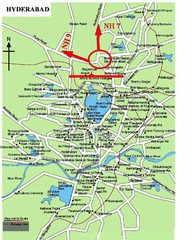
Hyderabad Tourist Map
881 miles away
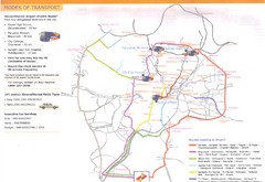
Hyderabad Transportation Map
881 miles away
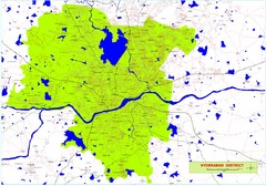
Hyderabad District Map
District map of Hyderabad, India
881 miles away
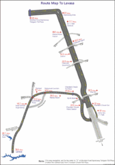
Road to Lavasa India Map
Map shows the roads and sights along the way from Chandani Chowk Toll Plaza to Lavasa.
882 miles away

