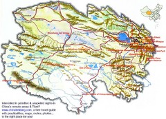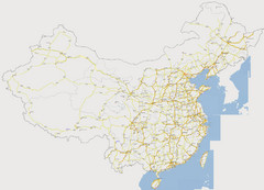
China Major Road Map
Major arterial roads of China
1251 miles away

Turkmenistan regions Map
1265 miles away
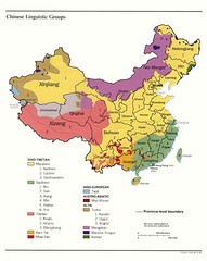
China Linguistics Map
Map of linguistics groups throughout China
1268 miles away
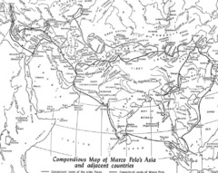
Marco Polo's Route Map
Marco Polo's route through and around Asia.
1275 miles away
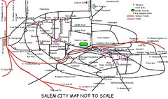
Salem City Map
City map of Salem with attractions
1278 miles away
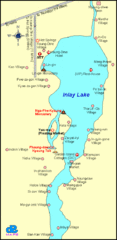
Inlay Lake Map
Map of the Inlay Lake and its surrounding area.
1278 miles away
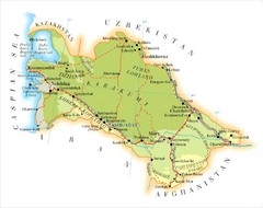
Turkmenistan Map
Overview map of Turkmenistan
1283 miles away
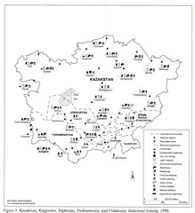
Central Asia Industrial Activity Map
Map of Kazakstan, Kyrgyzstan, Tajikistan, Turkmenistan, and Uzbekistan's industrial activity
1285 miles away
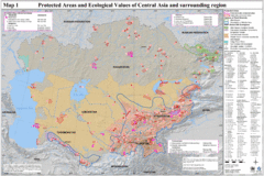
Central Asia Protected Areas Map
UNEP map of protected areas and ecological values in Central Asia and surrounding region.
1286 miles away
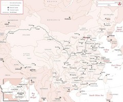
China Silk Road Map
Map of China which identifies provinces, cities, mountains, capitals and rivers.
1287 miles away

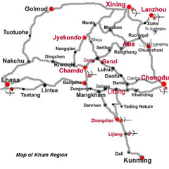
Tea Horse Caravan Route Map
The Tea Horse Road had two main routes stemming from Yunnan and Sichuan respectively and converging...
1297 miles away
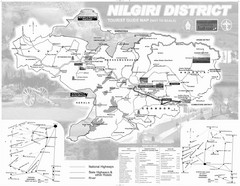
Nilgiri District Tourist Map
Tourist map of Nilgiri District, Tamilnadu, India. Shows trekking routes.
1302 miles away
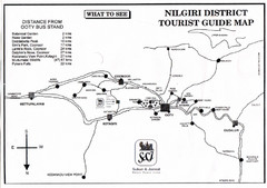
Nilgiri Tourist Map
Tourist map of district of Nilgiri, India. Oriented South as up.
1303 miles away
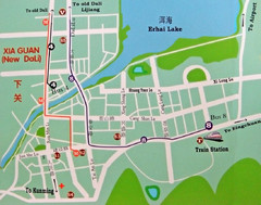
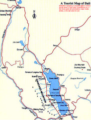
Dali City Map
City map of Dali, China. Shows train station and bus routes.
1313 miles away
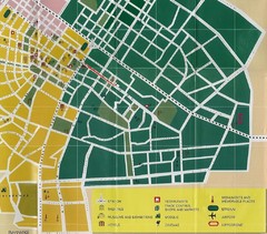
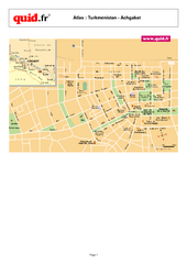
Ashgabat City Map
City map of Ashgabat with tourist information
1314 miles away
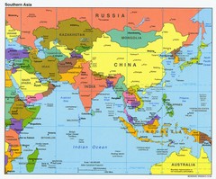
Southern Asia Map
Map of Southern Asia region
1315 miles away
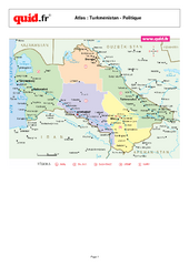
Turkmenistan Map
Map of country with detail of main cities
1320 miles away
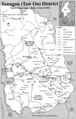
Toungoo District Map
Geographic map of Toungoo District of Burma
1322 miles away
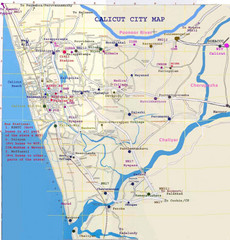
Calicut City Map
1323 miles away
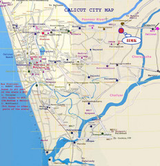
Calicut City Map
Map of city streets, buses and places of interest for Calicut city, India.
1324 miles away

Turkmenistan Physical Map
1325 miles away
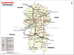
Coimbatore Tourist Map
1329 miles away
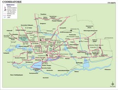
Coimbatore City Map
Coimbatore's main attractions and locations
1329 miles away
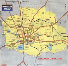
Coimbatore City Map
City map of Coimbatore
1329 miles away
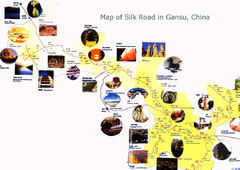
Gansu Silk Road Tourist Map
Tourist map of the Silk Road in province of Gansu, China
1333 miles away
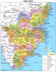
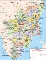
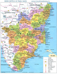
Tamil Nadu Political Map
Political map of state of Tamil Nadu, India and Indian areas south.
1336 miles away

Masqat oman Map
1357 miles away
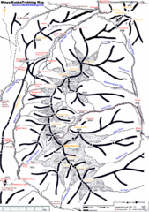
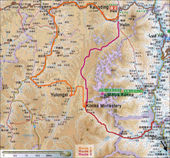
Minya Konka Trekking Map
Trekking map of Minya Konka (Mt. Gongga / Gongga Shan). Minya Konka is located in eastern Tibet...
1358 miles away
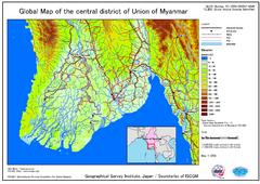
Elevation Map Central Distrisct of Union of...
The map shows topography of the Ayeyarwady (Irrawady) Delta and the Sittoung (Sittang) Delta, that...
1363 miles away

