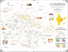
Uttarakhand Historical Map
Places of interest and historical annotations in state of Uttarakhand, India
0 miles away
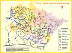
Uttarakhand Tourist Map
19 miles away
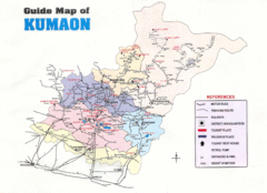
Kumaon Map
49 miles away
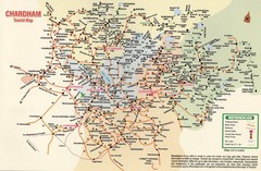
Tourist Guide Map
Tourist Guide Map of Hindu Pilgrimage Site
58 miles away

Central Asia: Major Muslim Ethnic Groups Regional...
67 miles away
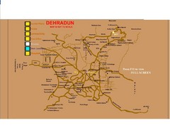
Dehradun City Map
City map of Dehradun with colleges and schools
79 miles away
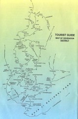
Tourist Guide of Dehradun District India Map
Hand drawn map of Dehradun District, India showing distances, roads, towns and Raja Ji National...
95 miles away
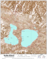
Kailash (Feng) Mountain Map
Kailash is locally more known as Kangrinboqe (Feng). It is the highest mountain in the western part...
130 miles away
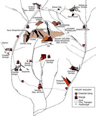
Mt. Kailash Hiking Map
Hiking on a sacred mountain.
136 miles away
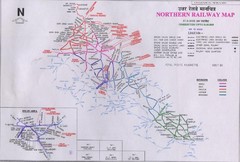
Northern India Rail Map
141 miles away
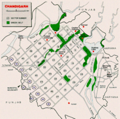
Chandigarh City Map
City map of Chandigarh
158 miles away
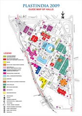
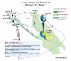
PLASTINDIA Exhibition Guide Map
For the 2009 PLASTINDIA conference
162 miles away
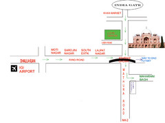
New Delhi Tourist Map
162 miles away
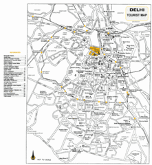
New Delhi Tourist Map
162 miles away
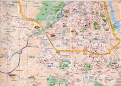
Dehli, India Downtown City Map
162 miles away
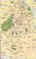
Delhi Tourist Map
Tourist map of central Delhi, India. Shows the "seven cities" of Delhi.
163 miles away
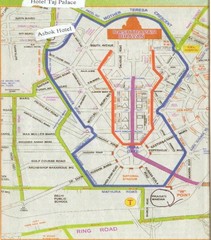
New Delhi Bus Tours Map
163 miles away
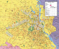
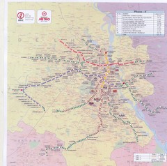
Delhi Metro Map
Surface and underground rail map of Delhi
163 miles away

Delhi India Tourist Map
Map of Delhi, India showing street level detail with restaurants, railways and tourist sites...
163 miles away
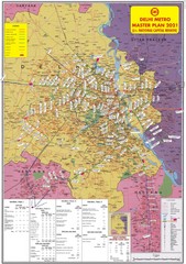
South Delhi Metro Map
Proposed 2021 transportation map in Delhi, India
165 miles away
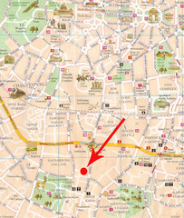
New Delhi India Tourist Map
Tourist Map for New Delhi, India. Shalimar house (hotel) identified with a big arrow. Roads...
165 miles away
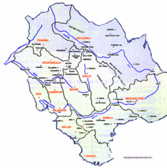
Himachil Tourist Map
200 miles away
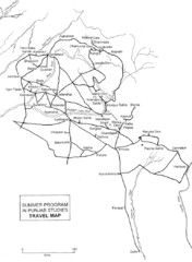
Chandigarh Map
212 miles away
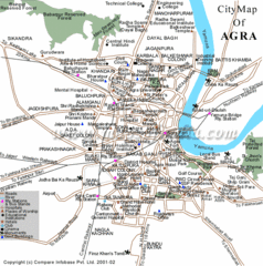
Agra City Tourist Map
217 miles away
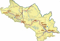
Lahaul Valley and Spiti Valley India Tourist Map
Tourist map for Lahaul Valley and Spiti Valley, India showing tourist sites and roads in the area.
219 miles away
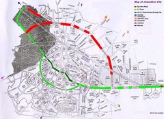
Jalandhar City Map
Jalandhar (Jullundur) city map with main roads highlighted
239 miles away
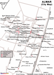
Alwar Tourist Map
241 miles away
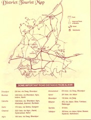
Alwar India Tourist Map
Alwar, India Tourist Map showing cities, distances, tourist attractions and hotels.
241 miles away
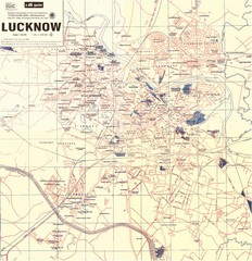
Lucknow City Map
City map of Lucknow, India.
244 miles away
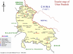
Uttar Pradesh Tourist Map
244 miles away
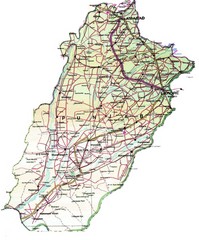
Punjab Guide Map
248 miles away
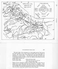
Kirata (Nepal) and North India in the middle and...
Kirata (Nepal) and North India map including tribes, rivers, mountains.
265 miles away
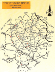
Shekhawati Express Map
The main routes of the Shekhawati Express in India.
274 miles away
Amritsar Map
City map of Amritsar, Punjab, India
285 miles away
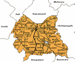
Udaipur, India Tourist Map
286 miles away
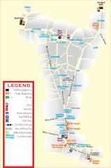
Udaipur Tourist Map
286 miles away

