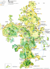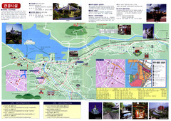
Nagasaki Tourist Map
Tourist map of Nagasaki, Japan. Shows points of interest. In Korean.
0 miles away
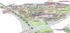
Kyushu Sangyo University Map
This is a clear map of Kyushu Sangyo University, a private school. It currently has twenty...
65 miles away
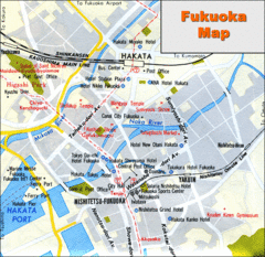
Fukuoka Hotel Map
Hotels and roads are marked on this small map.
65 miles away
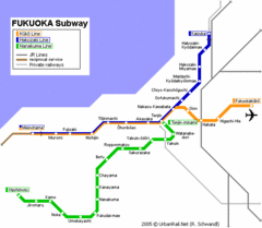
Fukuoka Subway Map
Map of subway transit throughout city
65 miles away
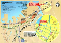
Kyushu University International House Information...
65 miles away

Kashiwa Tourist Map
153 miles away
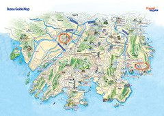
Busan Tourist Map
Tourist map of South Korea's 2nd most populous city, Busan. Shows points of interest.
171 miles away
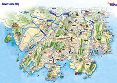
Busan City Tourist Map
City map of Busan. Shows places of interest.
171 miles away
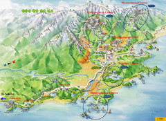
Goseong Tourist Map
177 miles away
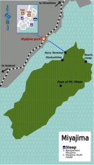
Miyajima Ferry Map
How to get to Miyajima from Hiroshima.
177 miles away
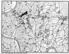
Counterattacks on the Naktong Map
A study of counterattack theory as it existed during the defense of the Pusan Perimeter in the...
177 miles away
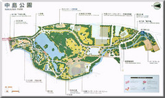
Nakajima Park Map
180 miles away
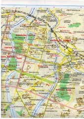
Hiroshima City Map
Map of central Hiroshima, Japan. In English.
187 miles away
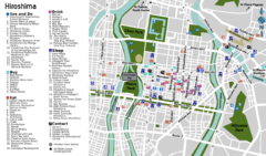
Hiroshima Tourist Map
Tourist map of Hiroshima, Japan
187 miles away
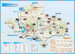
Jingu Tourist Map
Tourist map of Jingu, Korea and surrounding area. Shows photos of points of interest.
196 miles away
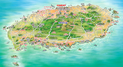
Jeju Tourist Map
Tourist map of island of Jeju, Korea. Shows points of interest. In Korean.
197 miles away
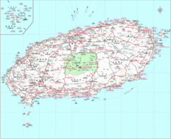
Jejudo Map
Reference map of Jejudo Island, South Korea. The largest island in Korea.
198 miles away
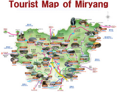
Miryang City Tourist Map
Map is in English and identifies tourist attractions by names and pictures.
198 miles away
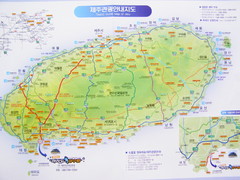
Jeju Tourist Map
Tourist map of Cheju (Jeju) Island, South Korea. The honeymoon island. From photo.
199 miles away
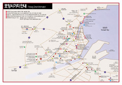
Pohang Map
228 miles away
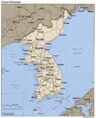
Korean Peninsula Tourist Map
249 miles away

Areas Surrounding Ikebukuro, Japan Guide Map
251 miles away
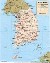
South Korea Tourist map
260 miles away
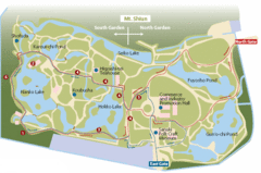
Ritsurin Park Map
Ritsurin Park is one of the most famous and beautiful parks in Japan.
265 miles away
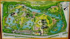
Ritsurin Park Map
265 miles away
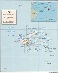
Fiji Tourist Map
271 miles away
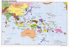
East Asia and Oceania Political Map
271 miles away
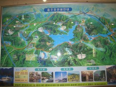
Chungju Tourist Map
Tourist map of Chungju, Korea. From photo.
309 miles away
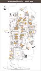
Wakayama University Campus Map
Large school map. Wakayama University was developed to train students to become useful to the...
322 miles away
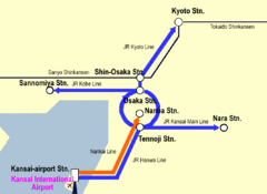
Kansai Airport Subway Transportation Map
Train lines to and from Kansai Airport, Japan.
331 miles away
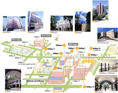
Konan University Campus Map
This is a clear map of this small campus located at the foothills of the Rokko Mountains.
334 miles away
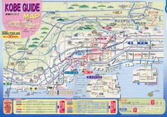
Kobe Tourist Map
Universal Studios Sponsored Tourist Guide to Kobe, Japan
335 miles away
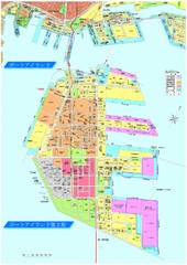
Port Island 2nd Stage Map
Map of Port Island in Kobe City shows 2nd Stage that has been constructed on the southern end of...
335 miles away


 Explore Maps
 Map Directory
