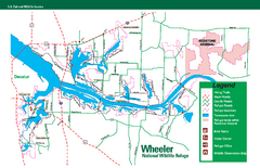
Wheeler National Wildlife Refuge Map
Map of Wheeler National Wildlife Refuge. Includes all roads, hiking trails, camp grounds and...
526 miles away
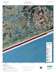
High Island Map
526 miles away
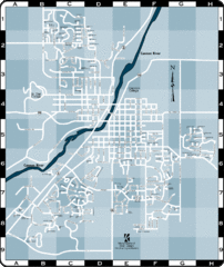
Northfield Street Map
Street map of Northfield, Minnesota
527 miles away
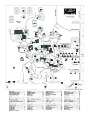
St. Olaf College Map
Campus map of St. Olaf College with index
527 miles away

St. Olaf College Map
Campus map of St. Olaf College
527 miles away

Palos & Sag Valley Map
Picnic Areas and Trail Map
527 miles away
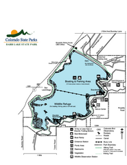
Barr Lake State Park Map
Map of park with detail of trails and recreation zones
527 miles away
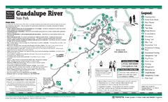
Guadalupe River, Texas State Park Facility and...
527 miles away
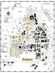
Purdue University - Main Campus Map
Campus map of Purdue University's Main Campus. All buildings shown.
528 miles away
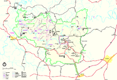
Mammoth Cave National Park Official Park Map
Official NPS map of Mammoth Cave National Park in Kentucky. Most of the park's resources and...
528 miles away
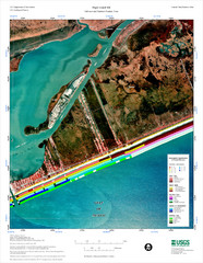
High Island Map
Coastal classification map of High Island
528 miles away
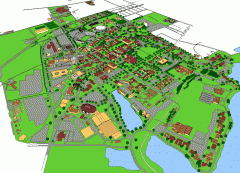
Louisiana State University Map
Louisiana State University Campus Map. All buildings shown.
528 miles away
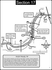
Lafayette, IN/West Lafayette, IN Wabash River Map
This is a page from the Wabash River Guidebook. The map shows important information for boaters and...
528 miles away
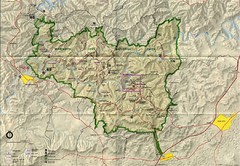
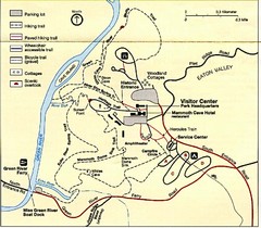
Mammoth Cave National Park Map
Visitor Center Area Map and Park Map. Topographical map that shows parameters of the park as well...
528 miles away

Tinley Creek Map
Picnic Areas and Trail Map
528 miles away
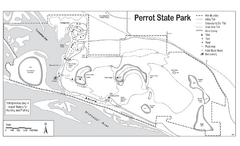
Perrot State Park Map
Have a wonderful vacation hiking through this natural setting.
528 miles away

Tinley Creek Trail Map
Bicycle trail map
529 miles away
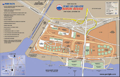
Port of Baton Rouge, Louisiana Tourist Map
529 miles away
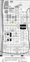
Downtown Baton Rouge, Louisiana Tourist Map
529 miles away
Raging Buffalo Snowboard Park Ski Trail Map
Trail map from Raging Buffalo Snowboard Park, which provides downhill, night, and terrain park...
529 miles away
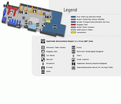
Huntsville International Airport Map
Official Map of Huntsville International Airport in Wisconsin. Shows all terminals and facilities.
529 miles away
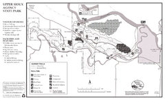
Upper Sioux Agency State Park Summer Map
Summer seasonal map of park with detail of trails and recreation zones
529 miles away
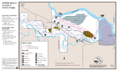
Upper Sioux Agency State Park Winter Map
Winter seasonal map of park with detail of trails and recreation zone
529 miles away
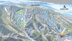
Angel Fire Ski Trail Map
Official ski trail map of Angel Fire ski area from the 2007-2008 season.
530 miles away
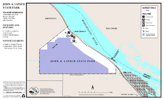
John A. Latsch State Park Map
Map of park with detail of trails and recreation zones
530 miles away
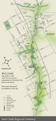
Sand Creek Regional Greenway Map
While the Sand Creek Regional Greenway trail is now usable, the Greenway will be under construction...
530 miles away
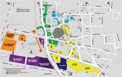
LSU Stadium and Parking Map
Guide to Louisiana State University Stadium and Parking
530 miles away
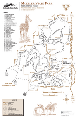
Mueller State Park Trail Map
Map of park with detail of hiking trails
531 miles away
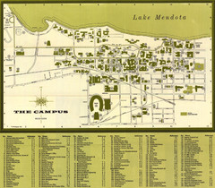
University of Wisconsin-Madison Campus (1964...
University of Wisconsin-Madison (1964) Visitor's Map
531 miles away
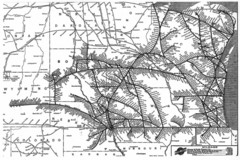
Chicago & North Western Line Railroad System...
C&NW map circa 1909
531 miles away
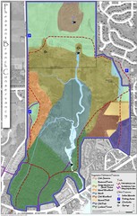
Pheasant Branch Conservancy Vegetation Map
Vegetation map of the Pheasant Branch Conservancy in Middleton, Wisconsin. Shows vegetative...
531 miles away
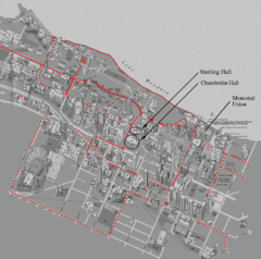
University of Wisconsin-Madison Campus Map
Map of the University of Wisconsin Campus. Includes all buildings, streets, and auditoriums.
531 miles away
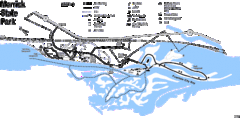
Merrick State Park Map
Beautiful hikes around the waterfront.
531 miles away

Thorn Creek Trail Map
531 miles away

Urban Neighborhood Map: Madison Map
This Urban Neighborhood Poster of Madison is a modern twist on traditional maps. The typography...
531 miles away
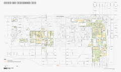
University of Illinois at Chicago Map
University of Illinois at Chicago Campus Map. All buildings shown.
532 miles away
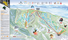
Angel Fire Resort Ski Trail Map
Trail map from Angel Fire Resort.
532 miles away
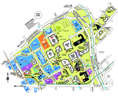
University of Colorado Denver Map
532 miles away
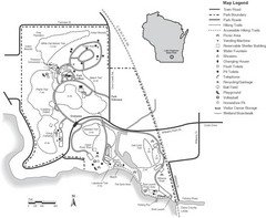
Lake Kegonsa State Park Map
Ball fields, drinking fountains, trails, and more easily guide you around this beautiful park.
532 miles away

