
Maleolap and Aur atoll Map
2323 miles away
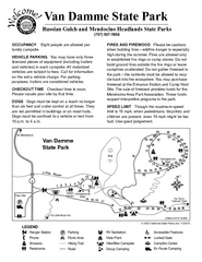
Van Damme State Park Campground Map
Map of campground region of park with detail of trails and recreation zones
2323 miles away
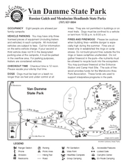
Russian Gulch State Park Campground Map
Map of campground region of park with detail of trails and recreation zones
2323 miles away
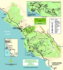
Salt Point State Park Map
Topo park map of Salt Point State Park and Kruse Rhododendron State Reserve. Shows trails by use...
2325 miles away
Salt Point State Park Map
Map of park with detail of trails and recreation zones
2325 miles away
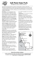
Salt Point State Park Campground Map
Map of campground region of park with detail of trails and recreation zones
2325 miles away
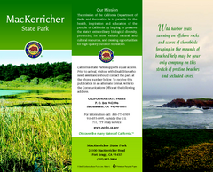
MacKerricher State Park Map
Map of park with detail of trails and recreation zones
2326 miles away
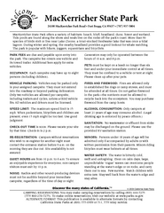
MacKerricher State Park Campground Map
Map of campground region of park with detail of trails and recreation zones
2326 miles away
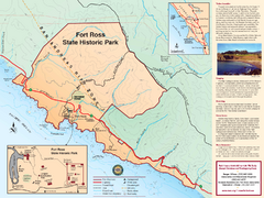
Fort Ross State Historic Park Map
Map of park with detail of trails and recreation zones
2327 miles away
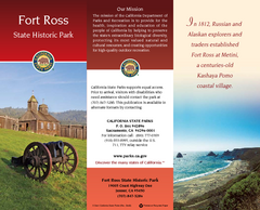
Fort Ross State Historic Park Map
Map of park with detail of trails and recreation zones
2327 miles away
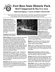
Fort Ross State Historic Park Campground Map
Map of park with detail of trails and recreation zones
2327 miles away
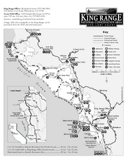
King Range National Conservation Area Trail Map
Trail map of the King Range National Conservation Area, home of the Lost Coast, California. Shows...
2327 miles away
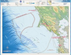
Cordell Bank National Marine Sanctuary Map
Topo and bathymetric map of the Cordell Bank National Marine Sanctuary, located 60 miles northwest...
2330 miles away
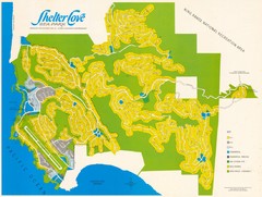
Shelter Cove Map
Shelter Cove Subdivision Map. Shows all streets, houses, commercial buildings, gas stations, and...
2330 miles away
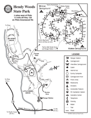
Hendy Woods State Park Map
Park map of Hendy Woods State Park in Philo, California. Shows trails, campgrounds, and other...
2331 miles away
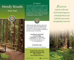
Hendy Woods State Park Map
Map of park with detail of trails and recreation zones
2331 miles away
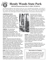
Hendy Woods State Park Campground Map
Map of campground region park with detail of trails and recreation zones
2331 miles away
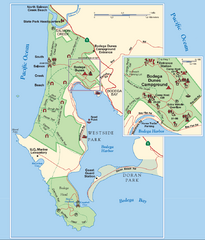
Bodega Bay Park Map
Park map of the Sonoma Coast State Beach park lands in Bodega Bay, California. Shows roads, trails...
2332 miles away
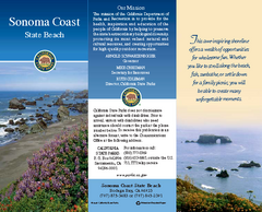
Sonoma Coast State Beach Map
Map of beach and park with detail of trails and recreation zones
2332 miles away

Philo Wine Map
Shows wineries great for wine tasting in the Anderson Valley along Route 128 in Philo California.
2332 miles away
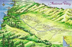
Anderson Valley Wine Map
Shows wineries/vineyards in Anderson Valley, California along Route 128 from Navarro, California to...
2332 miles away
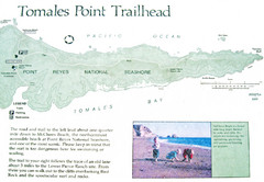
Tomales Point Trail Map
Map of the trail to Tomales Point in Point Reyes National Seashore, California. Also shows trail...
2333 miles away

Arno atoll Map
2334 miles away
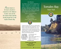
Tomales Bay State Park Map
Map of park with detail of trails and recreation zones
2335 miles away
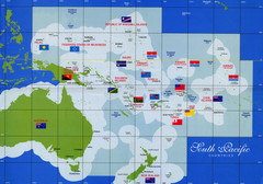
South Pacific Countries Map
Shows countries of the South Pacific with flags.
2335 miles away
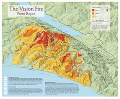
Point Reyes Vision Fire Map
Map of the burn intensity of the 1995 Vision Fire in Point Reyes National Seashore.
2335 miles away
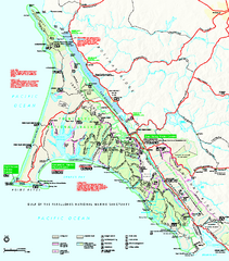
Point Reyes National Seashore Map
Official NPS map of Point Reyes National Seashore in Marin County, California. Shows trails, roads...
2337 miles away
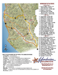
Mendocino Beer and Wine Tasting Map
Beer and wine tasting map of Mendocino county, California. Show breweries and wineries on the...
2337 miles away
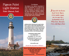
Pigeon Point Light Station State Historic Park Map
Map of park with detail of trails and recreation zones
2337 miles away
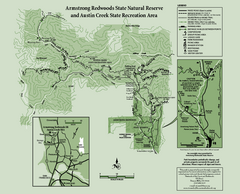
Armstrong Redwoods State Natural Reserve Map and...
Park map of Armstrong Redwoods State Natural Reserve and Austin Creek State Recreation Area in...
2339 miles away
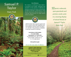
Samuel P. Taylor State Park Map
Map of park with detail of trails and recreation zones
2340 miles away
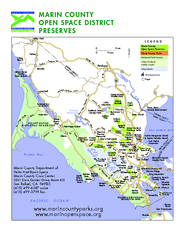
Marin Open Space Preserves Map
Shows all Open Space Preserves in Marin County, CA.
2340 miles away
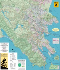
Marin, California Bike Map
2340 miles away

Ano Nuevo State Park Map
Map of park with detail of trails and recreation zones
2341 miles away
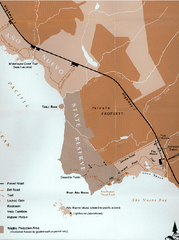
Ano Nuevo State Park Map
Map of park with detail of trails and recreation zones
2341 miles away
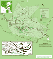
Samuel Taylor State Park Trail Map
Trail map of Samuel Taylor State Park near Lagunitas, CA.
2341 miles away

Sebastopol Map
Map of Sebastopol and surrounding towns.
2341 miles away
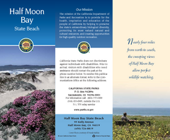
Half Moon Bay State Beach Map
Map of beach with detail of trails and recreation zones
2341 miles away
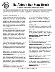
Half Moon Bay State Beach Campground Map
Map of beach with detail of trails and recreation zones
2341 miles away
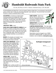
Humboldt Redwoods State Park Campground Map
Map of campground region park with detail of trails and recreation zones
2341 miles away

