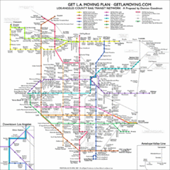
Los Angeles, California Public Transportation Map
2504 miles away
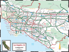
Los Angeles, California Transportation Map
2504 miles away
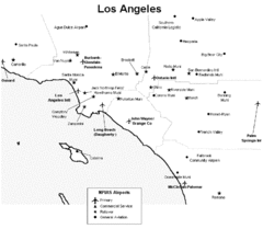
Los Angeles Airport Map
2504 miles away
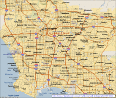
Los Angeles, California City Map
2504 miles away
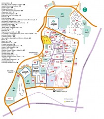
California State University, Los Angeles Map
California State University, Los Angeles Campus Map. All buildings shown.
2504 miles away
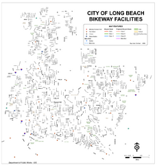
Long Beach Bike Routes Map
2504 miles away
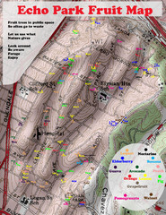
Elysian Park Fruit Map
Shows fruit growing in Elysian Park, Los Angeles (map erroneously calls it Echo Park)
2504 miles away
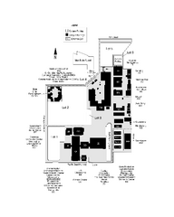
Long Beach City College - Pacific Coast Campus Map
Long Beach City College - Pacific Coast Campus Map. All buildings shown.
2504 miles away
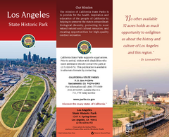
Los Angeles State Historic Park Map
Map of park with detail of trails and recreation zones
2504 miles away
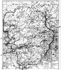
1931 Yosemite National Park Map
Yosemite National Park Map with trails and elevations
2505 miles away
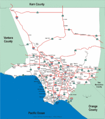
Los Angeles County Highway Map
Map of Los Angeles County highways and freeways.
2505 miles away
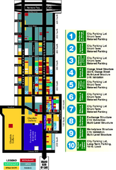
Downtown Glendale, California Map
Tourist map of downtown Glendale, California. Locations of retail, restaurants, entertainment and...
2505 miles away
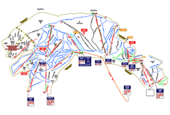
Heavenly Ski Resort Ski Trail Map
Trail map from Heavenly Ski Resort, which provides downhill, nordic, and terrain park skiing. It...
2505 miles away
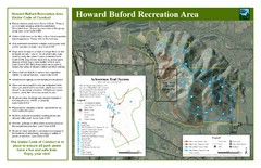
Howard Buford Recreational Area Trails Map
Map of the Howard Buford Recreational Area trails, roads, picnic areas, bathrooms, attractions.
2505 miles away
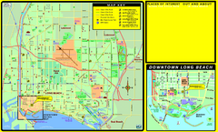
Bike Routes, Long Beach, California Map
Bicycle path map of Long Beach, California. Shows bike paths, bike centers, and public...
2505 miles away
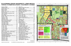
California State University at Long Beach Map
Campus Map of California State University at Long Beach. All buildings shown.
2505 miles away

Long Beach, California City Map
2505 miles away
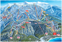
Heavenly Valley Ski Trail Map
Official ski trail map of Heavenly Valley ski area from the 2007-2008 season.
2506 miles away
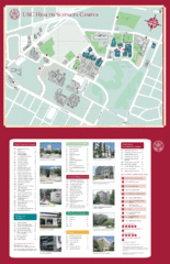
USC Health Sciences Campus Map
Campus map of Health Sciences at the University of Southern California. Includes Keck School of...
2506 miles away
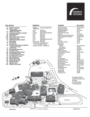
Glendale Community College Campus Map
Glendale Community College Campus Map. Shows all buildings.
2506 miles away
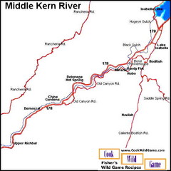
Middle Kern River Area Map
This majestic, rugged, canyon portion of the Kern River extends from Lake Isabella to the Upper...
2507 miles away
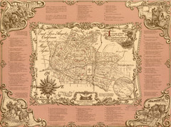
East Los Angeles Murals Map
The Goez Map Guide to the Murals of East Los Angeles, CA
2507 miles away
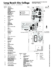
Long Beach City College - Liberal Arts Campus Map
Long Beach City College Liberal Arts Campus Map. All buildings shown.
2507 miles away
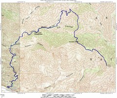
Ybarra Canyon Trail Map
Ybarra Canyon in the Angeles National Forest.
2507 miles away
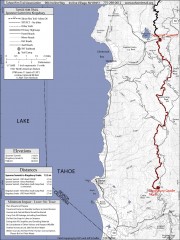
Tahoe Rim Trail: Spooner Summit to Kingsbury...
Topographic hiking map of the Spooner Summit-Kingsbury North leg of the Tahoe Rim Trail. Bike and...
2507 miles away
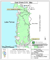
East Shore Lake Tahoe Off-highway Vehicle Map
Off-highway vehicle map of the East Shore of Lake Tahoe, California. Shows roads open to...
2507 miles away
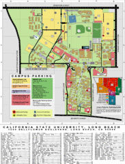
CSU Long Beach Campus Map
2507 miles away
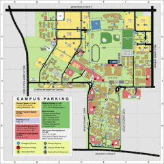
California State University Long Beach Map
Parking and Visitor Map of CSU Long Beach. Shows locations of all buildings, streets, and detailed...
2507 miles away
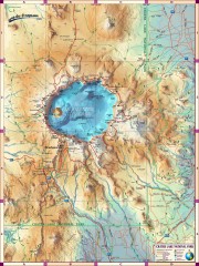
Crater Lake National Park map
Great map of Crater Lake National Park shows all trails, viewpoints, mountains, roads, campgrounds...
2508 miles away
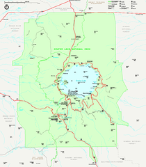
Crater Lake National Park official map
Official map of Crater Lake National Park. Shows hiking trails, elevations of peaks, roads, and...
2508 miles away
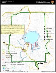
Crater Lake National Park Map
2509 miles away
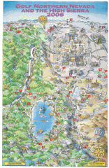
Reno and Lake Tahoe Area Golf map
Illustrated map showing all golf courses in the Reno/lake Tahoe area, 2006 version. To view more...
2509 miles away
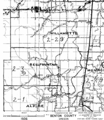
Transportaion for Benton County 1936 Map
1936 Map of Benton County, Oregon known as Muddy Area with counties, roads and towns marked
2509 miles away

California Bio-science Company Map
Shows logos of biotech companies in California from San Francisco to San Diego.
2510 miles away
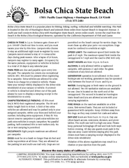
Bolsa Chica State Beach Map
Map of park with detail of of trails and recreation zones
2510 miles away
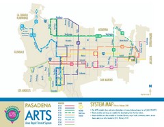
Pasadena ARTS (Area Rapid Transit System) Map
Pasadena A.R.T.S. (Metro) Route Map. System map of all train routes, streets and surrounding...
2510 miles away
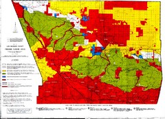
Los Angeles County Firearms Closure Area Map
This map shows where you can use archery, shotgun and rifle to hunt.
2511 miles away
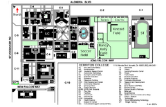
Cerritos College Campus Map
Cerritos College Campus Map. Shows all areas.
2511 miles away
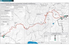
Tahoe Rim Trail: Brockway Summit to Tahoe Meadows...
Trail map of the Brockway Summit-Tahoe Meadows leg of the Tahoe Rim Trail. Bike trails, hiking...
2511 miles away
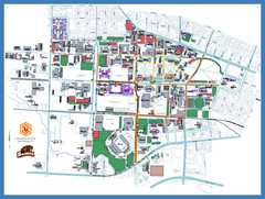
Oregon State University Campus Map
Campus map of Oregon State University in Corvallis, Oregon
2511 miles away

