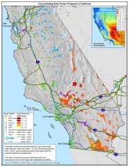
Concentrating Solar Power Prospects California Map
Shows power plants, concentrating solar resources, and transmission lines for all of California...
2501 miles away
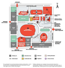
Exposotion Park Map
2501 miles away
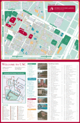
University of Southern California Map
USC campus map
2501 miles away

Eugene Parks map
City of Eugene Parks Map. Includes streets and trails.
2501 miles away
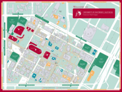
University of Southern California Campus Map
Campus map of the University Park Campus of University of Southern California (USC).
2501 miles away
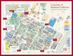
USC Campus Map
2501 miles away
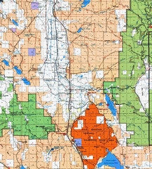
Modoc National Park Map
Visitor Map of Modoc National Park, eastern part. Includes all roads, lakes, camping and boating...
2501 miles away
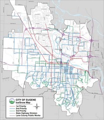
Eugene, Oregon City Map
2501 miles away
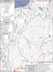
Tahoe Rim Trail: Kingsbury South to Big Meadows...
Topographic hiking map of the Kingsbury South-Big Meadows leg of the Tahoe Rim Trail. Shows...
2501 miles away
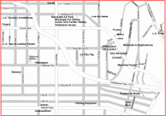
Hollywood, Silverlake, and Echo Park gallery map
Art Gallery map of Hollywood, Silverlake, and Echo Park in Los Angeles, California
2502 miles away
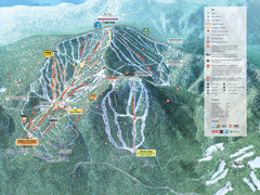
Northstar-at-Tahoe Ski Trail Map
Official trail map of Northstar-at-Tahoe ski area from the 2009-2010 season
2502 miles away
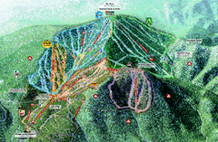
Northstar Ski Trail Map
Official ski trail map of Northstar-at-Tahoe ski area from the 2007-2008 season.
2502 miles away
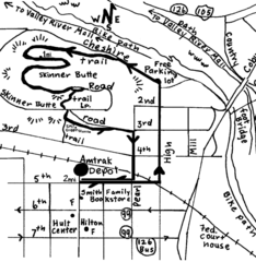
Eugene Oregon Walk, Skinner Butte and River Path...
Walk on the Willamette River Bike path, up Skinner Butte on a forest path and through a historic...
2502 miles away
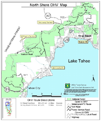
North Shore Lake Tahoe Off-Highway Vehicle Map
Off-highway vehicle map of the area around the North shore of Lake Tahoe. Roads open to motorcycles...
2502 miles away

BTS Route Map
Map of BTS bus routes throughout Klamath Falls
2502 miles away
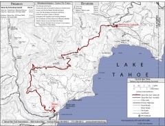
Tahoe Rim Trail: Tahoe City to Brockway Summit Map
Topographic hiking map of the Tahoe City-Brockway Summit leg of the Tahoe Rim Trail. Shows trail...
2502 miles away
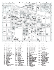
University of Oregon campus map
University of Oregon campus map with building abbreviations
2502 miles away
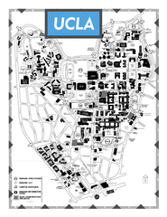
University of California - Los Angeles Map
Campus Map of the University of California - Los Angeles. All buildings shown.
2502 miles away

Yosemite Valley Park Map
Guide Map of the Yosemite National Forest
2503 miles away
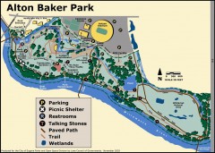
Alton Baker Park Map
Shows parking, picnic shelters, restrooms, talking stones, paved path, trail, and wetlands. Alton...
2503 miles away
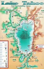
Lake Tahoe and nearby activities Map
Lake Tahoe and nearby resorts and activities
2503 miles away
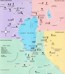
Lake Tahoe Area, California Map
Recreation map of Lake Tahoe, California. Points of interest shown include golfing, skiing, and...
2503 miles away
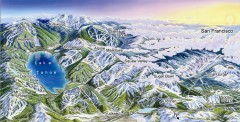
Lake Tahoe Ski Resort map
Winter map of Lake Tahoe showing relative position of all ski resorts. South-facing view. Created...
2503 miles away

Digital Elevation Model Satellite Tahoe Map
Digital Elevation Models
2503 miles away
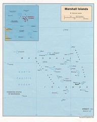
Marshall Islands Map
Guide to the island country of Marshall Islands
2503 miles away
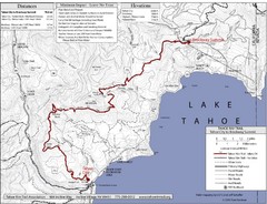
Tahoe Rim Trail Map
2503 miles away
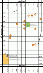
Downtown L.A. arts tour map
Self-Guided walking tour map of Downtown Los Angeles with a focus on the arts
2503 miles away
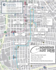
Artride Bicycle Map of Museums and Galleries
Map of a bicycle tour of the galleries and Museums in Downtown Los Angeles.
2504 miles away
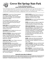
Grover Hot Springs State Park Campground Map
Map of park with detail of trails and recreation zones
2504 miles away

South Los Angeles Tourist Map
2504 miles away
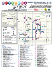
Downtown Art-Walk Map
The Downtown LA Art Walk, held every Thursday.
2504 miles away

Downtown L.A. walking tour map
Walking tour map of Downtoan Los Angeles near the Civic Center, including the Arts District.
2504 miles away
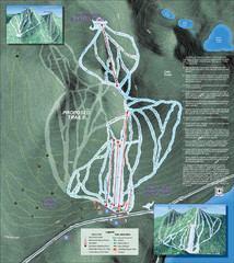
Willamette Pass Ski Trail Map
Trail map from Willamette Pass.
2504 miles away

Downtown Los Angeles, California Map
Tourist map of Downtown Los Angeles, California. Shows theaters, museums, public transportation and...
2504 miles away
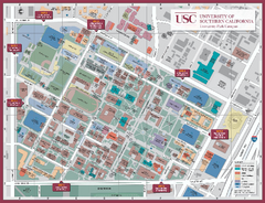
University of Southern California Map
Campus Map of the University of Southern California. All buildings shown.
2504 miles away
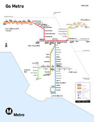
Los Angeles Metro Rail system map
Official map of the LA Metro Rail system. Comprised of the Metro Blue, Green, Red, Purple and Gold...
2504 miles away
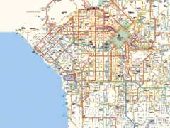
West Los Angeles Starbucks & Chase Map
2504 miles away
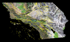
Southern California's Major Faults Map
As you can see by examining a fault map of southern California or a satellite image showing...
2504 miles away
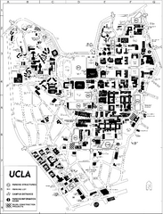
UCLA Map
2504 miles away
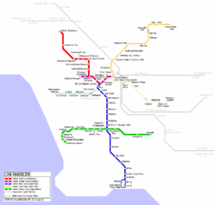
Los Angeles Train Map
2504 miles away

