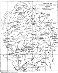
Yosemite Park Map (before development)
Map of Yosemite Park before valley development, showing only Portal Road
2493 miles away
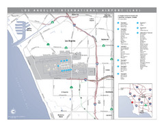
Los Angeles International Airport Area Map
Map of the Los Angeles International Airport (LAX) and surrounding area. Inset shows location of...
2493 miles away
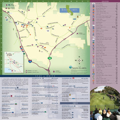
Santa Clarita Tourist Map
Tourist map of Santa Clarita, California
2493 miles away
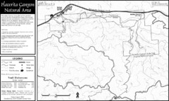
Placerita Canyon Trail Map
2493 miles away
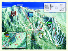
Sierra-at-Tahoe Ski Trail Map
Trail map from Sierra-at-Tahoe, which provides downhill and terrain park skiing. It has 12 lifts...
2494 miles away
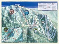
Sierra-at-Tahoe Ski Trail Map
Official ski trail map of Sierra-at-Tahoe ski area from the 2007-2008 season.
2494 miles away
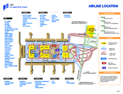
Los Angeles International Airport Terminal Map
Official Map of LAX International Airport in Los Angeles. Shows all areas.
2494 miles away
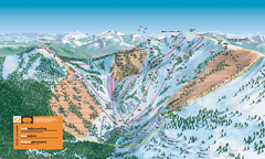
Alpine Meadows Ski Trail Map (Front)
Official ski trail map of Alpine Meadows ski area from the 2005-2006 season.
2494 miles away
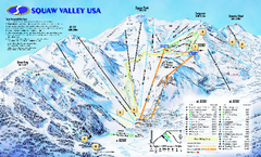
Squaw Valley USA Trail Map
Trail map of Squaw Valley ski area in Lake Tahoe, California
2494 miles away
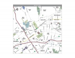
Westside Los Angeles, California Map
Tourist map of the Westside area of Los Angeles, California. Museums, parks, the UCLA campus, and...
2494 miles away
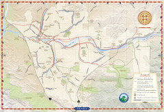
Santa Clarita Trail Map
2494 miles away
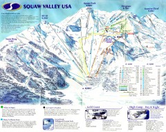
Squaw Valley Ski Trail Map
Scan of ski trail map of Squaw Valley ski area from the 2000-2001 season.
2494 miles away
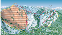
Alpine Meadows Ski Area Backside Ski Trail Map
Trail map from Alpine Meadows Ski Area, which provides downhill and terrain park skiing. It has 13...
2494 miles away
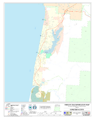
Lincoln City Oregon Road Map
2494 miles away
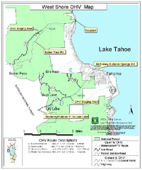
West Shore Lake Tahoe Off-highway Vehicle Map
Off-highway vehicle map of the West Shore of Lake Tahoe. Roads open to motorcycles, ATVs, and 4x4s...
2495 miles away
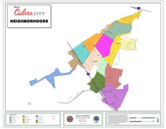
Culver City Neighborhood Map
Map shows official neighborhood zones of Culver City, California
2495 miles away
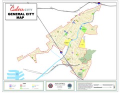
Culver City Map
General city map of Culver City, California. Shows the city boundary, schools, parks and other...
2495 miles away
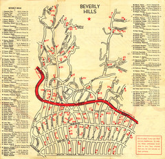
Beverly Hills stars homes map
2495 miles away
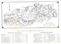
Yosemite Valley Auto Tour Map
Auto tour guide map of Yosemite, 1937
2495 miles away
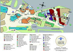
Squaw Valley Base Village Map
Village map of base of Squaw Valley Ski Resort, Lake Tahoe, California. Shows all restaurants...
2495 miles away
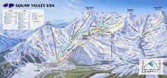
Squaw Valley USA Ski Trail Map
Trail map from Squaw Valley USA, which provides downhill, night, nordic, and terrain park skiing...
2495 miles away
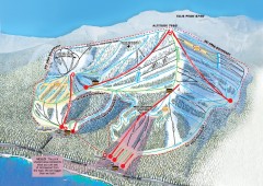
Homewood Ski Trail Map
Official ski trail map of Homewood ski area from the 2007-2008 season.
2495 miles away
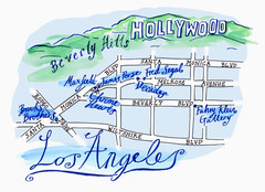
Los Angeles - hand drawn map
illustrated hand-drawn map produced for British airways - First Life magazine.
2495 miles away
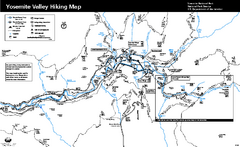
Yosemite Valley Trail Map
Trail map of hiking trails in Yosemite Valley, Yosemite National Park, California.
2495 miles away

Sugar Pine Point State Park South Map
Map of southern region of park with detail of trails and recreation zones
2496 miles away
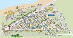
Beverly Hills, California Map
Tourist map of Beverly Hills, California. Shopping, restaurants, lodging and points of interest are...
2496 miles away
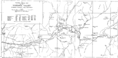
Yosemite Valley Map
Map of the valley and key elevations
2496 miles away
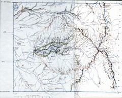
Proposed Yosemite National Park Map 1890
John Muir's map of proposed Yosemite National Park, California. Green is the original 1864...
2496 miles away
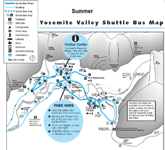
Yosemite Valley Shuttle Map
2496 miles away
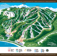
Homewood Mountain Resort Ski Trail Map
Trail map from Homewood Mountain Resort, which provides downhill and terrain park skiing. It has 7...
2496 miles away
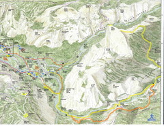
Half Dome view from Glacier Point Map
2496 miles away
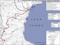
Tahoe Rim Trail: Barker Pass to Tahoe City Map
Topographic hiking map of the Barker Pass-Tahoe City leg of the Tahoe Rim Trail. Shows trailheads...
2496 miles away
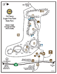
Sugar Pine Point State Park Campground Map
Map of campground region of park with detail of trails and recreation zones
2496 miles away
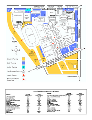
El Camino College Campus Map
El Camino College Campus map. Shows all buildings.
2497 miles away

John Muir Trail Elevation Map
Profile, Elevation, Landmarks and Mileage for the John Muir Trail entertainment not accurate enough...
2497 miles away
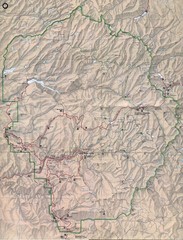
Yosemite National Park Map
Yosemite National Park Map. Shows location of all hiking trails, camp grounds, visitor center and...
2497 miles away
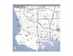
South Beach Cities, Los Angeles, California Map
Tourist map of the South Beach cities, near Los Angeles, California. Shows museums, aquariums, and...
2497 miles away
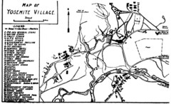
Yosemite Village Guide Map
2497 miles away
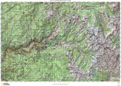
Island Pass to Yosemite Village Topo Map
2497 miles away
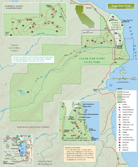
Sugar Pine Point State Park Map
Map of park with detail of trails and recreation zones
2497 miles away

