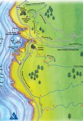
Cape Perpetua Map
2466 miles away

Relative Motion of Pacific and North American...
Diagram illustrating the plate-tectonic setting of southern California (image source: USGS general...
2467 miles away
Fort Tejon State Historic Park Map
Map of park with detail of trails and recreation zones
2467 miles away
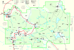
Lassen Volcanic National Park Official Park Map
Official NPS map of Lassen Volcanic National Park in California. Map shows all areas. Lassen...
2468 miles away
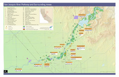
San Joaquin River Parkway Map
Map of the San Joaquin River Parkway. "The San Joaquin River Parkway is a mosaic of parks...
2469 miles away

Colonel Allensworth State Historic Park Map
Map of park with detail of trails and recreation zones
2470 miles away
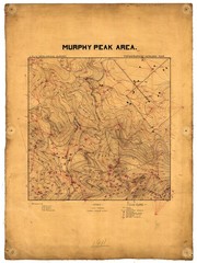
Murphy Peak Area Survey Map
Topographic geology map of Murphy Peak area, California. L.S.J.U. Geological Survey, 1911...
2471 miles away
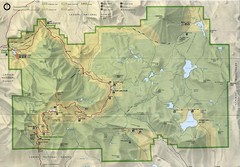
Lassen Volcanic National Park Map
2471 miles away

Northern California Fire Detection Map
Fires in Northern California
2471 miles away
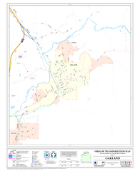
Oakland Oregon Road Map
2472 miles away
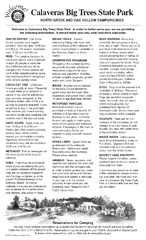
Calaveras Big Trees State Park Map
Map of park with detail of trails and recreation zones
2472 miles away
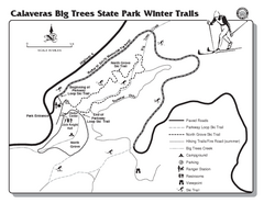
Calaveras Big Trees State Park Winter Map
Map of park with detail of winter ski trails and recreation zones
2472 miles away
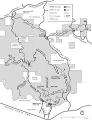
Zuma Trancas Canyon Map
Trail map of Zuma Canyon and Trancas Canyon near Malibu, CA in the Santa Monica Mountains. End of...
2472 miles away

California Counties Map
2473 miles away
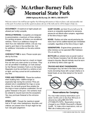
McArthur-Burney Falls Memorial State Park...
Map of park with detail of trails and recreation zones
2473 miles away
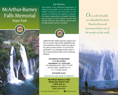
McArthur-Burney Falls Memorial State Park Map
Map of park with detail of trails and recreation zones
2473 miles away
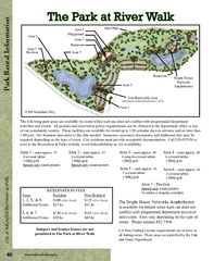
The Park at Riverwalk, Bakersfield California Map
Map of The Park at Riverwalk in Bakersfield California, including the fees for reservable areas.
2475 miles away
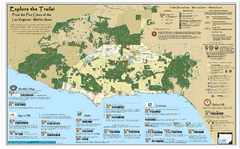
Santa Monica Mountains Area Trail map
Trail map of the Santa Monica Mountains National Recreation Area. Highlights information about...
2476 miles away
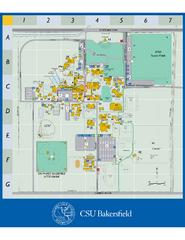
California State University Bakersfield Map
Campus map of California State University Bakersfield.
2476 miles away
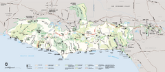
Santa Monica Mountains National Recreation Area...
Map of the entire Santa Monica Mountains National Recreation Area
2476 miles away

Town & Country Village Shopping Center in...
2477 miles away

Bakersfield Commons Site Features Map
2477 miles away
Malibu Creek State Park Campground Map
Map of campground region of park with detail of trails and recreation zones
2477 miles away

Bakersfield Commons Conceptual Site Plan Map
2477 miles away

Bakersfield Commons Phase 1 Alt Map
2477 miles away

Bakersfield Commons Existing and Proposed Zoning...
2477 miles away
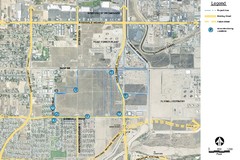
Bakersfield Commons Noise Monitoring Map
2477 miles away

Bakersfield Commons Site Existing Conditions Map
2477 miles away

Bakersfield Commons Proposed Retention Areas Map
2477 miles away

Millerton Lake State Recreation Area Park Map
Map of park with detail of trails and recreation zones
2479 miles away
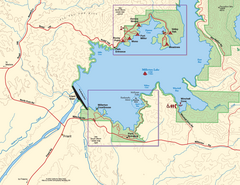
Millerton Lake State Recreation Area SW Map
Map of SW region of park with detail of trails and recreation zones
2479 miles away
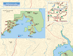
Millerton Lake State Recreation Area NW Map
Map of NW region of park with detail of trails and recreation zones
2480 miles away

Millerton Lake State Recreation Area NE Map
Map of NE region of park with detail of trails and recreation zones
2480 miles away
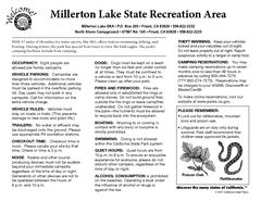
Millerton Lake State Recreation Area Campground...
Map of campground region of park with detail of trails and recreation zones
2480 miles away
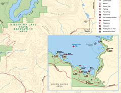
Millerton Lake State Recreation Area SE Map
Map of SE region of park with detail of trails and recreation zones
2480 miles away
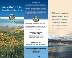
Millerton Lake State Recreation Area Map
Map of park with detail of trails and recreation zones
2480 miles away
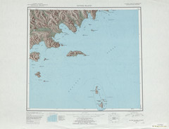
Sutwik Island Shaded Relief Map
2481 miles away
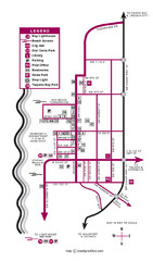
Nye Beach Tourist Map
2481 miles away
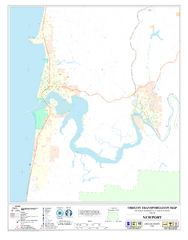
Newport Oregon Road Map
2481 miles away


