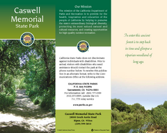
Caswell Memorial State Park Map
Map of park with detail of trails and recreation zones
2412 miles away
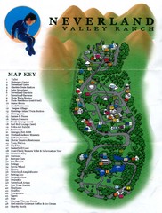
Michael Jackson's Neverland Ranch Map
Map shows all points of interest at Michael Jackson's Neverland Ranch near Los Olivos, CA.
2412 miles away
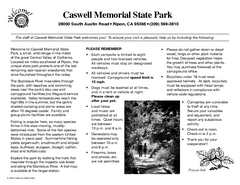
Caswell Memorial State Park Campground Map
Map of park with detail of trails and recreation zones
2413 miles away
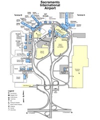
Sacramento International Airport Map
2415 miles away

Geographic Subdivisions in California Map
2415 miles away
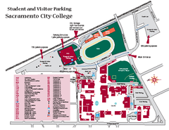
Sacramento City College Campus Map
Sacramento City Campus Map. All buildings shown.
2416 miles away
Old Sacramento State Historic Park Map
Map of park and museum with detail of trails and recreation zones
2416 miles away
California Railroad Museum Map
Map of historic museum
2416 miles away
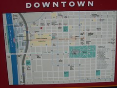
Downtown Sacramento City Map
City map of downtown Sacramento, California. From 2007 photo.
2417 miles away
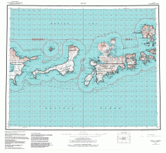
Adak Alaska Topo Map
Topo map of former military outpost. 1:250,000 Scale. City incorporated in 2001.
2417 miles away

Downtown Sacramento, California Map
Tourist map of Downtown Sacramento, California. Museums, lodging, shopping and other attractions...
2417 miles away
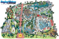
Raging Waters Sacramento Map
Fun and amusing water park for the whole family!
2417 miles away
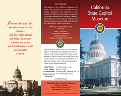
California State Capitol Museum Map
Map of museum and park
2417 miles away
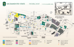
California State University at Sacramento Map
California State University at Sacramento Campus Map. All buildings shown.
2417 miles away
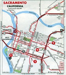
Sacramento, California City Map
2417 miles away
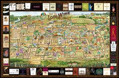
Lodi Valley Wine Map & Visitors Guide
A great source for information about the Lodi Wineries and our valleys rich Wine Region
2417 miles away
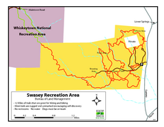
Swasey Recreation Area Map
12 Miles of trails that are great for hiking and biking. Most trails are rugged and unmarked...
2420 miles away
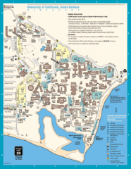
UC Santa Barbara Map
Campus map
2420 miles away
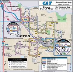
Ceres, CA Transportation Map
2421 miles away
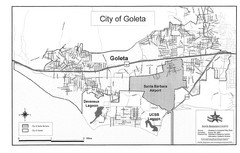
Goleta City Map
Street map of Goleta, California
2421 miles away
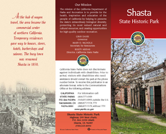
Shasta State Historic Park Map
Map of park with detail of trails and recreation zones
2421 miles away
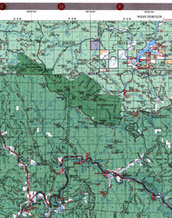
Klamath National Forest Map
Visitor Map of Klamath, western part of the park. Includes all roads, lakes, rivers and camping...
2421 miles away
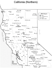
Northern California Airports Map
2421 miles away
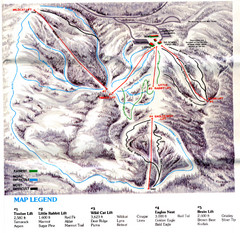
Iron Mountain Trail Map
Iron Mountain ski area
2422 miles away
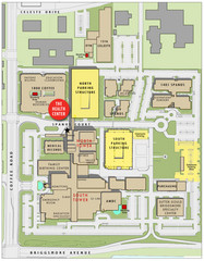
Memorial Medical Center Map
2422 miles away
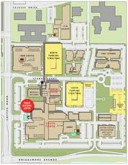
Memorial Medical Center Map
2422 miles away
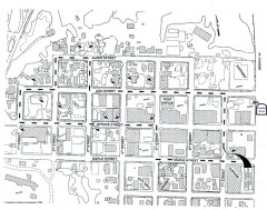
Myrtle Point walking tour Map
Walking tour map of the Historic homes of Myrtle Point in the Coquille Valley of Oregon.
2423 miles away
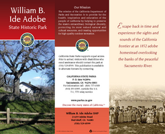
William B. Ide Adobe State Historic Park Map
Map of park with detail of trails and recreation zones
2423 miles away
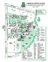
American River College Campus Map
American River College Campus Map. Shows all buildings.
2426 miles away
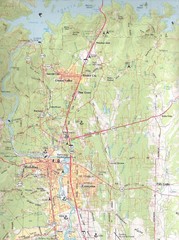
Redding, California City Map
2426 miles away

Santa Barbara, California City Map
2428 miles away
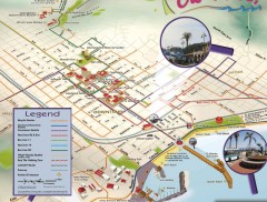
Santa Barbara Car Free Map
Shows bicycle and public transportation routes in downtown Santa Barbara, CA. Shows points of...
2428 miles away
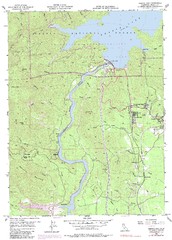
Shasta Dam Quad - Shasta Lake Map
Topographic map, Shasta Dam Quadrangle, California 1969. Area of map includes a portion of Shasta...
2428 miles away
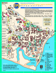
University of California at Santa Barbara Map
University of California at Santa Barbara Campus Map. All buildings shown.
2428 miles away

Santa Barbara Area Map
2428 miles away

El Presidio de Santa Barbara State Park Map
2428 miles away
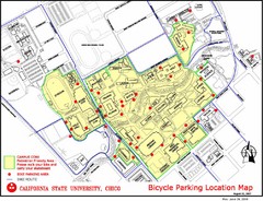
California State University, Chico Bike Parking...
Map that highlights all the available bike parking area and bike routes throughout the campus and...
2428 miles away
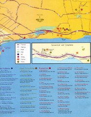
Santa Barbara Map
2429 miles away
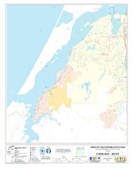
West Coos Bay Oregon Road Map
2429 miles away
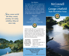
McConnell State Recreation Area Map
Map of park with detail of trails and recreation zones
2430 miles away

