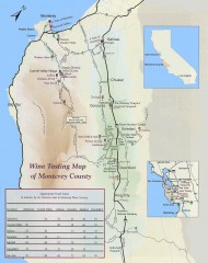
Wine tasting map of Monterey County
Wine tasting map of Monterey County, California, showing vineyards, wineries, and approximate drive...
2371 miles away
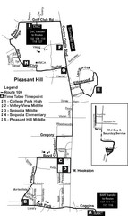
Pleasant Hill, CA Map
2372 miles away
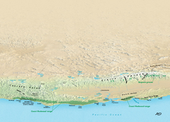
California Redwood Range Map
NPS prospective map of the coastal redwoord range in California, extending from Santa Cruz north to...
2372 miles away
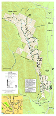
Pleasanton Ridge Regional Park Map
2372 miles away
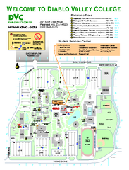
Diablo Valley College Map
2373 miles away
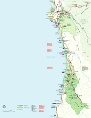
Redwood National Park Map
Official NPS map of Redwood National Park, California. Also shows Jedediah Smith Redwoods State...
2373 miles away
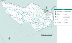
Motorcycle County Park Map
Map of Motorcycle County Park in Santa Clara County near San Jose, California. Shows all park...
2373 miles away
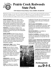
Prairie Creek Redwoods State Park Campground Map
Map of campground region of park with detail of trails and recreation zones
2373 miles away
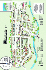
Walking Map of Downtown Danville, California
Tourist walking map of downtown Danville, California. Shows restaurants, shops, visitor's...
2373 miles away
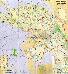
Shell Ridge Open Space Trail Map
Trail map of Shell Ridge Open Space, Walnut Creek's largest open space unit, with trails for...
2374 miles away
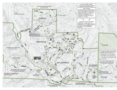
Sunol Regional Wilderness Trail Map - West
Trail map of western portion of Sunol Regional Wilderness in Sunol, California.
2374 miles away
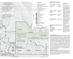
Sunol Regional Wilderness Trail Map - East
Trail map of eastern portion of Sunol Regional Wilderness in Sunol, California.
2374 miles away

Fremont Peak State Park Map
Map of park with detail of trails and recreation zones
2374 miles away
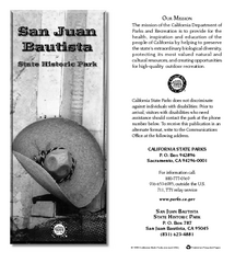
San Juan Bautista State Historic Park Map
Map of park with detail of trails and recreation zones
2375 miles away
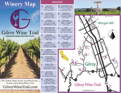
Gilroy Wine Tasting Map
2376 miles away
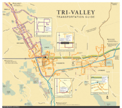
Tri Valley Transportation and Road Map
The Tri Valley cities roads and routes.
2376 miles away
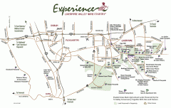
Livermore Valley Wineries, California Map
Map of wineries in Livermore Valley, California. Shows wineries, olive groves, and preserved land.
2377 miles away
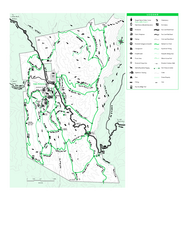
Joseph D. Grant County Park Map
Trail map of Joseph D Grant County Park in Santa Clara County, California
2377 miles away
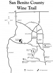
San Benito County Wine Trail Map
Wineries in the San Benito County, California area.
2378 miles away
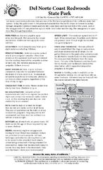
Del Norte Coast Redwoods State Park Campground Map
Map of park with detail of trails and recreation zones
2378 miles away
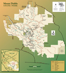
Mt. Diablo State Park Map
Trail map of Mt. Diablo State Park near Walnut Creek, CA
2378 miles away
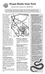
Mount Diablo State Park Campground Map
Map of park with detail of trails and recreation zones
2378 miles away

Lake Berryessa Map
Lake Berryessa Recreational Map, Napa County, California
2379 miles away

Lake Berryessa Recreation Map
Lake Berryessa Recreational Map, Napa County, California
2379 miles away

Greater Lake Berryessa Region Tourist Map
Tourist map of the Lake Berryessa region in Napa, California
2380 miles away
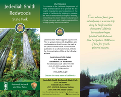
Jedediah Smith Redwoods State Park Map
Map of park with detail of trails and recreation zones
2381 miles away
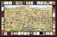
Livermore Winery Tour Map
Livermore Valley Wine Map & Visitors Guide - A great source for information about the Livermore...
2381 miles away
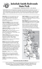
Jedediah Smith Redwoods State Park Campground Map
Map of campground region of park with detail of trails and recreation zones
2381 miles away
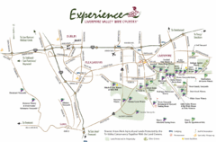
Livermore Valley Wine Map
Map showing the wineries in the Livermore Valley of California.
2382 miles away
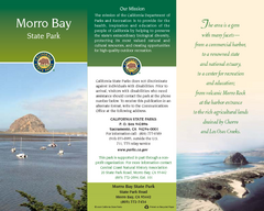
Morro Bay State Park Map
Map of park with detail of trails and recreation zones
2382 miles away
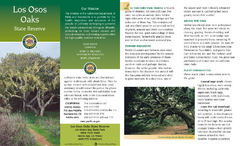
Los Osos Oaks State Reserve Map
Map of reserve with detail of trails and recreation zones
2384 miles away

Mount Whitney Route Map
2385 miles away
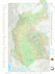
Sacramento River Watershed Map
The map shows, rivers, cities, counties, and roads surrounding the Sacramento River.
2386 miles away
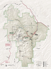
Pinnacles National Monument Map
2386 miles away
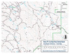
Henry W. Coe State Park, Dowdy Ranch Map
Henry W. Coe State Park Southeast Entrance Trail Map.
2388 miles away
Henry W. Coe State Park Map
Map of park with detail of trails and recreation zones
2388 miles away
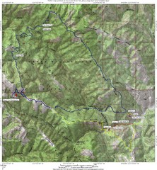
Henry Willard Coe State Park Topographical Map
Topographical map of Henry Willard Coe State Park. Includes roads, elevation information and some...
2388 miles away
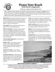
Pismo Beach North Campground Map
Map of park with detail of trails and recreation zones
2389 miles away
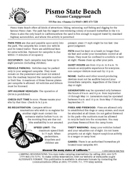
Pismo Beach Oceano Campground Map
Map of oceano campground region of park with detail of trails and recreation zones
2389 miles away
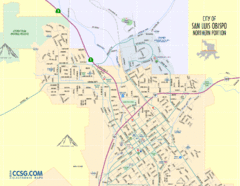
San Luis Obispo City Map - Northern Portion
City map of northern portion of San Luis Obispo, California
2390 miles away

