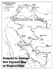
Grizzly Peak Century North Loop Route Map
Road bike route map of the north loop in the Grizzly Peak Century Ride. From site: "The...
2364 miles away
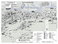
Anthony Chabot Regional Park Map - North
Trail map of the north section of Anthony Chabot Regional Park in the East Bay Hills.
2365 miles away
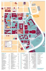
Santa Clara University Campus Map
Campus map of Santa Clara University
2365 miles away

Alaska's Aleutian Islands Map
2365 miles away
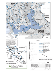
Lake Chabot Trail Map
2365 miles away
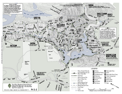
Anthony Chabot Regional Park Map - South
2365 miles away
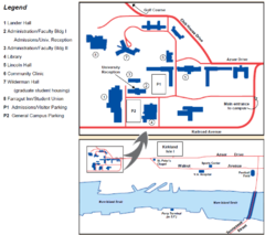
Touro University Map
Campus map of Touro University's Mare Island Campus.
2366 miles away
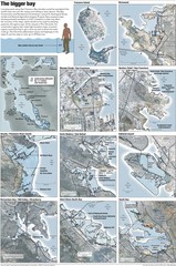
San Francisco Sea Level Rise Map
Guide to the San Francisco Bay Area, and the areas that will be underwater if there is a 1 meter...
2366 miles away
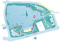
Almaden Lake Park Map
2366 miles away

1895 San Francisco Bay Area Map
Guide to the San Francisco Bay Area in 1895
2366 miles away
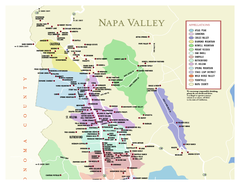
Napa County Wineries, California Map
Map of wineries in Napa County, California. Shows wineries and appellations.
2366 miles away
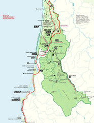
Prairie Crek State Park Map
2366 miles away

Motorcycle Parking in Downtown San Jose...
Motorcycle parking map of downtown San Jose, California. Shows locations and inventory of parking...
2367 miles away
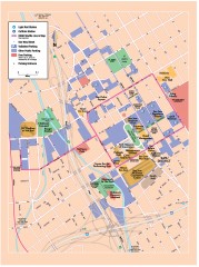
San Jose Downtown map
San Jose sowntown street map showing public transportation and parking.
2367 miles away
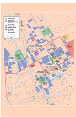
Downtown San Jose, California Map
Tourist map of downtown San Jose, California. Museums, theaters, parks, and other points of...
2367 miles away
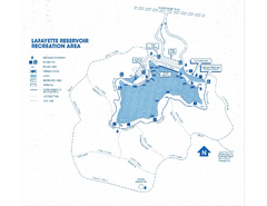
Lafayette Reservoir Recreation Area Map
2367 miles away
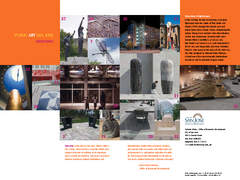
Public Art in Downtown San Jose, California Map
Shows locations of public art in downtown San Jose, California, as well as public transportation...
2367 miles away
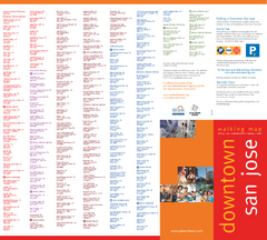
Walking Guide to Downtown San Jose, California Map
Tourist walking map of downtown San Jose, California. Lists and shows locations of dining, art...
2367 miles away
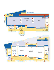
McEnery Convention Center, San Jose, California...
Floorplan map of McEnery Convention Center in San Jose, California.
2367 miles away
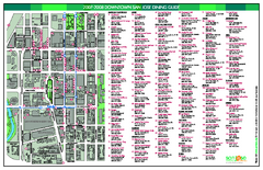
Dining in Downtown San Jose, California Map
Map of dining opportunities in downtown San Jose, California. Shows locations and telephone numbers...
2367 miles away

San Jose, California City Map
2367 miles away
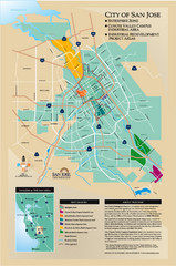
San Jose Enterprise Zone map
Map of Enterprise Zone in San Jose, CA
2367 miles away
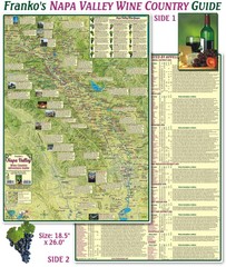
Napa Valley Wine Country Guide Map
Map of the Napa Valley Wine Country. With over 250 local Wineries listed. Printed on waterproof...
2367 miles away
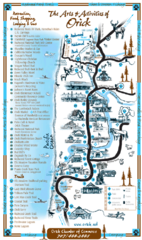
Orick Redwood National Park Map
2368 miles away
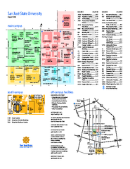
San Jose State University Map
Campus Map of San Jose State University in California. All buildings are shown.
2368 miles away
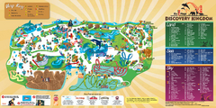
Six Flags Discovery Kingdom Park Map
Six Flags Discovery Kingdom theme park (formerly Marine World) in Vallejo, California. Experience...
2368 miles away
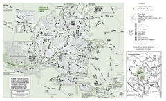
Briones Regional Park Trail Map
Trail map of Briones Regional Park in East Bay.
2368 miles away

Redwood National Park Map
2369 miles away
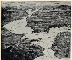
1936 San Francisco Bay Area Map Part 1
Guide to the San Francisco Bay Area in 1936, hand drawing over photograph
2369 miles away
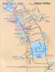
Napa Valley Tourist map
Tourist map of Napa Valley in California, showing wineries and museums in the area.
2369 miles away
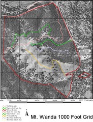
Mt. Wanda Aerial Trail Map
Trail map of Mt. Wanda area in the John Muir National Historic Site.
2370 miles away
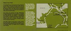
John Muir National Histroric Site Map
2370 miles away
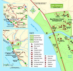
San Simeon State Park West Map
Map of west region of park with detail of trails and recreation zones
2371 miles away
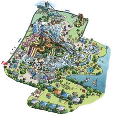
Raging Waters San Jose Map
Simple map of this fun water park for the whole family!
2371 miles away
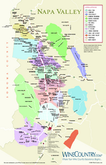
Napa Valley Wine Map
Wine map of Napa Valley, Napa, California. Shows all vineyards and shading by appellations from...
2371 miles away

San Simeon State Park Map
Map of park with detail of trails and recreation zones
2371 miles away
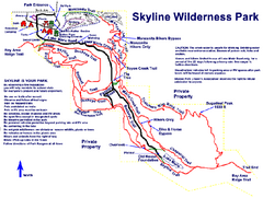
Skyline Wilderness Park Map
Trail map of Skyline Wilderness Park in Napa, California
2371 miles away
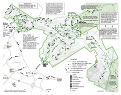
Mission Peak Preserve Map
Park map of Mission Peak Regional Preserve in Fremont, California. Topo map shows trails and trail...
2371 miles away
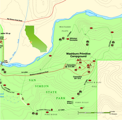
San Simeon State Park East Map
Map of east region of park with detail of trails and recreation zones
2371 miles away
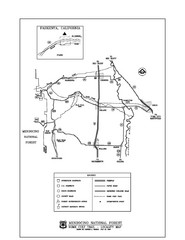
Mendocino National Forest map
Map of the Nome Cult Trail Walk in the Mendocino National Forest.
2371 miles away

