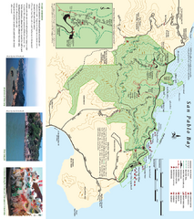
China Camp State Park Map
Trail map of China Camp State Park. Shows trails by use type and all park facilities.
2352 miles away
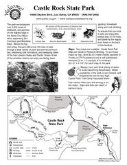
Castle Rock State Park Map
Map of park with detail of trails and recreation zones
2352 miles away
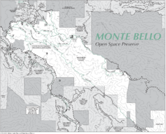
Monte Bello Open Space Preserve Map
Trail map of Monte Bello Open Space Preserve. Covers 3,142 acres and 15.5 miles of trails
2352 miles away
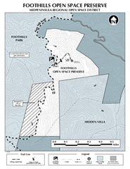
Foothills Regional Open Space Preserve Map
Preserve map of 212 acre Foothills Regional Open Space Preserve. A 0.4 mile trail leads from Page...
2353 miles away
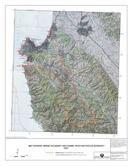
Monterey Peninsula and Carmel River Watershed...
This map contains a digital raster graphic topographic base map of the Monterey Peninsula Water...
2353 miles away

Arastradero Preserve Map
Trail map of Arastradero Preserve shows 10.25 miles of trails.
2353 miles away
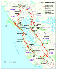
Bay Area Ridge Trail Map
Map of the Bay Area Ridge Trail. Shows completed segments through Sep 2009. "a 550+ mile...
2353 miles away
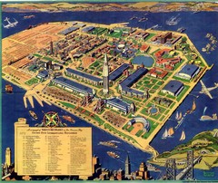
Golden Gate International Expo Cartograph 1939 Map
Bird's eye view of the Golden Gate International Expo in 1939 at Treasure Island in the San...
2354 miles away
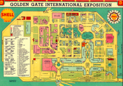
Golden Gate International Expo 1939 Map
Map of the 1939 Golden Gate International Expo.
2354 miles away
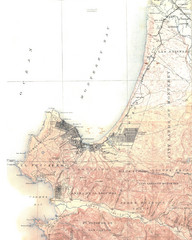
Monterey Map
2354 miles away
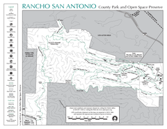
Rancho San Antonio Open Space Preserve Map
Park map of Rancho San Antonio Open Space Preserve near Los Altos, CA. Encompasses 3800 acres and...
2354 miles away
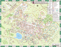
Stanford University Map
A map of the Stanford University campus.
2354 miles away
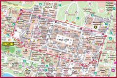
Cardinal Walk Map
Map of Stanford University campus with Cardinal Walk detail
2355 miles away
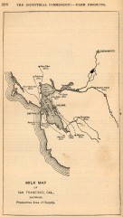
Antique map of San Francisco from 1901
"Milk Map of San Franciso, Cal., Showing Productive Area of Supply." From Report of the...
2355 miles away
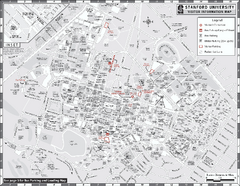
Stanford University Map
Stanford University Campus Map. All buildings shown.
2355 miles away
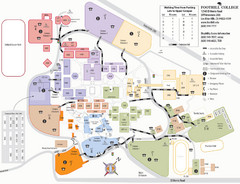
Foothill College Campus Map
Campus map of Foothill College in Los Altos Hills, CA for 2008-2009.
2355 miles away
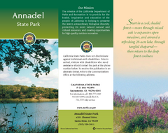
Annadel State Park Map
Map of park with detail of trails and recreation zones
2356 miles away
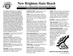
New Brighton State Beach Campground Map
Map of campground region of beach/park with detail of trails and recreation zones
2357 miles away
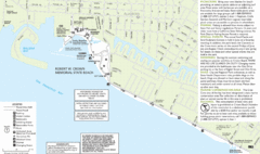
Crown Memorial State Beach Map
2357 miles away
Jack London State Historic Park Map
Map of park with detail of trails and recreation zones
2357 miles away
Seacliff & New Brighton State Beaches Map
Map of beaches and parks with detail of trails and recreation zones
2357 miles away

Laguna Seca Raceway Map
Overview map of the Laguna Seca Raceway. Shows track, parking, and facilities.
2357 miles away
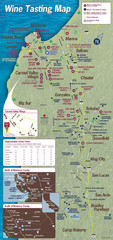
Monterey area wineries map
Map of wineries with public tasting rooms in the Monterey area
2357 miles away
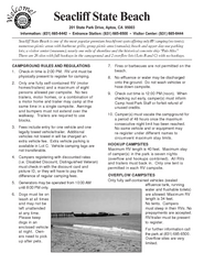
Seacliff State Beach Campground Map
Map of campground region of beach and park with detail of trails and recreation zones
2357 miles away
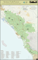
Ventana Wilderness Trails Map
Trail map of the Ventana Wilderness east of Big Sur. Also shows trails in the Silver Peak...
2358 miles away
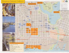
Oakland Tourist Map
Tourist map of downtown Oakland, California. Shows shopping districts.
2358 miles away

Alaskan Aleutian Islands Map
2358 miles away

Limeklin State Park Map
Map of park with detail of trails and recreation zones
2358 miles away
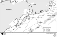
Bay Area, CA Bike Map
2358 miles away

Palo Alto Baylands Nature Preserve Map
Map of the Palo Alto Baylands Nature Preserve in Palo Alto, CA. Shows trails, including part of...
2358 miles away

Downtown Oakland, California Map
Tourist map of downtown Oakland, California. Shows museums, parks, neighborhoods of interest and...
2358 miles away
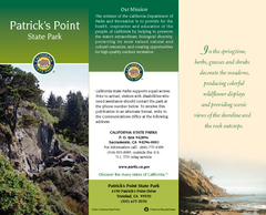
Patrick's Point State Park Map
Map of park with detail of trails and recreation zones
2359 miles away
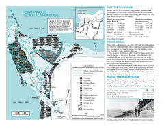
Point Pinole Regional Shoreline Map
2359 miles away
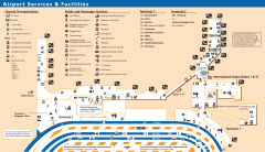
Oakland International Airport (OAK) Map
Terminal map. Shows all airport services and facilities
2359 miles away
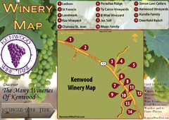
Kenwood Wine Tasting Map
2359 miles away
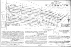
1914 Bouquet Key Route Business Block Map
This map shows the borders of the Bouquet Business District in Contra Costa County, CA
2359 miles away
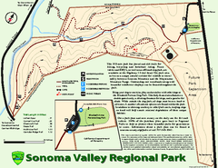
Sonoma Valley Regional Park Map
Trail map of 202 acre Sonoma Valley Regional Park.
2359 miles away
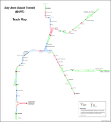
Bay Area Rapid Transit (BART) Track Map
Map of Bay Area Rapid Transit (BART) tracks. Includes all train stops and details about the tracks.
2360 miles away
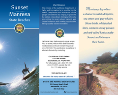
Sunset & Manresa State Beaches Map
Map of beaches and parks with detail of trails and recreation zones
2360 miles away
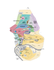
UC Botanical Gardens Map
Unfortunately this is a copy of an interactive map, so is slightly blurred at full size
2360 miles away

