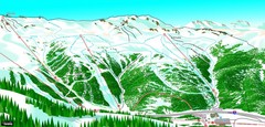
Loveland North View Ski Trail Map
Trail map from Loveland, which provides downhill, nordic, and terrain park skiing. It has 10 lifts...
245 miles away
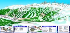
Loveland South View Ski Trail Map
Trail map from Loveland, which provides downhill, nordic, and terrain park skiing. It has 10 lifts...
245 miles away
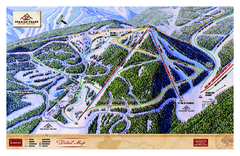
Spanish Peaks Resort Ski Trail Map
Trail map from Spanish Peaks Resort. It has 2 lifts servicing 12 runs; the longest run is 2574...
246 miles away
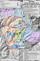
Vail Pass Area Recreation map
Recreation map of the area south of Vail Pass, Colorado. Shows trails and management areas.
246 miles away
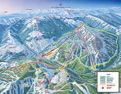
Yellowstone Club Ski Trail Map
Trail map from Yellowstone Club, which provides terrain park skiing. It has 15 lifts servicing 60...
246 miles away
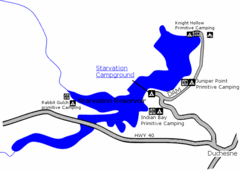
Starvation State Park Map
The sprawling waters of Starvation Reservoir offer great fishing and boating. Find a secluded...
247 miles away
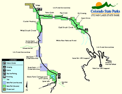
Sylvan Lake State Park Map
Map of park with detail of recreation zones and campgrounds
247 miles away

Big Sky Resort Lone Peak Detail Ski Trail Map
Trail map from Big Sky Resort, which provides terrain park skiing. It has 21 lifts servicing 150...
248 miles away
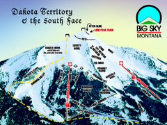
Big Sky Resort Dakota Territory Detail Ski Trail...
Trail map from Big Sky Resort, which provides terrain park skiing. It has 21 lifts servicing 150...
248 miles away

Big Sky Ski Resort Trail Map (Southern exposure...
Big Sky ski resort trail map (Southern exposure) for the 2006-2007 season. Also check out the...
248 miles away
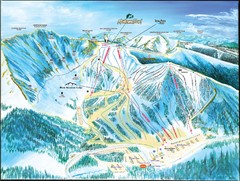
Arapahoe Basin Frontside Ski Trail Map
Trail map from Arapahoe Basin, which provides terrain park skiing. It has 7 lifts servicing 105...
248 miles away
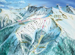
Arapahoe Basin Montezuma Bowl Ski Trail Map
Trail map from Arapahoe Basin, which provides terrain park skiing. It has 7 lifts servicing 105...
248 miles away

Utah Dinosaur Country Map
248 miles away
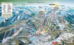
Big Sky Ski Resort Trail Map (Eastern exposure...
Big Sky ski resort trail map (Eastern exposure) for the 2006-2007 season
248 miles away

Arapahoe Basin Trail Map
Ski trail map
248 miles away
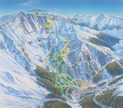
Arapahoe Basin Ski Trail map
Official ski trail map of Arapahoe Basin ski area from the 2006-2007 season. Look for 400 acre...
249 miles away
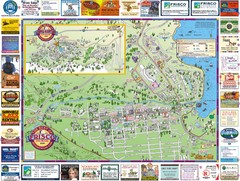
Frisco, CO Resort Map
Resort Maps of Summit County is the most widely distributed map in Frisco, Copper Mountain...
249 miles away
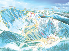
Arapahoe Basin Ski Trail Map 2007
Ski trail map of Arapahoe Basin ski area
249 miles away
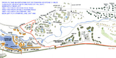
Keystone, Colorado Map
Areas around Keystone resort in Colorado
249 miles away
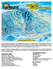
Sunlight Mountain Resort Ski Trail Map
Trail map from Sunlight Mountain Resort, which provides downhill, nordic, and terrain park skiing...
250 miles away

Wolf Mountain Ski Trail Map
Trail map from Wolf Mountain.
250 miles away
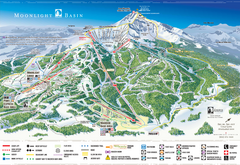
Moonlight Basin Ski Trail Map
Trail map from Moonlight Basin, which provides terrain park skiing. It has 8 lifts servicing 92...
250 miles away

Utah mountain resorts Map
250 miles away
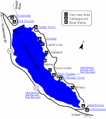
Rockport State Park Map
Find first-rate, year-round recreation at this northern Utah destination. During summer, fish, boat...
251 miles away
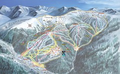
Keystone Resort Ski Trail Map
Trail map from Keystone Resort, which provides downhill, night, and terrain park skiing. It has 20...
251 miles away

Mt. Evans Contour Map
Guide to the area around Mt. Evans, near Denver, CO
251 miles away
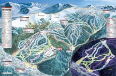
Keystone Ski Trail map 2006-07
Official ski trail map of Keystone ski area from the 2006-2007 season.
251 miles away
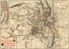
Denver and Rio Grande and Rio Grande Western...
Shows the Denver & Rio Grande and Rio Grande Western railroad system map circa 1904
252 miles away

Montezuma Bowl Trail Map
252 miles away
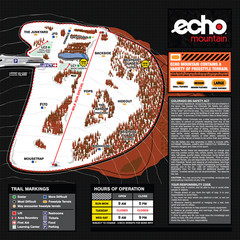
Echo Mountain Park Ski Trail Map
Trail map from Echo Mountain Park, which provides downhill, night, and terrain park skiing. It has...
252 miles away
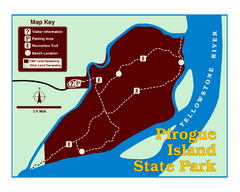
Pirogue Island State Park Map
Visitors find this isolated and undeveloped cottonwood-covered Yellowstone River island an...
253 miles away

Snowbasin Nordic Trail Map
Nordic trail map of Snowbasin resort, Utah
253 miles away
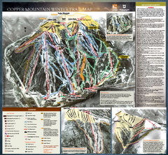
Copper Mountain Resort Ski Trail Map
Trail map from Copper Mountain Resort, which provides downhill and terrain park skiing. It has 21...
253 miles away
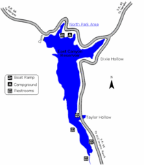
East Canyon State Park Map
East Canyon State Park is a 680-acre boating and year-round fishing delight nestled in the...
254 miles away
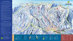
Snowbasin Ski Trail Map
Official ski trail map of ski area from the 2007-2008 season.
254 miles away

Copper Mountain Ski Trail map 2006-07
Official ski trail map of Copper ski area for the 2006-2007 season. This map shows the Front Side...
254 miles away
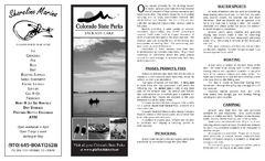
Jackson Lake State Park Map
Map of park with detail of recreation areas
255 miles away

Mt. Evans Road Wildflower Viewing Map
Shows wildflower viewing area at Mt. Goliath and Mt. Evans along Mt. Evans Road in Colorado. "...
255 miles away
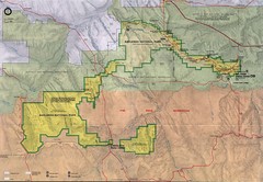
Badlands National Park Map
255 miles away

Bridger Bowl Ski Area Ski Trail Map
Trail map from Bridger Bowl Ski Area.
255 miles away

