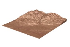
Emigrant Montana towards Baldy and Emigrant Peak...
Emigrant, MT towards Baldy and Emigrant Peak
223 miles away
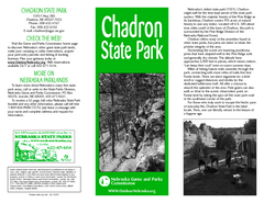
Chadron State Park Map
The majestic beauty of the Pine Ridge forms the backdrop for this great, get away from it all state...
226 miles away
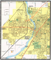
Idaho Falls, Idaho City Map
228 miles away
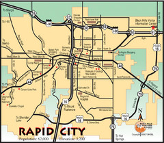
Rapid City, South Dakota City Map
229 miles away
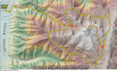
Logan Peak Trail Run Map 2009
Trail run map of the Logan Peak Trail Run 2009 course.
233 miles away
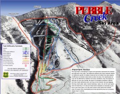
Pebble Creek Ski Trail Map
Official ski trail map of Pebble Creek ski area
233 miles away

Mirror Lake Highway Map
234 miles away

Winter Park Trail Map
Ski trail map
234 miles away

Winter Park Trail Map
234 miles away
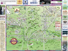
Resort Maps of Eagle River Valley Map
Resort Maps of Eagle River Valley is the most popular and widely distributed map of Minturn, Red...
234 miles away
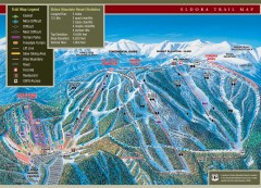
Eldora Mountain Ski trail Map
Official ski trail map of Eldora Mountain Resort ski area.
235 miles away
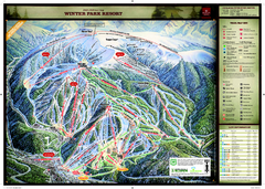
Winter Park Resort Ski Trail Map
Trail map from Winter Park Resort, which provides downhill and terrain park skiing. It has 25 lifts...
235 miles away
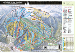
Winter Park Resort Ski Trail Map 2006-07
Official ski trail map of Winter Park for the 2006-2007 season.
235 miles away
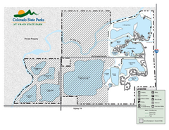
St. Vrain State Park Map
Map of park with detail of recreation zones
237 miles away
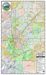
Boulder Open Space and Mountain Park Trail Map
Shows all trails in Open Spaces and Mountain Parks around Boulder, CO
238 miles away

Eagle River Valley Resort Maps Map
Resort Maps of Eagle River Valley is the most popular and widely distributed map of Minturn, Red...
238 miles away
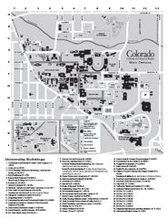
University of Colorado at Boulder Map
University of Colorado at Boulder Campus Map. All buildings shown.
238 miles away
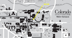
University of Colorado at Boulder Campus Map
238 miles away

HOP Route Map
Map of HOP bus route throughout Boulder
238 miles away

Glenwood Springs, CO carved by CarvedMaps.com Map
Glenwood Springs, Colorado carved by CarvedMaps.com Virtually anywhere within the US can be carved...
239 miles away
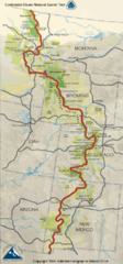
Continental Divide Trail Map
Guide to the full Continental Divide trail
239 miles away
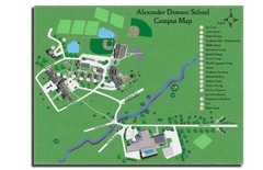
Alexander Dawson School Map
Campus map
239 miles away
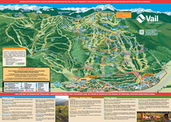
Vail Mountain resort Summer Adventure Map
Map of all hiking and mountain biking trails maintained by Vail Mountain Resort
240 miles away
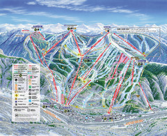
Vail Map
Map of Vail with ski locations and lifts included
240 miles away
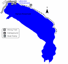
Hyrum State Park Map
Tucked away in Cache County, Hyrum State Park offers many recreation opportunities including...
240 miles away
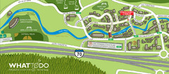
Vail Village Map
241 miles away
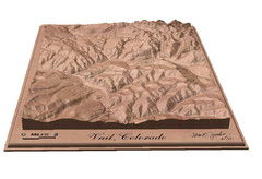
Vail, Colorado carved by carvedmaps.com Map
241 miles away
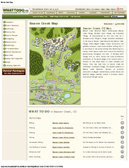
Beaver Creek Map
Beaver Creek Map, Beaver Creek Shopping Map, Beaver Creek Lodging Map, Activities, Restaurants...
241 miles away
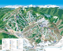
Beaver Creek Ski Trail Map
Official ski trail map of Beaver Creek ski area from the 2007-2008 season. Map also includes...
242 miles away
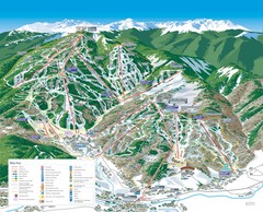
Beaver Creek Resort Ski Trail Map
Trail map from Beaver Creek Resort, which provides downhill and terrain park skiing. It has 16...
243 miles away
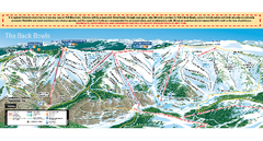
Vail Ski Trail map 2006-07
Ski trail map of Vail ski area for the 2006-2007 season. Shows all 3 sides of Vail: 1) Back Bowls...
243 miles away
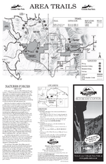
Eldorado Canyon State Park Map
Map of park with detail of trails and recreation zones
243 miles away
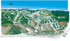
Vail Ski Trail Map
Trail map from Vail, which provides downhill and terrain park skiing. It has 32 lifts servicing 193...
243 miles away
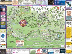
Minturn Map
243 miles away
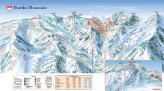
Powder Mountain Ski Trail Map
Official ski trail map of Powder Mountain ski area from the 2007-2008 season.
244 miles away
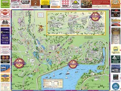
Summit County Resort Maps Map
Resort Maps of Summit County is the most widely distributed map in Frisco, Copper Mountain...
244 miles away
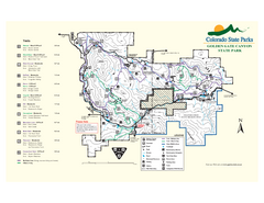
Golden Gate Canyon State Park Map
Map of park with detail of trails
245 miles away

Loveland Trail Map
Ski Trail Map
245 miles away

