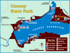
Cooney State Park Map
Simple and clear State Park Map.
188 miles away
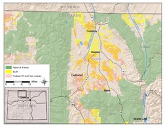
North Park Colorado Map
188 miles away
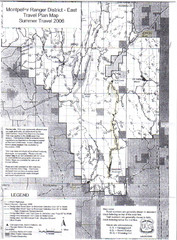
Montpelier Ranger District East Map
Map for Summer Encampment trip to Montpelier, Wyoming for Idaho Company, American Long Rifle...
189 miles away
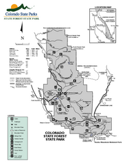
State Forest State Park Map
Map of park with detail of trails and recreation zones
190 miles away
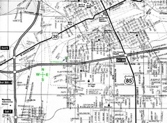
Cheyenne, Wyoming City Map
191 miles away
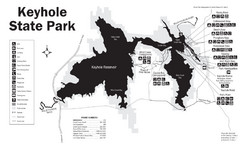
Keyhole State Park Map
Keyhole State Park is located on the western edge of the famed Black Hills, between Sundance and...
191 miles away
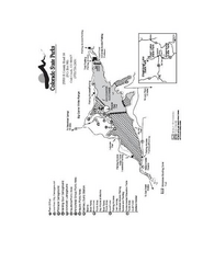
Stagecoach State Park Map
Map of park with detail of campgrounds and recreation zones
192 miles away
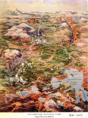
Detail of Yellowstone National Park, 1910 Map
Detail of Yellowstone National Park showing the Oregon Short Line Railroad, 1910
193 miles away
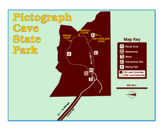
Pictograph Cave State Park Map
The 2,730-square-foot building, on the northwestern side of the existing parking lot, is designed...
194 miles away

Black Hills National Forest Map
Areas in Black Hills National Forest
197 miles away

Black Hills National Forest Park Map
197 miles away
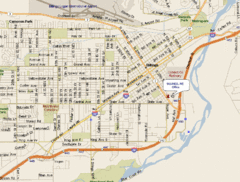
Billings, Montana City Map
198 miles away
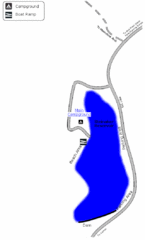
Steinaker State Park Map
Fish for rainbow trout and largemouth bass, and enjoy sandy beaches, swim, boat, and waterski at...
200 miles away

Black Hills Map
201 miles away
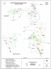
Caribou-Targhee Park map
201 miles away
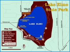
Lake Elmo State Park Map
This urban day-use park attracts visitors to swim, sailboard, and fish. A display in the Fish...
202 miles away
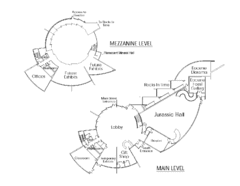
Utah Field House of Natural History Map
So much time is revealed here, even more geologic time than in the Grand Canyon. Within an 80-mile...
203 miles away
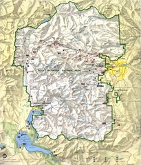
Rocky Mountain National Park Map
Rocky Mountain National Park Map and surrounding National Forests of Arapaho and Roosevelt.
204 miles away
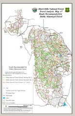
Black Hills National Forest Tourist Map
Black Hills National Forest in Custer, South Dakota
205 miles away
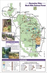
Black Hills National Forest Guide Map
Forest Recreation guide Map
206 miles away
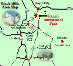
Black Hills Area Map
206 miles away
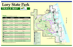
Lory State Park Trail Map
Map of park with detail of hiking trails
207 miles away
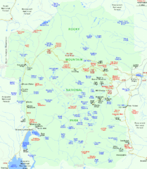
Rocky Mountain National Park Tourist Map
207 miles away
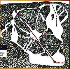
Mystic Miner Ski Resort at Deer Mountain West...
Trail map from Mystic Miner Ski Resort at Deer Mountain.
207 miles away
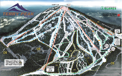
Terry Peak Ski Area Ski Trail Map
Trail map from Terry Peak Ski Area.
208 miles away
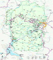
Rocky Mountain National Park Official Map
Rocky Mountain National Park Official Map. Shows all roads, trails, rivers, and mountain summits.
208 miles away
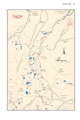
Kings Peak Trail Map
Trail map of route to Kings Peak, highest mountain in Utah at 13,528 ft. Route is around 30 miles...
209 miles away

Wind Cave Tour Routes Detail Map
Shows the following tour routes: Natural Entrance Tour, Garden Eden Tour, Fairgrounds Tour, and...
209 miles away
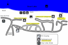
Rendezvous Beach Map
Bear Lake State Park is nestled high in the Rocky Mountains on the Utah-Idaho border. The cool...
209 miles away
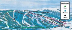
Kelly Canyon Ski Area Ski Trail Map
Trail map from Kelly Canyon Ski Area, which provides downhill, night, and terrain park skiing. It...
210 miles away
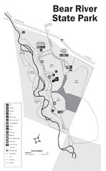
Bear River State Park Map
210 miles away

Fort Collins, Colorado City Map
211 miles away
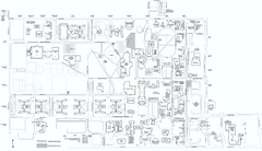
Colorado State University Map
Campus Map of Colorado State University. All area's shown.
212 miles away
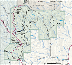
Wind Cave National Park Official Park Map
Official NPS map of Wind Cave National Park in South Dakota. Wind Cave is one of the world's...
213 miles away

Beaver Mountain Ski Area Ski Trail Map
Trail map from Beaver Mountain Ski Area.
215 miles away
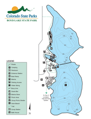
Boyd Lake State Park Map
Map of park with detail of recreation ares
220 miles away
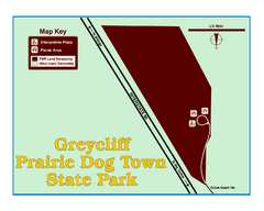
Greycliff Prairie Dog Town State Park Map
Grab your camera and hop off Interstate 90 at Greycliff to delight in the playful, curious black...
220 miles away
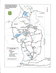
Ashton/Island Park Recreation Sites Map
221 miles away
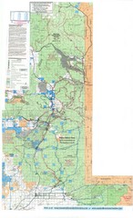
Island Park Idaho Area Snowmobile Map
221 miles away
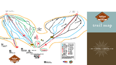
SolVista Basin at Granby Ranch Ski Trail Map
Trail map from SolVista Basin at Granby Ranch, which provides downhill and terrain park skiing. It...
222 miles away

