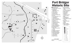
Fort Bridger State Historic Site Map
Established by Jim Bridger and Louis Vasquez in 1843 as an emigrant supply stop along the Oregon...
14 miles away
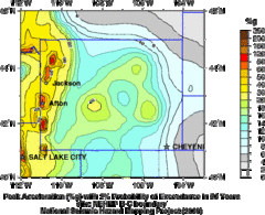
Seismic Hazard Map of Wyoming
Seismic Hazard map of probable earthquake activity for Wyoming.
14 miles away
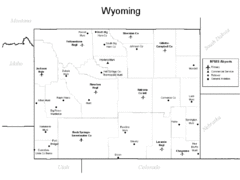
Wyoming Airports Map
14 miles away
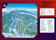
Antelope Butte Ski Area Ski Trail Map
Trail map from Antelope Butte Ski Area.
14 miles away

Boysen State Park Map
37 miles away

Continental Divide Map
45 miles away
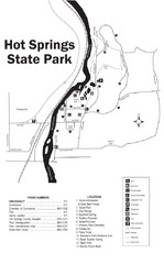
Hot Springs State Park Map
Enjoy our soothing waters, views of the unforgettable bison and some of the loveliest flower...
56 miles away
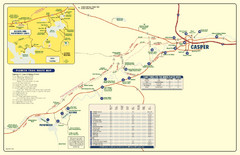
Casper, Wyoming City Map
63 miles away
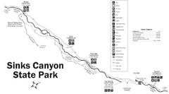
Sinks Canyon State Park Map
Sinks Canyon State Park offers hiking trails, abundant wildlife viewing, bird-watching, fishing...
64 miles away
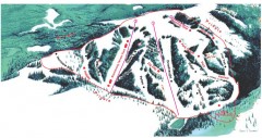
Hogadon Ski Area Trail Map
Ski trail map of Hogadon ski area, located on Casper Mountain
64 miles away
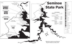
Seminoe State Park Map
Seminoe State Park offers excellent fishing, boating and wildlife-viewing opportunities.
70 miles away
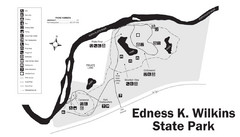
Edness Kimball Wilkins State Park Map
Edness K. Wilkins State Park is a serene day-use park located 6 miles east of Casper off Interstate...
71 miles away
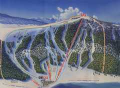
Big Horn Ski Resort Ski Trail Map
Trail map from Big Horn Ski Resort.
82 miles away
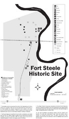
Fort Fred Steele State Historic Site Map
This frontier Army post has a fascinating history interlacing transportation with the military and...
90 miles away
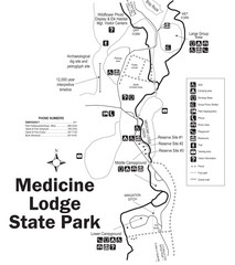
Medicine Lodge State Park Map
The Medicine Lodge site has long been known for its Indian petroglyphs and pictographs, but not...
96 miles away
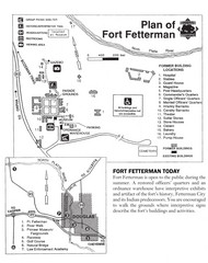
Fort Fetterman State Historic Site Map
Fort Fetterman, located approximately 11 miles northwest of Douglas. The fort was established as a...
104 miles away
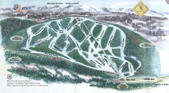
White Pine Ski Area Ski Trail Map
Trail map from White Pine Ski Area.
112 miles away
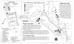
Fort Phil Kearny State Historic Site Map
Fort Phil Kearny State Historic Site is a National Historic Landmark located between Sheridan and...
116 miles away
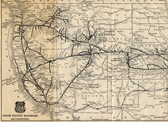
1925 Union Pacific Railroad Map Part 1
Guide to the Union Pacific railroad lines across the western half of the United States
121 miles away
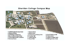
Sheridan College Campus Map
Sheridan College Campus Map. Shows all buildings.
126 miles away
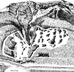
Sleeping Giant Ski Area Ski Trail Map
Trail map from Sleeping Giant Ski Area.
129 miles away
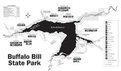
Buffalo Bill State Park Map
133 miles away
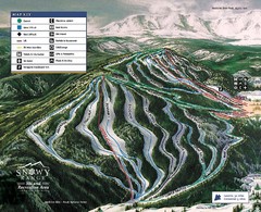
Snowy Range Ski Trail Map
Trail map from Snowy Range.
135 miles away
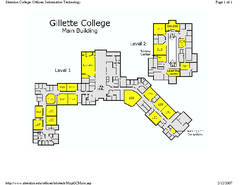
Gilette College Campus Map
Gilette College Campus Map. All buildings shown.
135 miles away
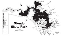
Glendo State Park Map
Glendo State Park is best known for its excellent boating opportunities, with plenty of areas for...
136 miles away
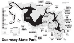
Guernsey State Park Map
The park has long been known as a haven for boating, camping, hiking and picnicking, but its real...
150 miles away
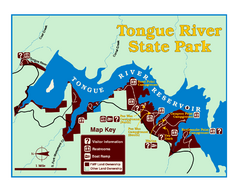
Tongue River Reservoir State Park Map
The 12-mile long reservoir is situated among scenic red shale, juniper canyons, and the open...
151 miles away
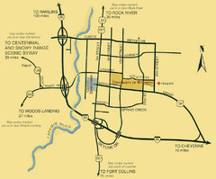
Laramie City Map
City map of Laramie, Wyoming with University of Wyoming highlighted.
154 miles away
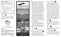
Steamboat Lake State Park Map
Map of park with detail of recreation zones
155 miles away
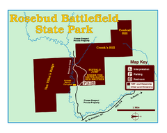
Rosebud Battlefield State Park Map
This National Historic Landmark on the rolling prairie of eastern Montana preserves the site of the...
157 miles away
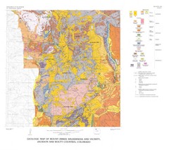
Mount Zirkel Wilderness and Vicinity Geologic Map
Geologic Map of Mount Zirkel Wilderness
162 miles away
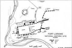
Fort Laramie Guide Map
A layout of the National Historic site Fort Laramie in Wyoming.
164 miles away
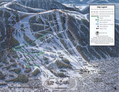
Snow King Ski Trail Map
Official ski trail map of Snow King ski area
165 miles away
Snow King Ski Area Ski Trail Map
Trail map from Snow King Ski Area.
165 miles away
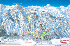
Jackson Hole Trail Map
165 miles away
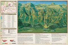
Jackson Hole Summer Mountain Map
165 miles away
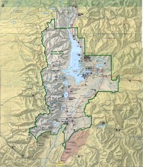
Grand Teton National Park Map
166 miles away
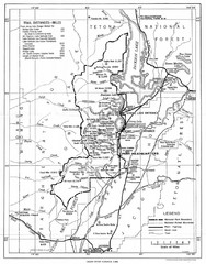
Grand Teton National Park, 1946 Map
166 miles away
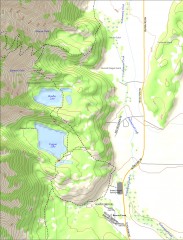
Bradley and Taggart Lake Hiking Map
Hiking map of Bradley Lake and Taggart Lake in Grand Teton National Park. A popular hike and good...
168 miles away

