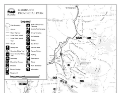
Garibaldi Provincial Park Map
Park map of Garibaldi Provincial Park, BC. 2 pages.
517 miles away
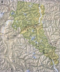
North Cascades National Park Physical Map
National Park
517 miles away
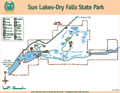
Sun Lakes-Dry Falls State Park Map
Map of park with detail of trails and recreation zones
518 miles away
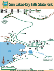
Sun Lakes-Dry Falls State Park Map
Map of park with detail of trails and recreation zones
519 miles away
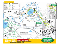
Lost Lake, Whistler Hiking and Biking Trail Map
519 miles away
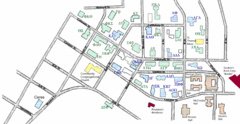
Washington State University's Greek Row Map
Map of WSU's fraternities and sororities
519 miles away
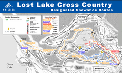
Whistler Cross Country Connection Snowshoeing Ski...
Trail map from Whistler Cross Country Connection.
520 miles away
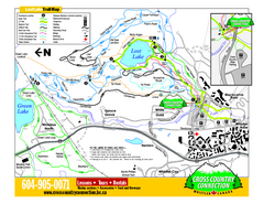
Whistler Cross Country Connection 2006–07...
Trail map from Whistler Cross Country Connection.
520 miles away

Pullman Parks Trail Map
Trails and pathways map
520 miles away
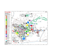
Washington State University Map
Washington State University Campus Map. All buildings shown.
520 miles away
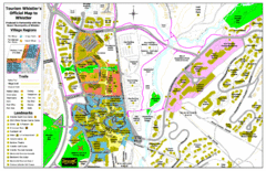
Whistler Village Map
520 miles away
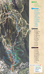
Whistler Blackcomb (Garibaldi Lift Co.) Biking...
Trail map from Whistler Blackcomb (Garibaldi Lift Co.), which provides downhill, night, and terrain...
520 miles away
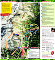
Whistler Blackcomb (Garibaldi Lift Co.) Hiking...
Trail map from Whistler Blackcomb (Garibaldi Lift Co.), which provides downhill, night, and terrain...
520 miles away
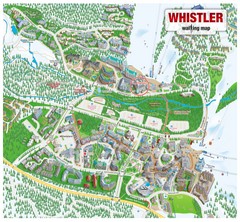
Whistler Village Map
520 miles away
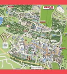
Whistler Village Map
520 miles away
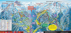
Whistler Blackcomb Ski Trail Map 2007-2008
Official ski trail map of the Whistler Blackcomb ski area from the 2007-2008 season. Site of Alpine...
520 miles away
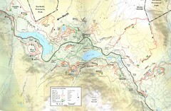
Whistler, CA Hiking and Biking Trails Map
521 miles away
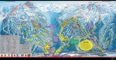
Whistler Blackcomb Ski Trail map 2005-06
Official ski trail map of the Whistler Blackcomb ski area from the 2005-2006 season. Site of the...
521 miles away
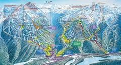
Whistler Blackcomb Trail Map
521 miles away
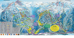
Trail Map Whistler Blackcomb
Map of all trails and ski runs at Whistler and Blackcomb mountains. Includes detailed information...
521 miles away
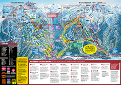
Whistler Blackcomb Trail map 2010-2011
Official ski trail map Whistler Blackcomb for the 2010-2011 season.
521 miles away
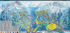
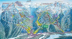
Whistler Blackcomb Ski Resort Map
Ski runs, lifts and amenities on the resort map
521 miles away

Creekside Map
Tourist map of Creekside Village
523 miles away
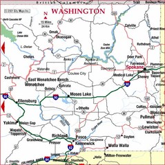
Eastern Washington Road Map
523 miles away
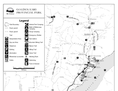
Golden Ears Provincial Park Map
Park map of Golden Ears Provincial Park, BC. 2 pages.
524 miles away
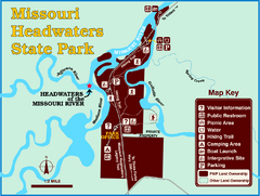
Missouri Headwaters State Park Map
This park encompasses the confluence of the Jefferson, Madison and Gallatin Rivers. The Lewis and...
524 miles away
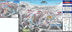
Mt. Baker Ski Trail Map
Official ski trail map of Mount Baker ski area from the 2007-2008 season.
525 miles away
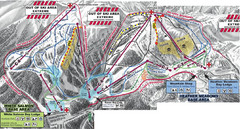
Mt. Baker Ski Area Ski Trail Map
Trail map from Mt. Baker Ski Area, which provides terrain park skiing. It has 10 lifts servicing 38...
525 miles away
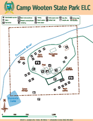
Camp Wooten State Park Map
Map of park with detail of trails and recreation zones
525 miles away
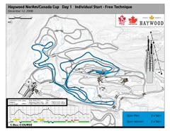
Whistler Olympic Park (Callaghan Nordic Centre...
Trail map from Whistler Olympic Park (Callaghan Nordic Centre), which provides night and nordic...
526 miles away
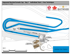
Whistler Olympic Park (Callaghan Nordic Centre...
Trail map from Whistler Olympic Park (Callaghan Nordic Centre), which provides night and nordic...
526 miles away
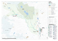
Callaghan Country Nordic Ski Trail Map
Trail map from Callaghan Country, which provides nordic skiing. This ski area opened in 1998, and...
526 miles away
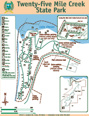
Twenty-Five Mile Creek State Park Map
Map of park with detail of trails and recreation zones
526 miles away
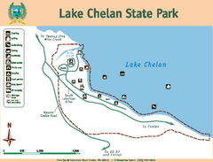
Lake Chelan State Park Map
Map of island with detail of trails and recreation zones
527 miles away
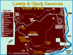
Lewis and Clark Caverns State Park Map
Montana's first and best-known state park showcases one of the most highly decorated limestone...
530 miles away
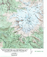
Mt. Baker Topo Map
Topo map of Mt. Baker, Washington, elevation 10,778ft.
533 miles away
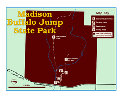
Madison Buffalo Jump State Park Map
You’ll find this day-use-only park seven graveled miles off Interstate 90 at the Logan exit...
533 miles away

Bridger Bowl Ski Area Ski Trail Map
Trail map from Bridger Bowl Ski Area.
534 miles away
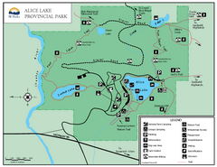
Alice Lake Provincal Park Map
538 miles away

