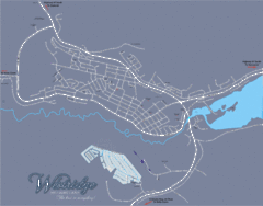
Williams Lake Town Map
431 miles away
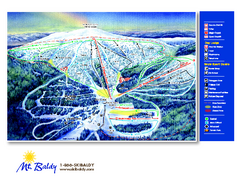
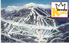
Mt. Baldy Family Ski Area Ski Trail Map
Trail map from Mt. Baldy Family Ski Area.
431 miles away
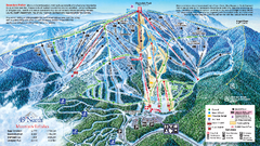
49 North Mountain Resort Ski Trail Map
Trail map from 49 North Mountain Resort, which provides downhill, night, nordic, and terrain park...
432 miles away
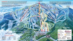
49 Degrees North Ski Trail Map
Official ski trail map of ski area from the 2007-2008 season.
432 miles away
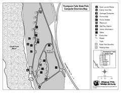
Thompson Falls State Park Map
This shaded, quiet campground is located on the Clark Fork River near the town of Thompson Falls in...
433 miles away
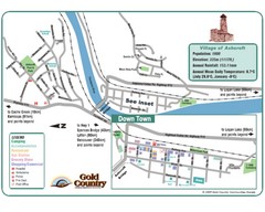
Ashcroft Map
Map of Ashcroft, includes all streets, highways, accommodations and attractions.
435 miles away
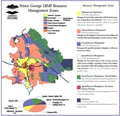
Prince George LRMP Resource Management Zone Map
Prince George Land and Resource Management Plan, color coded by land use.
438 miles away
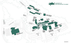
University of Northern British Columbia Campus Map
Campus map of UNBC in Prince George, British Columbia
441 miles away
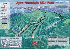
Apex Mountain Resort Biking Ski Trail Map
Trail map from Apex Mountain Resort, which provides downhill and terrain park skiing. It has 5...
441 miles away
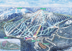
Apex Mountain Ski Trail Map
Official ski trail map of Apex Mountain ski area
441 miles away
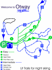
Otway Nordic Centre (Caledonia) Night lit Ski...
Trail map from Otway Nordic Centre (Caledonia), which provides night and nordic skiing. This ski...
443 miles away
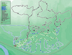
Otway Nordic Centre (Caledonia) Ski Trail Map
Trail map from Otway Nordic Centre (Caledonia), which provides night and nordic skiing. This ski...
443 miles away
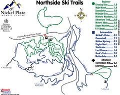
Nickel Plate Nordic Centre North Ski Trail Map
Trail map from Nickel Plate Nordic Centre.
443 miles away
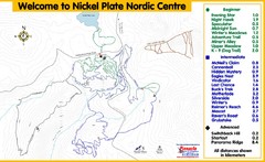
Nickel Plate Nordic Centre Ski Trail Map
Trail map from Nickel Plate Nordic Centre.
443 miles away
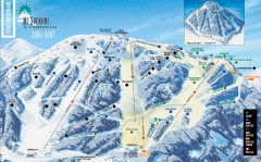
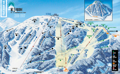
Mt. Spokane Ski Trail Map
Official ski trail map of Mount Spokane ski area from the 2006-2007 season.
444 miles away
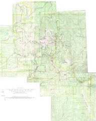
Mount Spokane Trail Map
Contour map of Mount Spokane
444 miles away
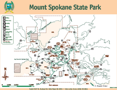
Mount Spokane State Park Map
Map of park with detail of trails and recreation zones
444 miles away
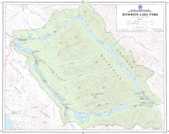
Bowron Lake Park Map
Topographical map of Bowron Lake Park
445 miles away
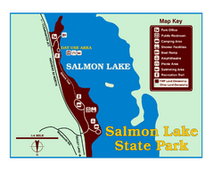
Salmon Lake State Park Map
Immediately adjacent to Montana 83, this park is an access point to one of the beautiful lakes in...
447 miles away
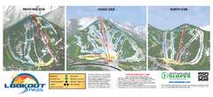
Lookout Pass Ski Trail Map
Official ski trail map of Lookout Pass ski area from the 2007-2008 season. Shows Montana, Idaho...
447 miles away
Silver Mountain Resort Ski Trail Map
Trail map from Silver Mountain Resort, which provides downhill, night, and terrain park skiing. It...
451 miles away
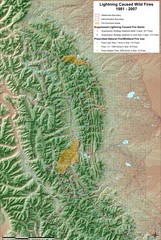
Montana Mountain Range Map
Fires on the Montana mountain range
452 miles away
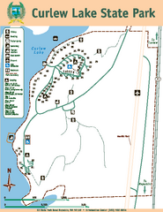
Curlew Lake State Park Map
Map of park with detail of trails and recreation zones
456 miles away
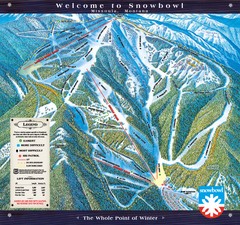
Montana Snowbowl Ski Trail Map
Trail map from Montana Snowbowl.
456 miles away
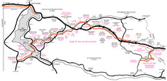
Trail of the Coeur d'Alenes Map
Shows the Trail of the Coeur d'Alenes, a 72 mile bike path that follows the Union Pacific...
457 miles away
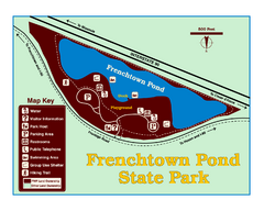
Frenchtown Pond State Park Map
Plan to bring everyone in the family to this day-use-only park for a whole afternoon of picnicking...
457 miles away
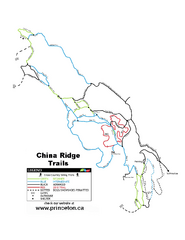
China Ridge XC Ski Trail Map
Trail map from China Ridge XC, which provides nordic skiing.
459 miles away
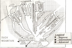
Duck Mountain Ski Trail Map
Trail map from Duck Mountain, which provides downhill and nordic skiing. This ski area has its own...
459 miles away
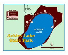
Ackley Lake State Park Map
Simple map of the State Park.
462 miles away
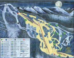
Marshall Mountain Ski Trail Map
Trail map from Marshall Mountain.
462 miles away
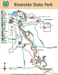
Riverside State Park Map
Map of park with detail of trails and recreation zones
462 miles away
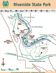
Riverside State Park Map
Map of park with detail of trails and recreation zones
462 miles away
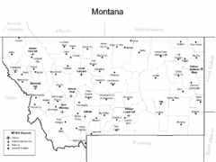
Montana Airports Map
464 miles away
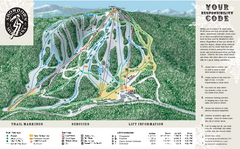
Showdown Ski Area Ski Trail Map
Trail map from Showdown Ski Area.
464 miles away
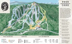
Showdown Ski Trail Map
Official ski trail map of Showdown ski area
464 miles away
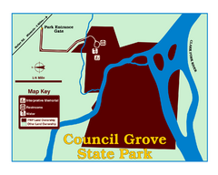
Council Grove State Park Map
Clearly marked map.
465 miles away
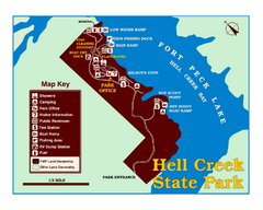
Hell Creek State Park Map
You’ll reach this campground park, 25 miles north of Jordan, through the spectacular scenery...
466 miles away

