
Mission Ridge Winter Park Ski Trail Map
Trail map from Mission Ridge Winter Park, which provides downhill skiing. This ski area has its own...
399 miles away
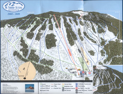
Mt Timothy Ski Trail Map
Trail map from Mt Timothy.
400 miles away
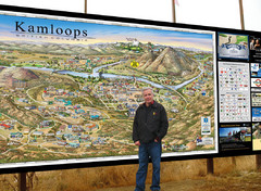
Kamloops tourist info map by Jean-Louis Rheault
Tourist map of Kamloops, British Columbia. Photo of 20 foot sign with the cartographer, Jean-Louis...
402 miles away
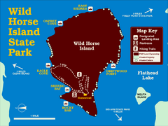
Wild Horse Island State Park Map
Boat access to this day-use-only, primitive park is regulated to protect the 2,000-acre island. The...
402 miles away
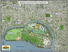
MacArthur Island Park Map
Park map of MacArthur Island Park in the Thompson River in Kamloops, BC. Shows Rivers Trail...
402 miles away
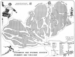
Purden Ski Village Ski Trail Map
Trail map from Purden Ski Village.
403 miles away
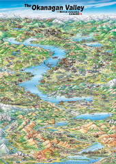
Pictorial map of the Okanagan Valley
404 miles away
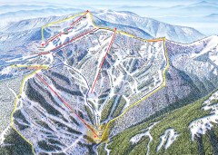
Schweitzer Ski Trail Map - Outback Bowl
Official ski trail map of back side of Schweitzer ski area from the 2007-2008 season.
405 miles away
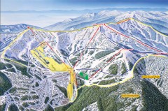
Schweitzer Ski Trail Map - Front
Official ski trail map of front side of Schweitzer ski area from the 2007-2008 season.
405 miles away
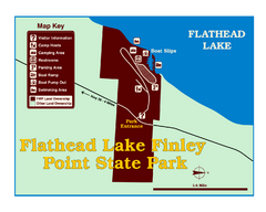
Finley Point State Park Map
This park is located in a secluded, mature pine forest near the south end of Flathead Lake. Enjoy...
405 miles away
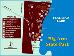
Big Arm State Park Map
Clear map and map key of Park camping grounds.
406 miles away
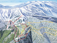
Schweitzer Mountain Trail Map
Ski trail map of Schweitzer Mountin
407 miles away
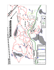
108 Mile House Ski Trail Map
Trail map from 108 Mile House.
407 miles away

Schweitzer Mountain Trail Map
Map of ski trails
407 miles away
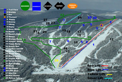
2004–07 Troll Downhill Map
Trail map from Troll. This ski area opened in 1972.
409 miles away
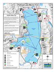
West Shore State Park Map
Glacially carved rock outcrops rise from Flathead Lake to overlooks with spectacular views of the...
410 miles away
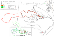
99 Mile Ski Ski Trail Map
Trail map from 99 Mile Ski Trails, which provides nordic skiing. This ski area has its own website.
410 miles away
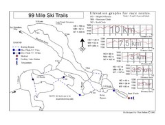
99 Mile Ski Race Routes Ski Trail Map
Trail map from 99 Mile Ski Trails, which provides nordic skiing. This ski area has its own website.
410 miles away
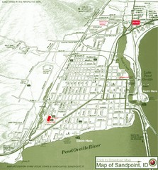
Map of Sandpoint, Idaho
Map of the entire town of Sandpoint including all streets, highways and other information.
410 miles away
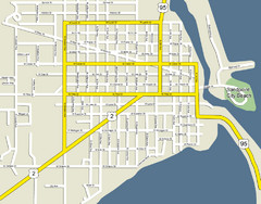
Sandpoint City Beach Map
Downtown Sandpoint Map.
410 miles away

Sandpoint City Map
Street map of downtown Sandpoint
411 miles away
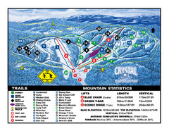
Crystal Mountain Resort Ski Trail Map
Trail map from Crystal Mountain Resort, which provides downhill skiing. This ski area has its own...
412 miles away
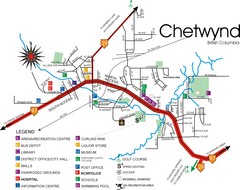
Chetwynd Town Map
412 miles away
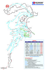
Telemark Cross Country Ski Trail Map
Trail map from Telemark Cross Country, which provides nordic skiing. This ski area has its own...
413 miles away
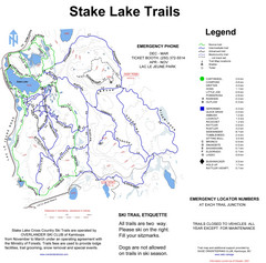
Stake Lake Nordic Ski Trail Map
Trail map from Stake Lake.
413 miles away

Phoenix Mountain Ski Trail Map
Trail map from Phoenix Mountain.
414 miles away
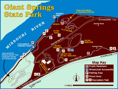
Giant Springs State Park Map
Set aside a whole afternoon to experience this scenic and historic freshwater springs site. First...
414 miles away
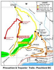
Peachland Walks Map
Guide to Pincushion and Trepanier Trails in Peachland, BC
417 miles away
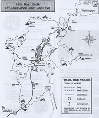
Little Pend Oreille Off Road Vehicle (ORV) Area...
Map of the Off Road Vehicle Area in Little Pend Oreille, Washington. Includes all bike trails...
417 miles away
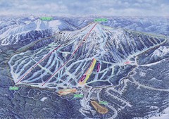
Apex Mountain Ski Resort Map
Apex Mountain Trail Map, Lifts and Elevations
420 miles away
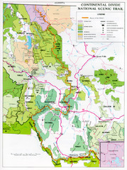
Continental Divide Scenic Trail Map
Guide to the Montana portion of the Continental Divide trail
422 miles away
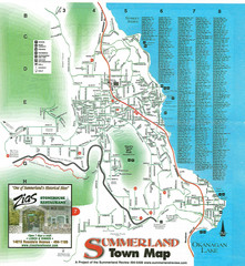
Summerland Town Map
Map of Summerland with details on outdoor-recreation locations and streets
423 miles away

Kettle Valley Trails Map
Map of Kettle Valley Trails. Includes all trails, streets, and attractions.
424 miles away

Stanley, British Columbia Map
426 miles away
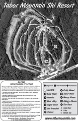
Tabor Mountain 2005–08 Tabor Downhill Map
Trail map from Tabor Mountain.
426 miles away
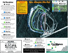
Tabor Mountain 2005–07 Tabor Summer Map
Trail map from Tabor Mountain.
426 miles away
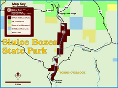
Sluice Boxes State Park Map
Remains of mines, a railroad, and historic cabins line Belt Creek as it winds through a beautiful...
427 miles away
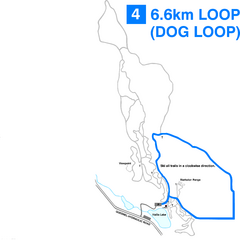
Hallis Lake Dog Loop Ski Trail Map
Trail map from Hallis Lake, which provides night and nordic skiing. This ski area has its own...
427 miles away

Hallis Lake Lighted Ski Trail Map
Trail map from Hallis Lake, which provides night and nordic skiing. This ski area has its own...
427 miles away
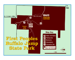
First People's Buffalo Jump State Park Map
A visitor center and interpretive trails tell the story of this prehistoric bison kill site, one of...
428 miles away

