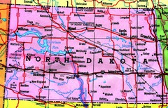
North Dakota Tourist Map
636 miles away
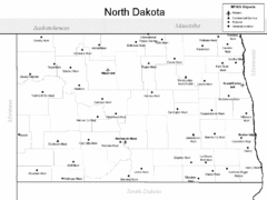
North Dakota Airport Map
636 miles away
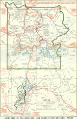
1929 Yellowstone and Grand Teton National Parks...
Map of older smaller boundaries of both national parks
636 miles away

West Coast Trail Map
636 miles away

Pierce County Washington Map, 1909 Map
637 miles away
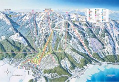
Tamarack Ski Trail Map
Official ski trail map of Tamarack ski area from the 2007-2008 season.
637 miles away
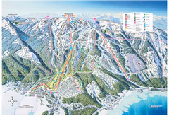
Tamarack Resort Ski Trail Map
Trail map from Tamarack Resort, which provides downhill, nordic, and terrain park skiing. It has 7...
637 miles away
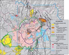
Yellowstone Geologic Map
Guide to geology, volcanic and earthquake activity and caldera outlines in Yellowstone National Park
637 miles away
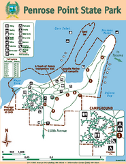
Penrose Point State Park Map
Map of park with detail of trails and recreation zones
638 miles away
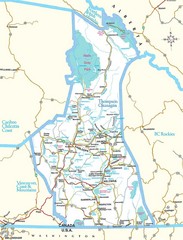
British Columbia, Canada Tourist Map
638 miles away
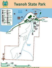
Twanoh State Park Map
Map of park with detail of trails and recreation zones
639 miles away

Oregon Trail Historical Map
640 miles away
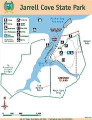
Jarrell Cove State Park Map
Map of park with detail of trails and recreation zones
641 miles away
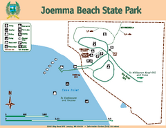
Joemma Beach State Park Map
Map of park with detail of trails and recreation zones
641 miles away
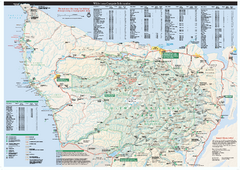
Olympic National Park wilderness campsite map
Official wilderness campsite map of Olympic National Park. Shows roads, trails, visitor...
642 miles away
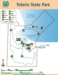
Tolmie State Park Map
Map of park with detail of trails and recreation zones
645 miles away
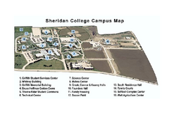
Sheridan College Campus Map
Sheridan College Campus Map. Shows all buildings.
646 miles away
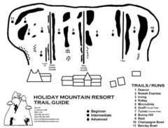
Holiday Mountain Ski Trail Map
Trail map from Holiday Mountain, which provides downhill skiing. It has 4 lifts. This ski area has...
647 miles away
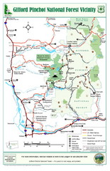
Gifford Pinchot National Forest Vicinity Map
Gifford Pinchot National Forest and surrounding areas including Mt. St Helens.
648 miles away
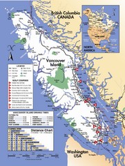
Vancouver Island Road Map
649 miles away
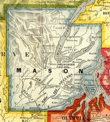
Mason County Washington, 1909 Map
650 miles away
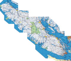
Vancouver Island Map
Detailed map of Vancouver Island, British Columbia. Shows towns, roads, and parks.
650 miles away
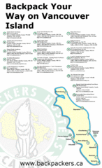
Vancouver Island Backpacking Map
Shows hostels on Vancouver Island, BC
650 miles away
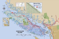
Vancouver Island Map
650 miles away
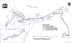
Neah Bay Bus Route Map
650 miles away
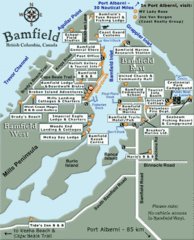
Bamfield Tourist Map
651 miles away

North Dakota Small Game Map
Guide to hunting sandhill cranes in North Dakota
652 miles away
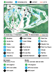
Anthony Lakes Mountain Resort Ski Trail Map
Trail map from Anthony Lakes Mountain Resort.
652 miles away

Olympia Map
Map of downtown Olympia's parking and shuttle routes.
653 miles away
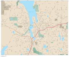
Olympia, Washington City Map
653 miles away
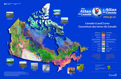
Canada Land Cover Map
Shows color-coded land cover regions of Canada. In French and English.
656 miles away
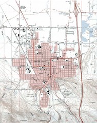
Baker City, Oregeon Tourist Map
657 miles away
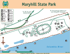
Maryhill State Park Map
Map of park with detail of trails and recreation zones
658 miles away
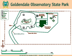
Goldendale State Park Map
Map of park with detail of trails and recreation zones
658 miles away
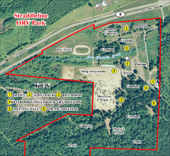
Grays Harbor County Straddleline ORV Park...
Park Map near Olympia
659 miles away
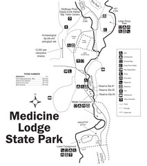
Medicine Lodge State Park Map
The Medicine Lodge site has long been known for its Indian petroglyphs and pictographs, but not...
660 miles away
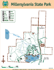
Millersylvania State Park Map
Map of park with detail of trails and recreation zones
660 miles away
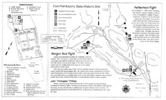
Fort Phil Kearny State Historic Site Map
Fort Phil Kearny State Historic Site is a National Historic Landmark located between Sheridan and...
661 miles away

