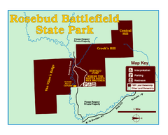
Rosebud Battlefield State Park Map
This National Historic Landmark on the rolling prairie of eastern Montana preserves the site of the...
615 miles away
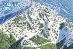
Brundage Mountain Resort Lakeview Bowl Ski Trail...
Trail map from Brundage Mountain Resort, which provides downhill and terrain park skiing. It has 5...
615 miles away
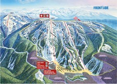
Brundage Mountain Resort Frontside Ski Trail Map
Trail map from Brundage Mountain Resort, which provides downhill and terrain park skiing. It has 5...
615 miles away
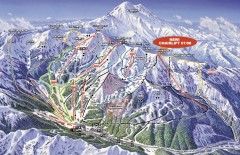
Crystal Mountain Ski Trail Map
Official ski trail map of Crystal Mountain ski area from the 2007-2008 season. 2600 acres of...
615 miles away
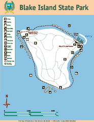
Blake Island State Park Map
Map of park with detail of trails and recreation zones
615 miles away
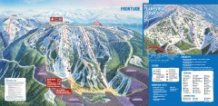
Brundage Ski Trail Map
Official ski trail map of Brundage ski area from the 2007-2008 season.
615 miles away
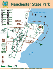
Manchester State Park Map
Map of park with detail of trails and recreation zones
615 miles away
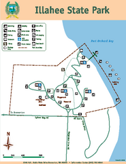
Illahee State Park Map
Map of park with detail of trails and recreation zones
616 miles away
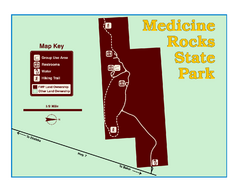
Medicine Rocks State Park Map
As the name implies, Medicine Rocks was a place of "big medicine" where Indian hunting...
616 miles away
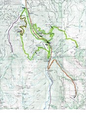
White River 50 Course Map
White River 50 Mile Trail Run
616 miles away

Tourist map of Downtown Des Moines, Washington
Tourist map of Downtown Des Moines, Washington. Shows all businesses.
616 miles away

Des Moines Washington tourist map
Tourist map of Des Moines, Washington, including Kent and SeaTac airport.
616 miles away
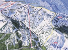
Crystal Mountain Ski Trail Map - Northway Area
Official ski trail map of the Northway area of Crystal Mountain ski area from the 2007-2008 season...
617 miles away
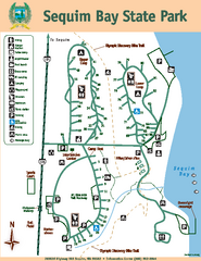
Sequim Bay State Park Map
Map of park with detail of trails and recreation zones
617 miles away
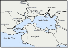
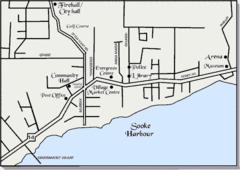
Community of Sooke, British Columbia Map
http://www.sooke.org/maps/map2.htm © Pax Media Inc.
617 miles away
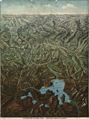
Fee’s map of Yellowstone National Park...
Charles S. Fee's map of Yellowstone in 1895.
617 miles away
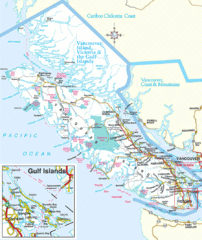
Vancouver Island Park Map
Parks and roads on Vancouver Island.
618 miles away
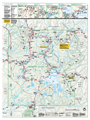
Yellowstone National Park official map
Official NPS map of Yellowstone National Park. Detail map of park with shaded relief. Established...
618 miles away
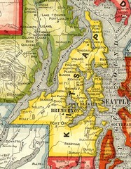
Kitsap County Washington, 1909 Map
619 miles away
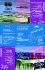
Bulkley Valley Ski Trail Map
Trail map from Bulkley Valley, which provides night and nordic skiing. This ski area has its own...
619 miles away
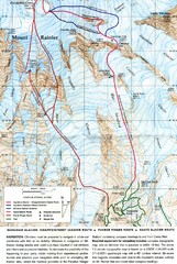
Mount Rainier Topo Map
Map of Mount Rainier Ascent. We ascended the "Muir Snowfield" and then went up the "...
619 miles away
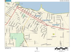
Port Angeles City Map
620 miles away
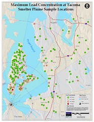
Tacoma Lead Concentration Map
A map of maximum lead concentrations near Tacoma.
621 miles away
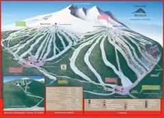
Ski Smithers Ski Trail Map
Trail map from Ski Smithers, which provides downhill and terrain park skiing. It has 3 lifts...
621 miles away
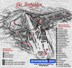
Pre-1999 Forbidden Plateau Map #2
Trail map from Forbidden Plateau.
621 miles away

Pacific Northwest Inside Passage Map
Amazing Pacific Northwest Inside Passage Legendary map.
621 miles away
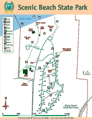
Scenic Beach State Park Map
Map of park with detail of trails and recreation zones
622 miles away
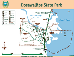
Dosewallips State Park Map
Map of park with detail of trails and recreation zones
622 miles away
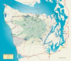
Olympic National Park and Peninsula Map
Guide to the Olympic National Park and surrounding region
622 miles away
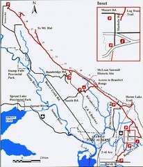
Log Train Trail Map
Trail map of the Log Train Trail near Port Alberni, Vancouver Island
622 miles away
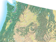
Northwest USA topo Map
622 miles away
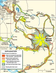
Mount Rainier Potential Lava Flow, Mud Flow and...
Hazard zones for lahars, lava flows, and pyroclastic flows from Mount Rainier. The map shows areas...
623 miles away
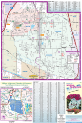
Milton and Edgewood tourist map
Tourist map of Milton and Edgewood, Washington. Shows all businesses.
624 miles away
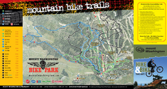
Mt. Washington Resort Summer Mountain Biking Ski...
Trail map from Mt. Washington Resort, which provides downhill and nordic skiing.
624 miles away
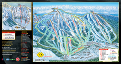
Mt. Washington Resort Ski Trail Map
Trail map from Mt. Washington Resort, which provides downhill and nordic skiing.
624 miles away
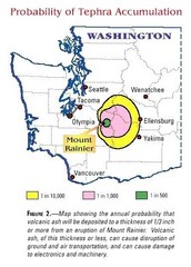
Mount Rainier Probability of Tephra (Ash...
624 miles away
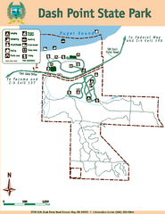
Dash Point State Park Map
Map of park with detail of trails and recreation zones
624 miles away
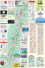
Milton tourist map
Tourist map of Milton, Washington. Shows all businesses.
624 miles away
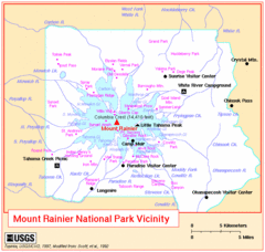
Mount Rainier National Park Vicinity Map
625 miles away

