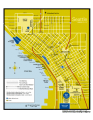
Seattle Shopping map for Lucky Magazine
Illustrated map of Seattle shopping locations illustrated by MapsIllustrated for Lucky Magazine(NYC)
607 miles away
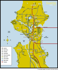
Seattle, Washington City Map
607 miles away
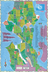
Seattle Neighborhood Map
607 miles away
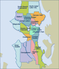
Seattle Neighborhood Map
607 miles away
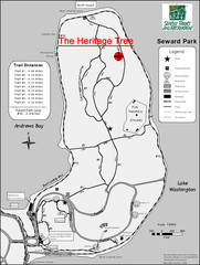
Seward Park Trails Map
Map of the trails in Seward Park, a 300-acre park on a peninsula in the south Seattle, WA area.
607 miles away
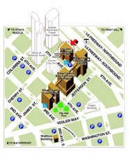
Municipal Court of Seattle Location Map
607 miles away
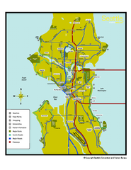
Neighborhoods of Seattle, Washington Map
Tourist map of Seattle, Washington, showing neighborhoods, parks, and scenic drives.
607 miles away
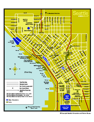
Downtown Seattle, Washington Map
Tourist map of downtown Seattle, Washington. Shows locations of Space Needle, Experience Music...
607 miles away
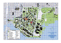
University of Washington - Seattle Campus Map
Campus Map of the University of Washington - Seattle Campus. All buildings shown.
607 miles away
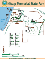
Kitsap Memorial State Park Map
Map of island with detail of trails and recreation zones
607 miles away
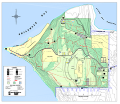
Discovery Park trail map
Trail and facility map of Discovery Park. Discovery Park is a 534 acre natural area park operated...
607 miles away
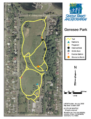
Genesee Park Trail Map
Trail map of Genesee Park in Mt Baker, Seattle, WA
607 miles away
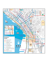
Downtown Seattle Bikeways Map
Map of bike paths, bike lanes, public transportation and points of interest in Seattle, Washington.
607 miles away

Magnolia tourist map
Tourist map of Magnolia, Washington. Shows all businesses.
607 miles away
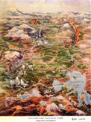
Detail of Yellowstone National Park, 1910 Map
Detail of Yellowstone National Park showing the Oregon Short Line Railroad, 1910
607 miles away
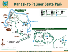
Kanaskat-Palmer State Park Map
Map of park with detail of trails and recreation zones
608 miles away
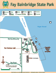
Fay Bainbridge State Park Map
Map of park with detail of trails and recreation zones
608 miles away
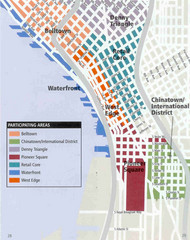
Seattle Neighborhoods Map
Map outlines several neighborhoods in Seattle, Wahsington
608 miles away
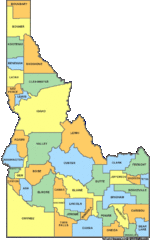
Idaho Counties Map
608 miles away
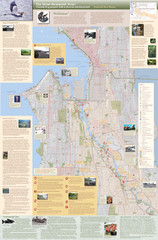
Duwamish River Community Map
This is a printed map, 32" X 40", created for the Duwamish River Cleanup Coalition in...
609 miles away

3-D Panoramic Map of the Puget Sound
A 3D panoramic map of a view from a private residence over Puget Sound toward the Olympic mountains.
610 miles away
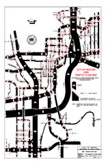
Renton WA Traffic Flow Map
City of Renton, WA traffic flow map
610 miles away
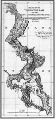
1871 Yellowstone River and Lake Map
Historic guide to the Yellowstone River and Lake in Yellostone National Park
611 miles away
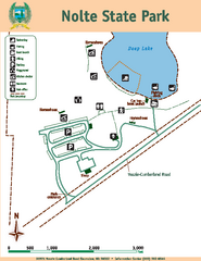
Nolte State Park Map
Map of park with detail of trails and recreation zones
611 miles away
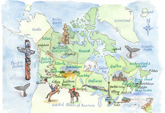
Canadian Tourist Illustrated Map
611 miles away
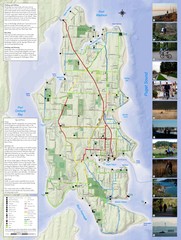
Bainbridge Island Hiking and Biking Map
Shows trails and bike routes on Bainbridge Island, Washington in the Puget Sound. Also shows...
611 miles away
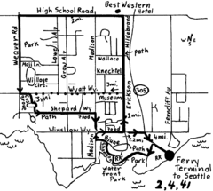
Bainbridge Walking Map
From Seattle Ferry Terminal, take the Bainbridge Ferry to Winslow. The walk is 4 miles with...
612 miles away
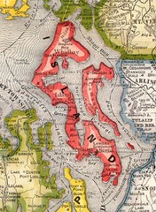
Island County Washington, 1909 Map
612 miles away
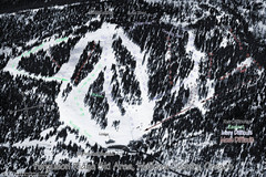
Ferguson Ridge Ski Trail Map
Trail map from Ferguson Ridge.
613 miles away
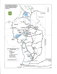
Ashton/Island Park Recreation Sites Map
613 miles away
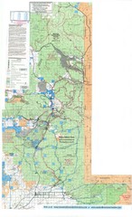
Island Park Idaho Area Snowmobile Map
613 miles away
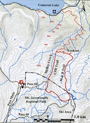
Mt. Arrowsmith Park CPR Historic Trail Map
Trail map of Mt. Arrowsmith Regional Park CPR Historic Trail, Vancouver Island
613 miles away
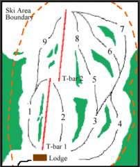
Mount Arrowsmith (Upper) Ski Trail Map
Trail map from Mount Arrowsmith (Upper).
614 miles away
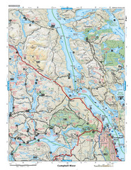
Campbell River Area Map
Vancouver Island, Victoria & Gulf Islands
614 miles away
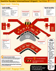
SeaTac Airport Map
614 miles away
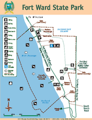
Fort Ward State Park Map
Map of park with detail of trails and recreation zones
614 miles away
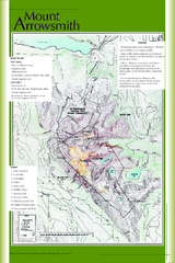
Mount Arrowsmith Climbing Route Map
Climbing routes on Mount Arrowsmith, Vancouver Island
615 miles away
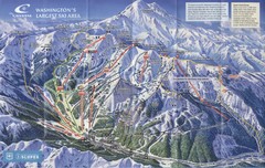
Crystal Mountain Resort Ski Trail Map
Trail map from Crystal Mountain Resort, which provides downhill skiing. It has 10 lifts servicing...
615 miles away
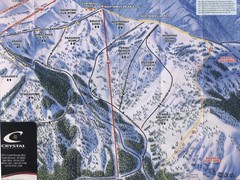
Crystal Mountain Resort Northway Inset Ski Trail...
Trail map from Crystal Mountain Resort, which provides downhill skiing. It has 10 lifts servicing...
615 miles away

