
South Whidbey tourist map
Tourist map of South Whidbey, Washington. Shows all businesses.
591 miles away

Whidbey Island tourist map
Tourist map of Whidbey Island and Coupeville, Washington. Shows all businesses.
592 miles away
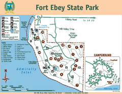
Fort Ebey State Park Map
Map of park with detail of trails and recreation zones
592 miles away
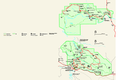
Theodore Roosevelt National Park Official Park Map
Official NPS map of Theodore Roosevelt National Park in North Dakota. Map shows both North and...
592 miles away
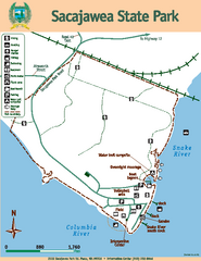
Sacajawea State Park Map
Map of park with detail of trails and recreation zones
592 miles away

South Whidbey Island tourist map
Tourist map of South Whidbey Island, Washington. Shows all businesses.
592 miles away
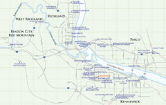
Kennewick Hotel Map
592 miles away
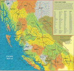
First Nations Peoples of British Columbia Map
"The boundaries between territories are deliberately shown as blending into one another, in...
592 miles away

Woodinville tourist map
Tourist map of Woodinville, Washington. Shows all businesses.
593 miles away
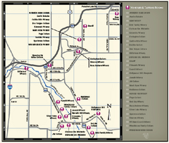
Woodinville Wine Country Map
Map of wineries in the Woodinville, WA area
593 miles away
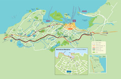
Nanaimo City Map
Map of Nanaimo, BC. Shows trails and parks.
593 miles away

City of Kennewick Map
Simple road map of Kennewick.
593 miles away
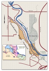
JackRabbit Ridge Natural Area Map
Shows urban wildlands
593 miles away
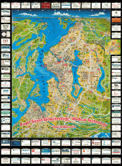
Puget Sound biotech map
Map of Puget Sound area biotechnology companies.
594 miles away
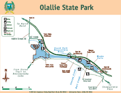
Olallie State Park Map
Map of park with detail of trails and recreation zones
594 miles away
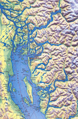
Northern Gulf Map
Map of Northern Gulf Islands
594 miles away

Canada's Import by Country (2003) Map
Cartograms are a great way to present statistical information. The size of each country is re-sized...
594 miles away
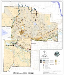
Snoqualmie Trail Map
Shows both soft surface and paved trails for biking, running/hiking/wailking, and horseback riding
595 miles away

The Town of Sidney - Parks Map
595 miles away
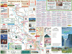
Snoqualmie Valley tourist map
Tourist map of the Snoqualmie Valley, Washington. Shows all businesses.
595 miles away
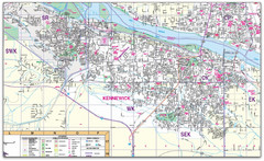
Kennewick, Washington City Map
595 miles away
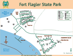
Fort Flagler State Park Map
Map of park with detail of trails and recreation zones
596 miles away
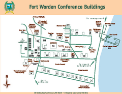
Fort Worden Conference Buildings Map
Map of conference buildings in Fort Worden State Park
596 miles away
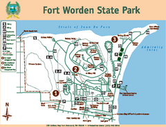
Fort Worden State Park Map
Map of park with detail of trails and recreation zones
596 miles away
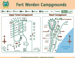
Fort Worden Campgrounds Map
Map of park campgrounds
596 miles away

Canada Imports Cartogram 2003 Map
Cartograms are a great way to visualize statistics! Here the world's countries are re-sized...
596 miles away

Shadowrun Redmond Map
596 miles away
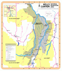
Hells Canyon National Recreation Area Map
Official Forest Service map of the Hells Canyon National Recreation Area. Shows roads, trails...
596 miles away
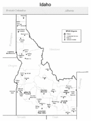
Idaho Airports Map
596 miles away
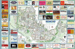
Redmond tourist map
Tourist map of Redmond, Washington. Shows all businesses.
596 miles away
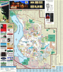
Sammamish tourist map
Tourist map of Sammamish, Washington. Shows all businesses.
597 miles away
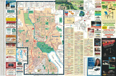
Redmond Area tourist map
Tourist map of the Redmond Area on Washington. Shows all businesses.
597 miles away
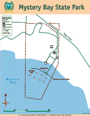
Mystery Bay State Park Map
Map of park with detail of trails and recreation zones
597 miles away
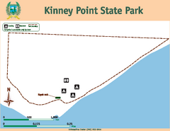
Kinney Point State Park Map
Map of island with detail of trails and recreation zones
597 miles away
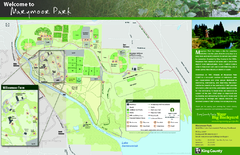
Marymoor Park Map
597 miles away

Greater Kirkland tourist map
Tourist map of Greater Kirkland, Washington. Shows all businesses.
597 miles away
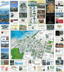
Downtown Edmonds tourist map
Tourist map of Downtown Edmonds, Washington. Shows all businesses.
597 miles away
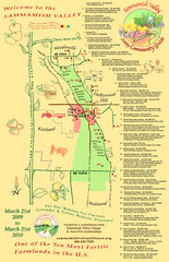
Sammamish Valley Guide Map
597 miles away
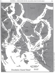
Desolation Sound Detail Map
Shows general geography of Desolation Sound from Malaspina Inlet to Bute Inlet. Shows Cortes Bay...
597 miles away
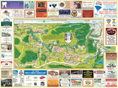
Snoqualmie tourist map
Snoqualmie, Washington tourist map. Shows all businesses.
597 miles away

