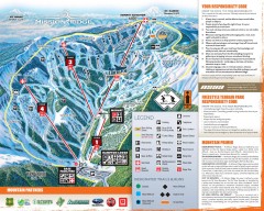
Mission Ridge Ski Trail Map
Official ski trail map of Mission Ridge ski area from the 2007-2008 season.
565 miles away
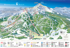
Moonlight Basin Ski Trail Map
Trail map from Moonlight Basin, which provides terrain park skiing. It has 8 lifts servicing 92...
567 miles away
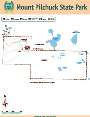
Mount Pilchuck State Park Map
Map of park with detail of trails and recreation zones
567 miles away
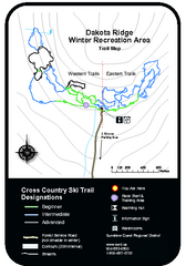
Dakota Ridge Ski Trail Map
Trail map from Dakota Ridge, which provides nordic skiing. This ski area has its own website.
568 miles away
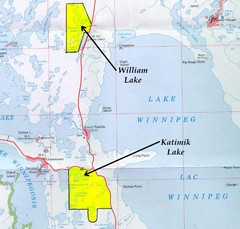
Lake Winnipeg Map
Lake Winnipeg and the land surrounding it.
568 miles away
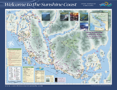
Lower Sunshine Coast Recreation Map
Recreation map of the Lower Sunshine Coast in BC. Shows hiking trails, mountain biking trails...
568 miles away

Big Sky Resort Lone Peak Detail Ski Trail Map
Trail map from Big Sky Resort, which provides terrain park skiing. It has 21 lifts servicing 150...
569 miles away
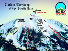
Big Sky Resort Dakota Territory Detail Ski Trail...
Trail map from Big Sky Resort, which provides terrain park skiing. It has 21 lifts servicing 150...
569 miles away
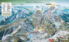
Big Sky Ski Resort Trail Map (Eastern exposure...
Big Sky ski resort trail map (Eastern exposure) for the 2006-2007 season
569 miles away

Big Sky Ski Resort Trail Map (Southern exposure...
Big Sky ski resort trail map (Southern exposure) for the 2006-2007 season. Also check out the...
569 miles away
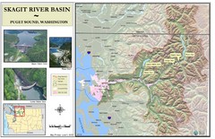
Skagit River Map
Skagit River Basin Overview Map (Pink shading is the FEMA 100 Year Flood)
570 miles away
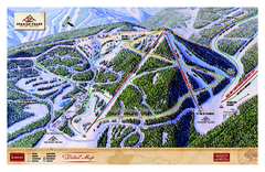
Spanish Peaks Resort Ski Trail Map
Trail map from Spanish Peaks Resort. It has 2 lifts servicing 12 runs; the longest run is 2574...
570 miles away
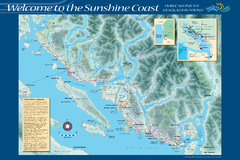
Sunshine Coast Recreation Map
Recreation map of the Sunshine Coast in BC. Shows trails for hiking (in yellow) and mountain...
571 miles away
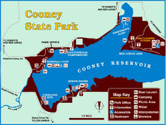
Cooney State Park Map
Simple and clear State Park Map.
571 miles away
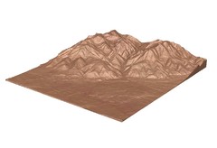
Emigrant Montana towards Baldy and Emigrant Peak...
Emigrant, MT towards Baldy and Emigrant Peak
571 miles away
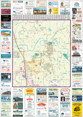
Arlington tourist map
Tourist map of Arlington, Washington. Shows all businesses.
571 miles away
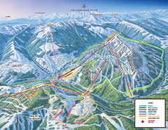
Yellowstone Club Ski Trail Map
Trail map from Yellowstone Club, which provides terrain park skiing. It has 15 lifts servicing 60...
572 miles away
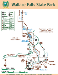
Wallace Falls State Park Map
Map of park with detail of trails and recreation zones
572 miles away
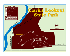
Clark's Lookatout State Park Map
Clearly marked State Park Map.
572 miles away
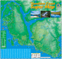
Sunshine Coast Super Map
Sunshine Coast Super Map Poster. 44" X 42". Also Available in folded version.
572 miles away
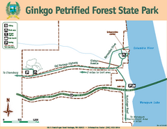
Ginkgo Petrified Forest State Park Map
Map of park with detail of trails and recreation zones
573 miles away
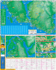
Folded Sunshine Coast Super Map
Folded Sunshine Coast Super Map
573 miles away
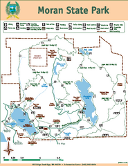
Moran State Park Map
Map of park with detail of trails and recreation zones
573 miles away

Arlington and Smokey Point tourist map
Tourist map of Arlington and Smokey Point, Washington. Shows all businesses.
574 miles away
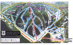
Bluewood Ski Trail Map
574 miles away
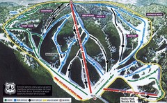
Bluewood Ski Trail Map
Trail map from Bluewood, which provides downhill, nordic, and terrain park skiing. It has 3 lifts...
574 miles away
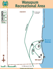
Wanapum Recreational Area Map
Map of park with detail of trails and recreation zones
575 miles away
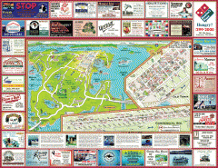
Anacortes tourist map
Tourist map of Anacortes, Washington. Shows recreation and points of interest.
575 miles away
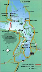
British Columbia, Canada Tourist Map
575 miles away
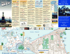
Fidalgo Island tourist map
Tourist map of Fidalgo Island in Anacortes, Washington. Shows recreation and points of interest.
576 miles away
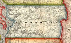
Snohomish County Washington, 1909 Map
576 miles away
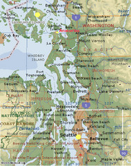
Washington State - West Coast Map
Washington State - West Coast Map
576 miles away
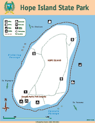
Hope Island State Park Map
Map of park with detail of trails and recreation zones
576 miles away
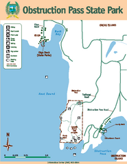
Obstruction Pass State Park Map
Map of park with detail of trails and recreation zones
576 miles away

Centennial Trail Map
Centennial Trail has 23 miles completed (Snohomish to Bryant) with more in progress.
577 miles away

Centennial Trail Map
578 miles away
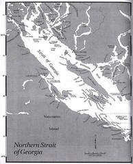
Northern Strait of Georgia Map
578 miles away
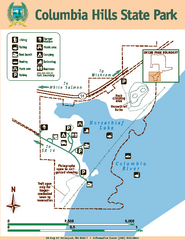
Columbia Hills State Park Map
Map of park with detail of trails and recreation zones
578 miles away
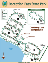
Deception Pass State Park Map
Map of park with detail of trails and recreation zones
578 miles away

