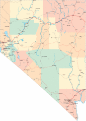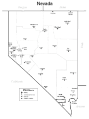
Nevada Airports Map
39 miles away

Bodie State Park NE Map
Map of park with detail of trails and recreation zones
109 miles away
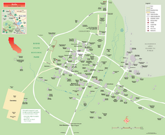
Bodie State Park Map
Map of park with detail of trails and recreation zones
110 miles away

Bodie State Park NW Map
Map of park with detail of trails and recreation zones
110 miles away

Bodie State Park SE Map
Map of park with detail of trails and recreation zones
110 miles away

Bodie State Park SW Map
Map of park with detail of trails and recreation zones
110 miles away
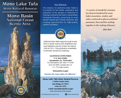
Mono Lake Tufa State Natural Reserve Map
Map of reserve with detail of trails and recreation zones
114 miles away
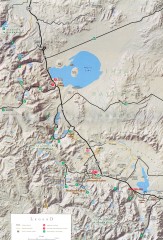
Eastern Sierra Trailhead Map - Lee Vining and...
Shows ranger stations and major trailheads in the eastern Sierra Nevada in the Mono Lake and...
119 miles away

Nevada Map
121 miles away
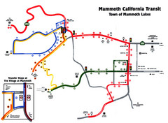
Mammoth Transit Map
Map of Mammoth transit system
121 miles away

Mammoth Mountain Downhill Skiing Trails Map
Downhill skiing trails on Mammoth Mountain, near Mammoth Lakes, California. Shows trails and their...
123 miles away
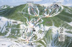
June Mountain Ski Trail Map
Official ski trail map of June Mountain ski area from the 2007-2008 season.
123 miles away
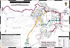
Mammoth Town Map
Town of Mammoth Lakes with shuttle lines included
123 miles away
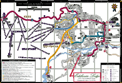
Mammoth Town Map
Map of Mammoth, including shuttle lines
123 miles away

California Agricultural Region Map
123 miles away
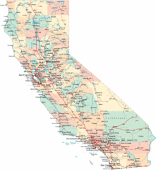
California Road Map
124 miles away
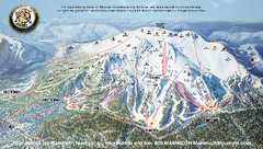
Mammoth Mountain Ski Trail map 2005
Official ski trail map of Mammoth Mountain ski area from the 2005-2006 season.
124 miles away

Mammoth Mountain Ski Trail Map
Trail map from Mammoth Mountain, which provides downhill, nordic, and terrain park skiing. It has...
124 miles away
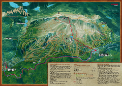
Mammoth Mountain Bike Park Map
Shows all trails at the Mammoth Mountain Bike Park.
125 miles away
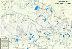
Fish Creek Area Anglers' Map
Hand-drawn fishing map of lakes, peaks, and trails in the Fish Creek Area of the John Muir...
126 miles away
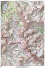
North Palisade South Lake Route Topo Map
Topo map of route from South Lake to North Palisade, 14,242 ft.
127 miles away
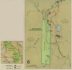
Devil's Postpile National Monument Map
128 miles away
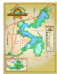
Lahontan State Recreation Area Map
Overview map of Lahontan State Recreation Area. Shows Lahontan Reservoir formed by Lahontan Dam...
129 miles away
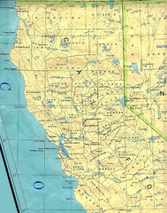
Northern California Map
Map of Northern California including cities, counties, and rivers
129 miles away
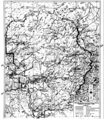
1931 Yosemite National Park Map
Yosemite National Park Map with trails and elevations
140 miles away
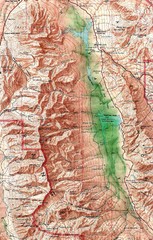
Death Valley National Park Map
141 miles away

Yosemite Valley Park Map
Guide Map of the Yosemite National Forest
142 miles away
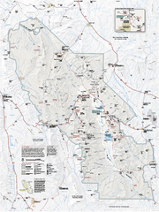
Death Valley National Park map
Official NPS map of Death Valley National Park. Shows all roads (paved and unpaved), 4 wheel drive...
142 miles away
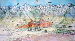
Lone Pine Map
Panorama tourist map of town of Lone Pine, California with surrounding area including the Alabama...
143 miles away

Sierra High Route Map
Guide to the Sierra High Route, one of the most challenging treks in the Sierras
144 miles away
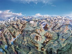
Yosemite oblique Map
Oblique Panorama map of Yosemite National Park
145 miles away
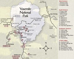
Yosemite National Park Map
145 miles away
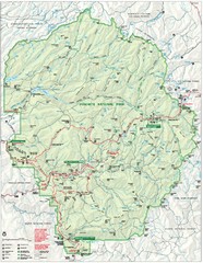
Yosemite National Park Map
Detailed Park Map of Yosemite National Park. Includes all camping areas, trails, roads...
145 miles away
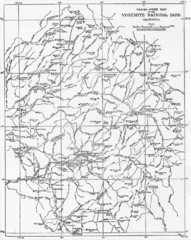
1914 Yosemite National Park Map
145 miles away
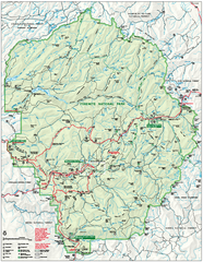
Yosemite National Park official map
Official park map showing trails, roads, campgrounds, ranger stations, parking, picnic areas, and...
145 miles away
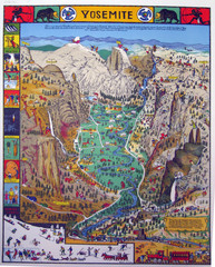
Yosemite National Park Visitor Map
Colorful Visitor Map of Yosemite National Park. Illustrates location of hiking trails, camp...
146 miles away
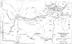
Yosemite Valley Automobile Guide Map 1963
Yosemite Valley and Vicinity with Elevations
146 miles away
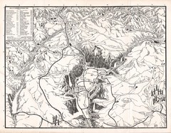
Yosemite National Park Map
Map of Yosemite National Park, 1948
147 miles away

