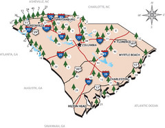
South Carolina State Park Map
Shows state parks in South Carolina
0 miles away
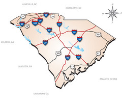
South Carolina Interstate Map
Shows Interstate highways in South Carolina
0 miles away
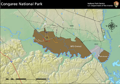
Congaree National Park Official Park Map
Official NPS map of Congaree National Park. Map shows all areas. Congaree National Park is open...
14 miles away
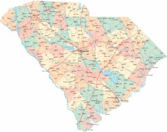
South Carolina Road Map
South Carolina state road map
16 miles away

South Carolina Counties Map
20 miles away
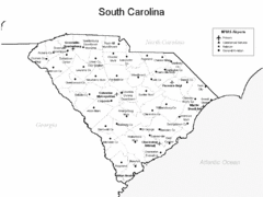
South Carolina Airports Map
20 miles away
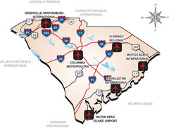
South Carolinas Airports Map
20 miles away
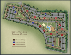
woodlands of Columbia map
23 miles away
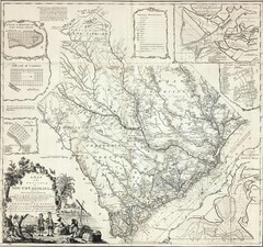
James Cook's South Carolina Map
English cartographer and explorer James Cook's 1773 map of English colony of South Carolina...
24 miles away
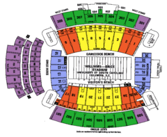
Williams Brice seating map
24 miles away
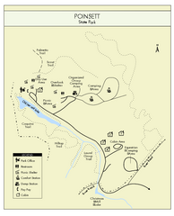
Poinsett State Park Map
Map and legend for this wonderful state park, marking bathrooms, camping grounds, roads, and more.
25 miles away
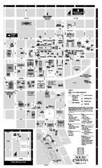
University of South Carolina - Columbia Map
Campus map of The University of South Carolina at Columbia. All area's shown.
26 miles away
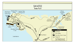
Santee State Park Map
Clear state park map.
26 miles away
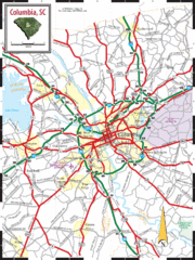
Columbia, South Carolina City Map
26 miles away
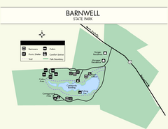
Barnwell State Park Map
Simple map of this state park.
30 miles away
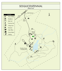
Sesquicentennial State Park Map
Map of this beautiful state park.
32 miles away
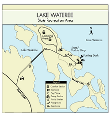
Lake Wateree State Park Map
Clear map of State Park.
32 miles away
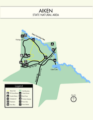
Aiken State Park Map
Small and simple state park map.
33 miles away
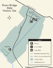
Rivers Bridge State Park Map
Nice and clear map of this history state park.
41 miles away
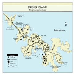
Dreher Island State Park Map
Clearly labeled state park map.
42 miles away
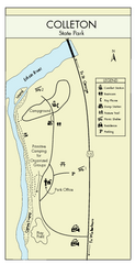
Colleton State Park Map
Detailed map and map legend of this beautiful state park.
43 miles away
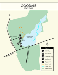
Goodale State Park Map
Easy to read state park map.
51 miles away
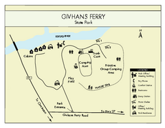
Givhans Ferry State Park Map
Map marked with shelter, phone, restrooms, picnic and more.
52 miles away
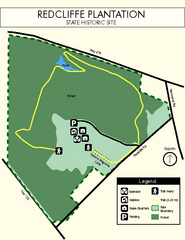
Redcliffe Plantation State Park Map
Clear map of this wonderful state park with a beautiful natural setting.
56 miles away
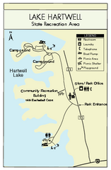
Lake Hartwell State Park Map
Clear state park map.
56 miles away
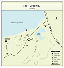
Lake Warren State Park Map
Clearly marked state park map.
57 miles away
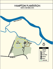
Hampton Plantation State Park Map
Clear and easy to read map.
57 miles away
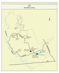
Lee State Park Map
Simple map of this state park.
58 miles away
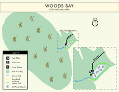
Woods Bay State Park Map
Clear map of this small yet beautiful state park.
58 miles away

Summerville, South Carolina Tourist Map
61 miles away

MCG Health System--Medical College of Georgia...
Color-coded map of all buildings on the Medical College of Georgia associated with the MCG Health...
62 miles away
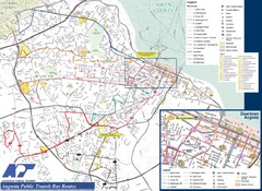
Augusta Public Transit Routes Map
Transit Route Map of the town of Augusta. Includes all streets, some important buildings, and a...
62 miles away
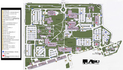
Augusta State University Map
Campus map
64 miles away
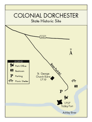
Colonial Dorchester State Park Map
Office, parking, picnic sites and more are all clearly marked on this state park site.
64 miles away
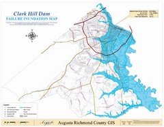
Richmond County Failure Inundation Map
Map of the flood water failure inundation of Augusta Richmond county, Georgia. Includes detailed...
69 miles away
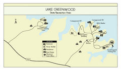
Lake Greenwood State Park Map
Clearly marked state park map on a beautiful waterfront.
71 miles away

Charleston, South Carolina City Map
73 miles away
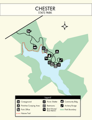
Chester State Park Map
Simple and clear state park map.
74 miles away
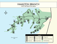
Hamilton Branch State Park Map
Simple state park map.
74 miles away
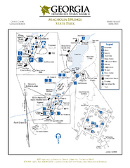
Magnolia Springs State Park Map
Map of park with detail of trails and recreation zones
79 miles away


 Explore Maps
 Map Directory
