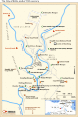
19th Century Bitlis Map
Historical map of Bitlis at the conclusion of the 19th century
719 miles away
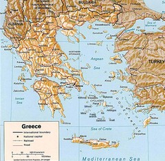
Greece Map
Map of Greece and surrounding countries showing cities, roads, railroads and borders.
719 miles away
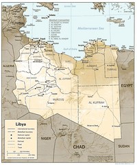
Libya Political Map
Guide to the African country of Libya
730 miles away
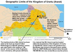
Urartu And Mount Ararat Map
Urartu Map showing Mt. Suleiman is not near Urartu.
731 miles away
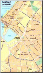
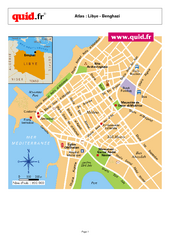
Benghazi City Map
Clear city map of this small Libyan city.
739 miles away

Benghazi Map
741 miles away
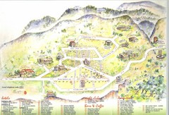
Delphi Tourist Map
Tourist map of Delphi (Delfi), Greece. Shows amenities, nightclubs, bars, cafes, and hotels...
753 miles away
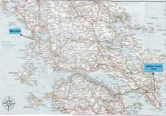
Greece Road Map
Map of Greece with the Aktion and Eleftherios Venizelos Airports marked.
760 miles away
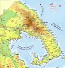
Pelion Tourist Map
Tourist map of Pelion region of Greece including city of Volos. Shows points of interest. Scanned.
765 miles away
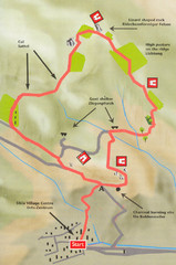
Sikia Circular Walk Map
Map of a circular walk from Sikia. 4 hours. From agrotravel.gr: "This walk takes one on a...
768 miles away
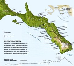
Mount Athos Monasteries Map
770 miles away
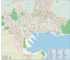
Volos Tourist Map
Tourist map of Volos, Greece. Shows points of interest and some conference info.
773 miles away
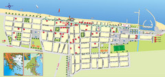
Paralia Tourist Map
Tourist map of Paralia, Greece. Shows hotel locations. Insets show location in Greece.
776 miles away
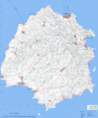
Thassos Topo Map
Topographical map of island of Thassos, Greece. Shows roads and trails.
776 miles away
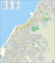
Patra Tourist Map
Tourist map of central Patra, Greece. Shows points of interest.
776 miles away
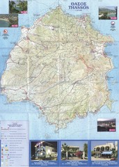
Thassos - Hertz Map
777 miles away
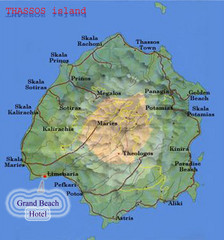
Thassos Island, Greece Tourist Map
779 miles away
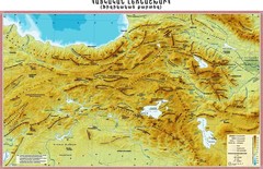
Armenian Highland Map
Map of the Armenian Haghland
780 miles away
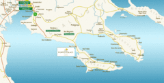
Chalkidiki Map
Map of Chalkidiki, Greece region showing 3 peninsulas.
784 miles away
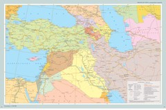
Near East Map
Map of the Near East and the Caucasus
785 miles away
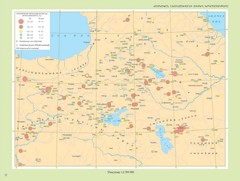
Armenian Highland Major Earthquakes Map
Map of the Major Earthquakes on the Armenian Highland
787 miles away
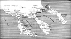
Monastic estates in Chalcidice in 15th and 16...
Monastic estates in Chalcidice pertaining to Mount Athos from History of Macedonia 1354-1833.
787 miles away

Kavos Guide Map
789 miles away
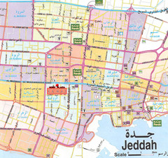
Jeddah city Map
795 miles away
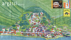
Argassi Tourist Map
Tourist map of Argassi, Zakynthos Island, Greece. Shows all businesses. Scanned.
796 miles away
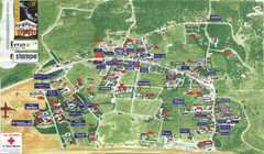
Kalamaki Zakynthos Tourist Map
Tourist map of town of Kalamaki on Zakynthos Island. Scanned.
797 miles away
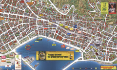
Zakynthos Town Map
Detailed tourist map of Zakynthos Town, Zakynthos Island, Greece. Shows businesses.
798 miles away
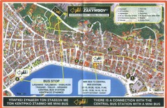
Zakynthos City Tourist Map
Tourist map of Zakynthos city on Zakynthos Island. Shows major points of interest and bus routes...
798 miles away
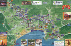
Tsilivi Tourist Map
Tourist map of town of Tsilivi, Zakynthos Island, Greece. Shows businesses. Scanned
800 miles away
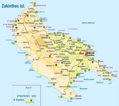
Zakinthos Tourist Map
Tourist map of island of Zakinthos, Greece. Shows symbols for tourist activities.
802 miles away
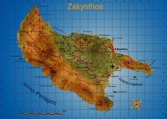
Zakynthos Tourist Map
Tourist map of island of Zakynthos, Greece. Shows points of interest. Scanned.
803 miles away
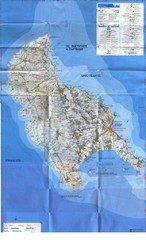
Zakynthos Island Map
Detailed map of Zakynthos Island. Scanned
803 miles away
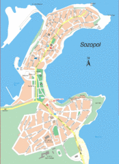
Sozopol Map
805 miles away
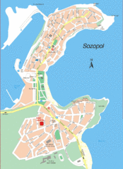
Sozopol Map
805 miles away
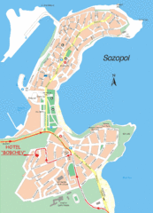
Sozopol Map
805 miles away
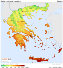
Solar Radiation Map of Greece
Solar Radiation Map Based on high resolution Solar Radiation Database: SolarGIS. On the Solar Map...
806 miles away
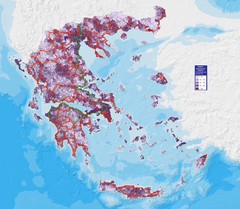
Greece Population Density Map
Shows population density of Greece. Inhabitants per square kilometer.
806 miles away
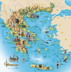
Greece Tourist Map
Stylized tourist map of Greece showing ancient points of interest. In Russian.
806 miles away

