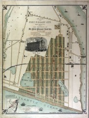
Antique map of Point Pleasant from 1880
Antique map of Point Pleasant, New Jersey from c. 1880.
89 miles away

Ski Big Bear Ski Trail Map
Trail map from Ski Big Bear.
89 miles away
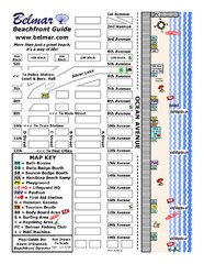
Belmar Tourist Map
Tourist map of Belmar, New Jersey beachfront. Shows beach services.
89 miles away
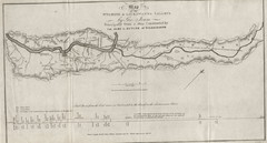
Wyoming and Lackawanna Valleys Map
Railbed from the coal mine at Carbondale to the canal on the Lackawaxen River. Historical map.
89 miles away
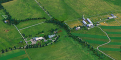
Eisenhower Farm National Historic Site Map
Visitor map of former US president Dwight D. Eisenhower's farm, a National Historic Site. 1.5...
89 miles away

Hidden Valley Ski Trail Map
Trail map from Hidden Valley.
89 miles away

Colonel Denning State Park map
Detailed map of Colonel Dening State Park in Pennsylvania
90 miles away
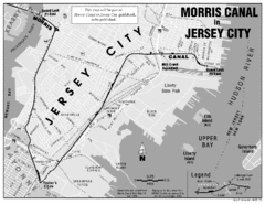
Jersey City Map
91 miles away
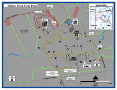
Killens Pond State Park Map
Map of Delaware State Park.
91 miles away
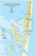
Island Beach State Park Canoe and Kayak map
Canoe and kayak guide to the Sedge islands in Island Beach State Park near Barnegat Bay, NJ. The...
91 miles away
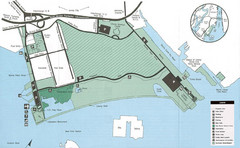
Liberty State Park Map
Map of Liberty State Park, New Jersey on the New York Harbor and next to Ellis Island. Shows...
91 miles away

R. B. Winter State Park map
Recreation map for R. B. Winter State Park in Pennsylvania
92 miles away
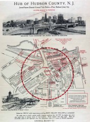
Antique map of Jersey City from 1925
Antique map of Jersey City, New Jersey from 1925.
92 miles away
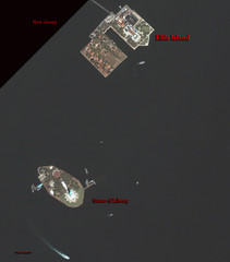
Ellis Island and Statue of Liberty Map
Aerial map of Ellis Island and the Statue of Liberty
92 miles away
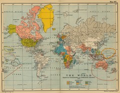
Colonial Posessions and Commercial Highways 1910...
Historical world map (1910) of various colonization and highway expansion
92 miles away
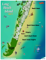
Beach Haven, New Jersey Map
92 miles away
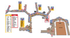
Baltimore Washington International Airport Map
92 miles away
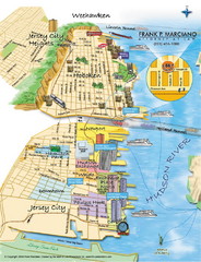
Jersey City, New Jersey City Map
Sketch of Jersey City and Hoboken, New Jersey
92 miles away

Harvey Cedars, New Jersey Map
92 miles away
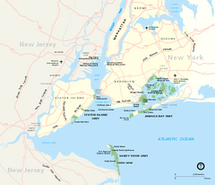
Gateway National Recreation Area Map
Park map of lands in the NPS Gateway National Recreation Area in New York and New Jersey. Shows...
92 miles away
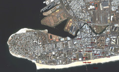
Coney Island Map
Aerial photo Coney Island map
92 miles away
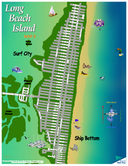
Ship Bottom, New Jersey Map
92 miles away
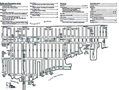
Ship Bottom, NJ Map
92 miles away
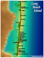
Long Beach Island, New Jersey Map
93 miles away
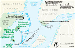
Statue of Liberty National Monument Map
Official NPS map of Statue of Liberty National Monument. Shows Statue of Liberty, Ellis Island, and...
93 miles away
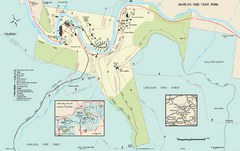
Worlds End State Park map
Detailed recreation map for Worlds End State Park in Pennsylvania
93 miles away
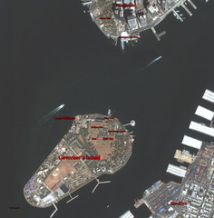
Governor's Island Map
Aerial photo view map of Governor's Island, New York
93 miles away
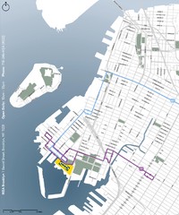
IKEA Brooklyn Map
Location map and map of bus routes and access streets to IKEA in Brooklyn, NY.
93 miles away
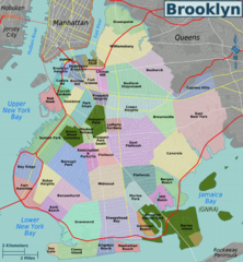
Brooklyn, Neighborhoods Map
93 miles away

Casinos in Atlantic City, New Jersey Map
Tourist map of Atlantic City, New Jersey, showing the locations of casinos, as well as shopping and...
93 miles away
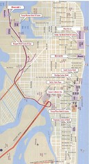
Atlantic City Tourist Map
93 miles away
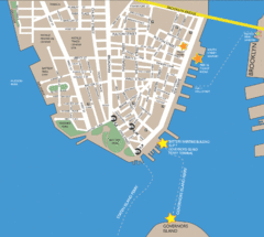
Lower Manhattan Area Map
93 miles away
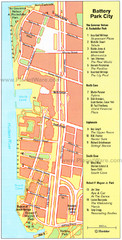
Battery Park City Map
City map of Battery Park City, an area of Manhattan, with art highlighted
94 miles away

NYC Biking Route Map (Part of Queens, Brookyln...
Official biking route map of part of Queens, Brookyln and Staten Island
94 miles away
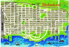
Hoboken Walking Tour map
Walking tour map of Hoboken, NJ. Shows points of interest.
94 miles away
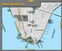
Lowe Manhattan New York City Tourist Map
94 miles away

Battery Park City Map
94 miles away
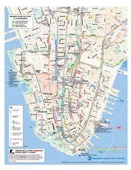
Lower Manhattan Public Transportation Map
Official MTA map of subway, bus, and ferry routes in Lower Manhattan.
94 miles away
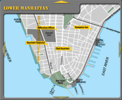
Lower Manhattan New York City Hotel Map
94 miles away
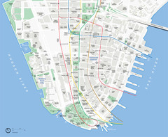
Lower Manhattan Map
94 miles away

