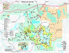
Promised Land State Park map
Detailed recreation map for Promised Land State Park in Pennsylvania
76 miles away
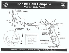
Bodine Field camp area map
Map of Bodine Field camp area in Wharton State Forest, New Jersey.
76 miles away
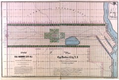
Antique map of Egg Harbor City from 1857
Antique map of Egg Harbor City, New Jersey from 1857.
77 miles away

Boyd Big Tree Preserve Conservation Area map
Detailed map of Boyd Big Tree Preserve Conservation Area in Pennsylvania.
77 miles away
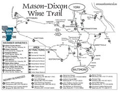
Mason-Dixon Wine Trail Map
Map of the Mason-Dixon Wine Trail, showing area wineries, historical sites, and lodging.
77 miles away
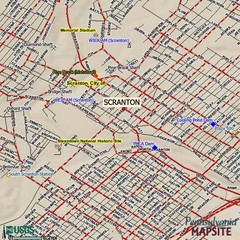
Scranton, Pennsylvania City Map
77 miles away
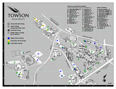
Towson University Map
Towson University Campus Map. All areas shown.
78 miles away
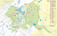
Ricketts Glen State Park map
Detailed recreation map of Ricketts Glen State Park in Pennsylvania
78 miles away
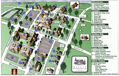
Wesley College Campus Map
Campus map of Wesley College in Dover, Delaware
78 miles away
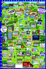
Kent County, Delaware Map
79 miles away

Dissolved Oxygen Concentrations and Trends Map
Delaware's Chesapeake Basin Dissolved Oxygen Concentrations and Trends showing increases and...
79 miles away
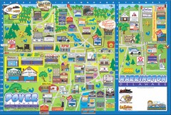
Dover Delaware Cartoon Map
79 miles away

Little Buffalo State Park map
Detailed map of Little Buffalo State Park in Pennsylvania.
79 miles away

Milton State Park map
Detailed recreation map of Milton State Park in Pennsylvania
79 miles away
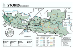
Stokes State Forest map
Trail map of Stokes State Park in New Jersey.
79 miles away

Tanglwood Ski Area Ski Trail Map
Trail map from Tanglwood Ski Area, which provides downhill, night, and terrain park skiing. It has...
82 miles away
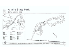
Allaire State Park campground map
Campground map for Allaire State Park in Vermont
83 miles away
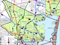
Tom's River, New Jersey City Map
83 miles away
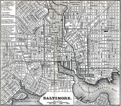
Antique Map of Baltimore from 1869
Antique map of Baltimore Maryland from Appletons' Hand-Book of American Travel. Published in...
84 miles away
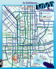
Baltimore, Maryland City Map
84 miles away
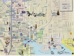
Baltimore Tourist Map
84 miles away
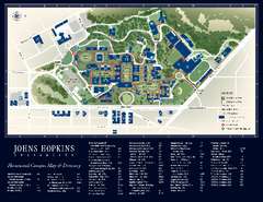
The Johns Hopkins University Map
The Johns Hopkins University Campus Map. All buildings shown.
84 miles away
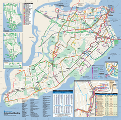
Staten Island Bus Map
Official Bus Map of Staten Island. Shows all routes.
84 miles away

Staten Island Subway/Railway Map
84 miles away
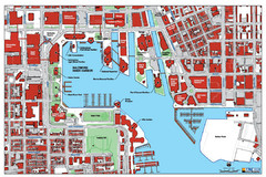
Baltimore Harbor Map
Guide to Baltimore, Maryland harbor
84 miles away
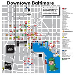
Downtown Baltimore Tourist Map
Map of Food, Hotels and Major Attractions surrouding the Baltimore Convention Center in Baltimore...
84 miles away
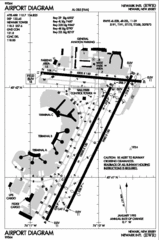
Newark Liberty International Airport Map
85 miles away
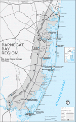
Barnegat Bay region trail map
Trail map of the Barnegat Bay region of New Jersey.
85 miles away
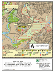
Staten Island Greenbelt Map
86 miles away
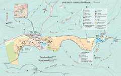
Pine Grove Furnace State Park map
Detailed recreation map for Pine Grove Furnace State Park in Pennsylvania
86 miles away
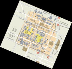
Rutgers University Map
86 miles away

Gettysburg Battlefield Map
87 miles away
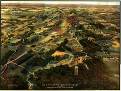
Gettysburg Battlefield in 1913 Map
Bird's eye view map of the Gettysburg Battlefield in 1913 by the Pennsylvania Railroad. From...
87 miles away
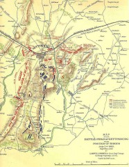
Gettysburg Battlefield map July 2, 1863
Map of the Union and Confederate positions in the Battle of Gettysburg July 2, 1863. "On July...
88 miles away
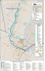
Newark Light Rail system Map
Newark Light rail system
88 miles away
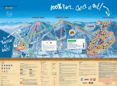
Mountain Creek Ski Trail Map
Official ski trail map of Mountain Creek ski area from the 2007-2008 season. (formerly Vernon...
88 miles away
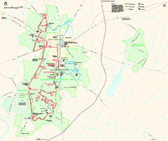
Gettysburg National Military Park Official Map
Official NPS map of Gettysburg National Military Park in Virginia. The park is open daily from 6...
88 miles away

Mountain Creek South Ski Trail Map
Trail map from Mountain Creek.
88 miles away
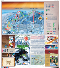
Mountain Creek North Ski Trail Map
Trail map from Mountain Creek.
88 miles away
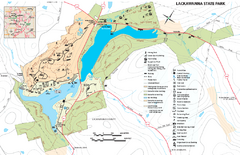
Lackawanna State Park Map
Detailed map of Lackawanna State Park in Pennsylvania.
88 miles away

