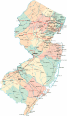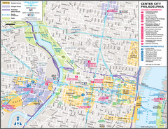
Philadelphia Tourist Map
37 miles away
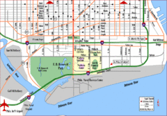
Philadelphia City Map
37 miles away
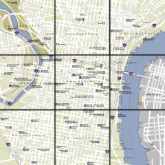
Philadelphia, Pennsylvania City Map
37 miles away
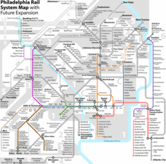
Philadelphia Rail System Map
Philadelphia Rail System Map Version 3.1 with future expansion.
37 miles away
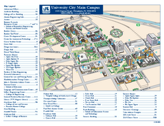
Drexel University Map
Drexel University Campus Map. All buildings shown.
37 miles away
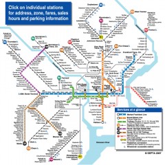
Philadelphia Rail System map
Official SEPTA map of the Philadelphia Rail System. Includes station addresses and fares, sales...
37 miles away
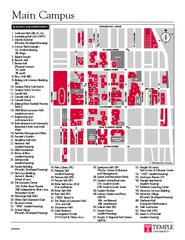
Temple University Map
Campus Map of Temple University. All buildings shown.
37 miles away
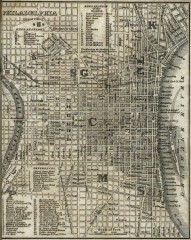
Antique map of Philadelphia from 1842
Antique map of "Philadelphia" from Tanner, H.S. The American Traveller; or Guide Through...
37 miles away
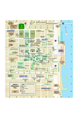
Historic Philadelphia, Pennsylvania Map
Map of historic area in Philadelphia, Pennsylvania, showing churches, museums, and other historical...
38 miles away

Oriel College Map
38 miles away
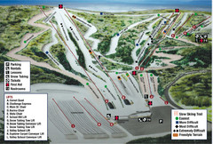
Blue Mountain Ski Area Ski Trail Map
Trail map from Blue Mountain Ski Area.
38 miles away
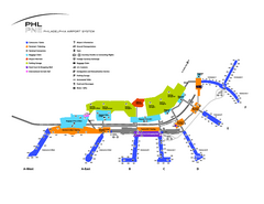
Philadelphia International Airport Terminal Map
Official Map of Philadelphia International Airport. Shows all terminals.
38 miles away

White Clay Creek Preserve map
White Clay Creek Preserve State Park recreation and trail map
39 miles away

Tyler State Park map
Detailed recreation map for Tyler State Park in Pennsylvania
39 miles away

Tuscarora State Park Map
Detailed recreation map for Tuscarora State Park in Pennsylvania
39 miles away
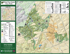
White Clay Creek State Park Map
Clear map and legend of this beautiful state park.
40 miles away
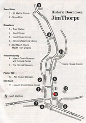
Jim Thorpe Tourist Map
Tourist map of historic Jim Thorpe, Pennsylvania. Scanned from a tourist brochure
40 miles away
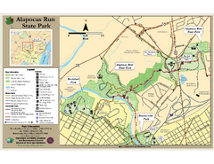
Alapocas Run State Park Map
Detailed map and clear legend for this nice state park.
40 miles away

Beltzville State Park map
Detailed recreation map for Beltzville State Park in Pennsylvania
41 miles away

Locust Lake State Park map
Detailed map of Locust Lake State Park in Pennsylvania
41 miles away

University of Delaware Map
University of Delaware Campus Map. All buildings shown.
42 miles away

Neshaminy State Park map
Detailed recreation map of Neshaminy State Park in Pennsylvania
45 miles away
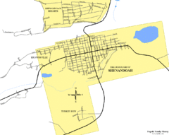
Shenandoah, Pennsylvania Map
45 miles away

Susquehannock State Park map
Detailed recreation map for Susquehannock State Park in Pennsylvania
45 miles away
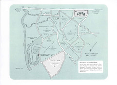
Willingboro Map
47 miles away
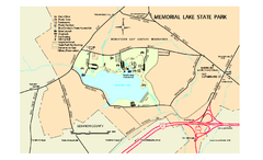
Memorial Lake State Park map
Detailed map of Memorial Lake State Park in Pennsylvania
48 miles away
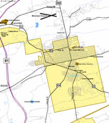
Hazelton Street Map
Clear and descriptive road map.
48 miles away
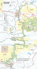
Lehigh Gorge State Park Map
Detailed recreation map for Lehigh Gorge State Park in Pennsylvania
49 miles away
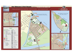
Fort Delaware State Park Map
Nice park on a beautiful island.
49 miles away
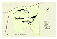
Samuel S. Lewis State Park map
Recreation map for Samuel Lewis State Park in Pennsylvania
49 miles away
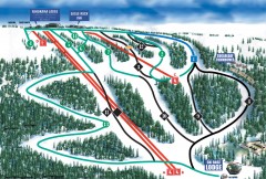
Eagle Rock Ski Trail Map
Official ski trail map of Eagle Rock Resort ski area from the 2007-2008 season.
49 miles away
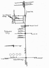
Delaware City Map
City map of Delaware City with Fort Delaware Society highlighted
50 miles away
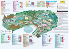
Hershey Park Official Map
Official 2007 map of the Hershey Theme Park in Hershey, PA
50 miles away
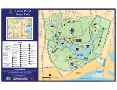
Lums Pond State Park Map
Clear legend and map of this wonderful state park.
50 miles away

Hickory Run State Park Map
Detailed map of Hickory Run State Park in Pennsylvania.
51 miles away
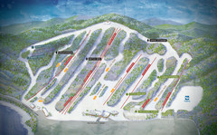
Big Boulder Ski Area Ski Trail Map
Trail map from Big Boulder Ski Area.
53 miles away
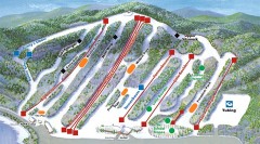
Big Boulder SKi Trail Map
Official ski trail map of Big Boulder ski area from the 2006-2007 season.
53 miles away

New Jersey Tourist Map
Hand drawn tourist map of state of New Jersey, 1955.
54 miles away
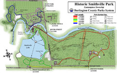
Smithville Park Trail Map
55 miles away

