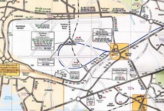
Heathrow Airport Transportation Map
14 miles away
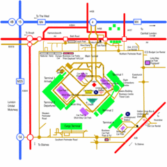
Heathrow Airport Map
14 miles away
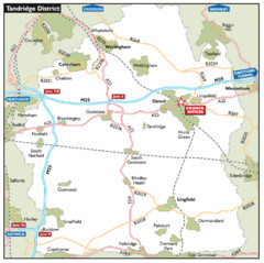
Tandridge District, England Region Map
18 miles away
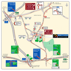
Brentwood, Essex Map
19 miles away
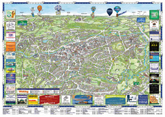
Woking Tourist Map
Tourist map of Woking, Surrey, England. Oblique/3D town map with ads.
23 miles away
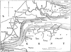
River Thames Map
Map of Thames from Gravesend to Canvey Island
26 miles away
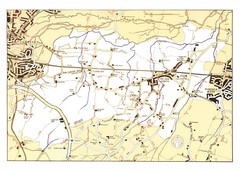
Capel Footpaths Map
Map of Footpaths in Capel Parish
29 miles away
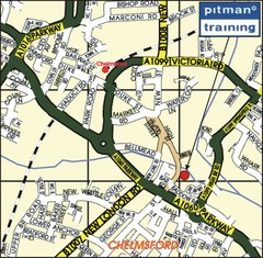
Chelmsford Map
30 miles away
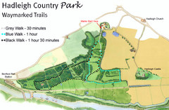
Hadleigh Country Park Map
3 walks, each color coded according to the estimated time it would take to complete each trek...
31 miles away
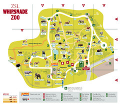
Whipsnade Zoo Map
31 miles away
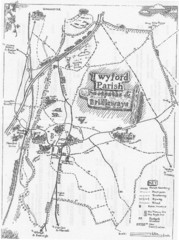
Twyford Parish Map
Footpaths and bridleways map of Twyford Parish
32 miles away

Disabled Accessible Places in Maidstone, Kent Map
A guide to places in Maidstone that are wheelchair accessible.
33 miles away
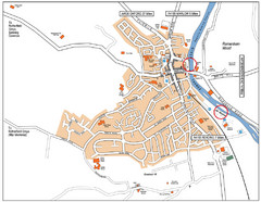
Henley-on-thames Map
Visitor Map of Henley-on-thames. Map shows location of most main roads, buildings, and parking.
33 miles away
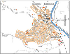
Henley-on-Thames Map
33 miles away
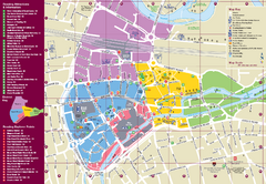
Reading Tourist Map
Tourist map of city center of Reading, England. Shows attractions and other tourist points of...
36 miles away
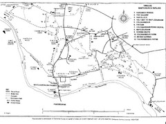
Whitchurch on Thames Walking Map
Guide to 12 walks around Whitchurch on Thames, UK
42 miles away
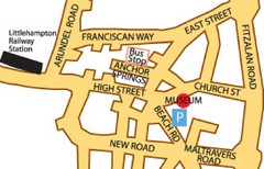
Museums in West Sussex, England Map
43 miles away
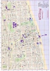
West Sussex, England Map
43 miles away
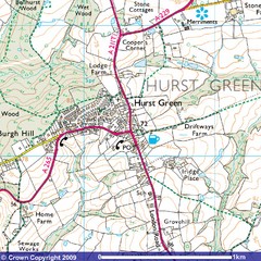
Hurst Green, England City Map
43 miles away
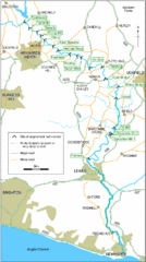
East Sussex, England City Map
44 miles away
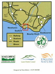
East Sussex, England Bus System Route Map
44 miles away
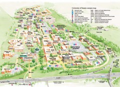
University of Sussex Campus Map
Official campus map of University of Sussex. Shows campus buildings and points of interest.
44 miles away
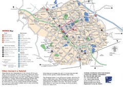
Milton Keynes Region Tourist Map
Tourist map of region around Milton Keynes, UK. Shows railway stations, out of town shopping, and...
44 miles away
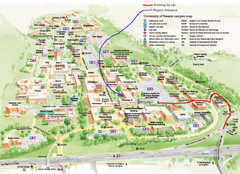
University of Sussex Campus Map
45 miles away
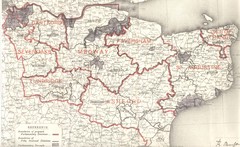
Kent, England County Map
45 miles away
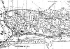
Shoreham-by-Sea, England City Map
47 miles away
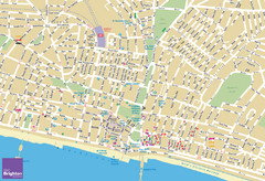
Brighton Tourist Map
Street map of Brighton, UK. Shows gay points of interest.
47 miles away
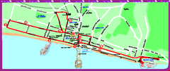
Brighton bus tour map
Brighton bus tour map - City Sightseeing
48 miles away
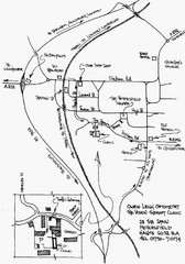
Petersfield, London Map
49 miles away
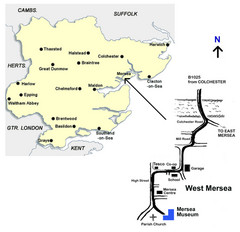
West Mersea Island Museum Map
49 miles away
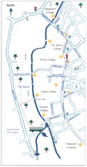
Cambridge Walking Map
Hand drawn tourist walking map of Cambridge, UK
49 miles away
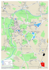
Cambridge Area Map
City map of Cambridge, England. Shows public facilities.
49 miles away
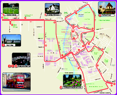
Cambridge Bus Tour Map
Cambridge Bus Tour Map - City Sightseeing
49 miles away
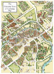
Cambridge England Map
Map of Cambridge, showing all the Colleges
49 miles away
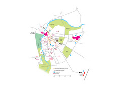
Cambridge City Centre Map
Locations and areas in Cambridge, England
50 miles away
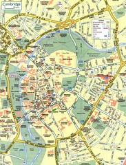
Cambridge Street Map
Street map of central Cambridge, England. Shows University of Cambridge.
50 miles away
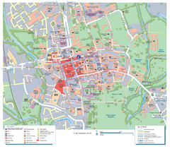
Oxford City Map
Tourist street map of Oxford
51 miles away
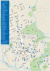
University of Oxford Campus Map
campus map
51 miles away

