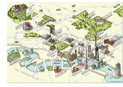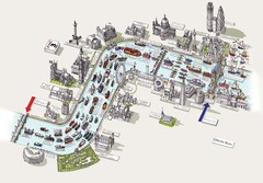
River Thames Jubilee Pageant Map
River Thames Jubilee Pageant 2012
0 miles away
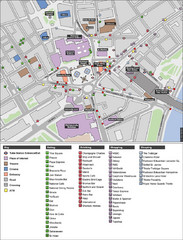
Trafalgar Square Map
less than 1 mile away
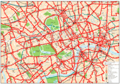
Central London Bus Map
1999 map from The London Tube Map Archive
less than 1 mile away
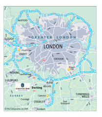
London Map
Map of London highways, roads and surrounding towns.
less than 1 mile away
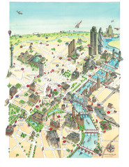
Aerial map of London
Map of London by Katherine Baxter
less than 1 mile away
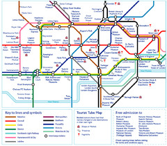
London Tourist Tube Map
London Tube Map with lots of station names replaced with tourist attractions. Key: Union Jack...
less than 1 mile away
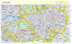
London City Map
City map of London with information and parking locations
less than 1 mile away
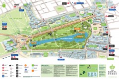
St. James Park Map
Official birds-eye view map of St. James Park, London.
less than 1 mile away
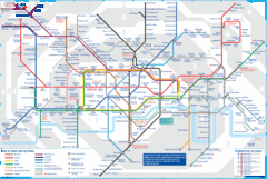
London Underground Tube Map
Map of London's underground Tube
less than 1 mile away
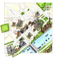
London Westminster Map
Aerial Map of Westminster london, showing the Houses of Parliament
less than 1 mile away
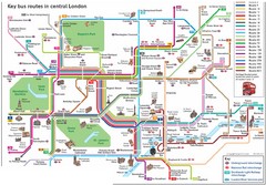
London Central Bus Routes Map
Guide to bus routes in London
less than 1 mile away
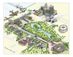
London Westminster Royal Wedding Map
London map, Route map for the royal Wedding 29th April 2011
less than 1 mile away
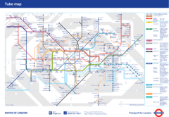
London Underground
London Underground map. Shows all 11 lines, 270 stations, and 9 zones as of 2010. This is the...
less than 1 mile away
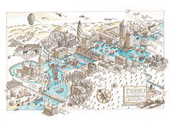
Map of London
Aerial map of London, a look at the History of London and the River Thames
less than 1 mile away
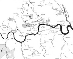
London Subterranean Rivers Map
A great help when one wants to name more than one or two rivers/streams that run through London. I...
less than 1 mile away
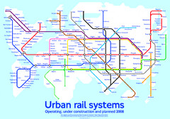
Diagram linking cities with Urban rail systems Map
Made for the book "Transit Maps of the World" this London Underground inspired diagram...
less than 1 mile away
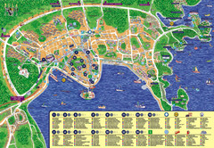
London Tourist Map
less than 1 mile away
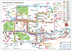
London Bus Route Map
less than 1 mile away
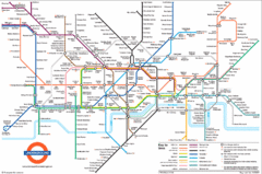
London Subway Map
less than 1 mile away
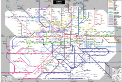
London Subway Map
less than 1 mile away
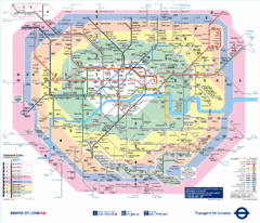
London, England Underground Map
less than 1 mile away
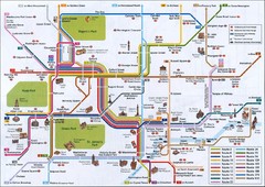
London Tube Map
less than 1 mile away
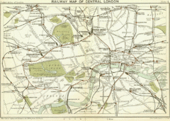
1899 London Railway Map
less than 1 mile away
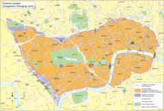
London Congestion Zone Map
less than 1 mile away
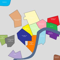
London Attraction and Tourist Map
The main attractions for sightseers in London
less than 1 mile away
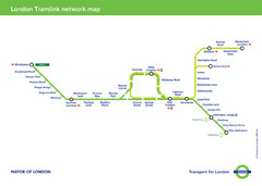
Tramlink Network Map
less than 1 mile away
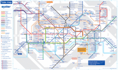
London Tube Map
less than 1 mile away
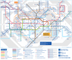
Tube Map
Map of London's tube transit
less than 1 mile away
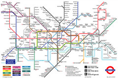
London Underground Transportation Map
The tube/subway in London
less than 1 mile away
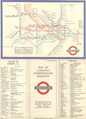
London Railway Map
less than 1 mile away
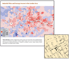
London Income and Industrial Plants Map
Map shows correllation between income and location of industrial sites. Cholera map is also...
less than 1 mile away
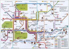
London Tourist Map
Tourist map of London, England showing key bus routes and tourist attractions.
less than 1 mile away
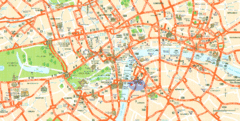
London Tourist Map
Tourist Map of London showing street level detail with tourist attractions marked.
less than 1 mile away
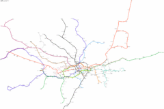
Geographically Correct London Underground Map
less than 1 mile away
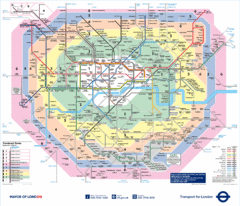
London Underground Tube Map
less than 1 mile away
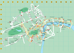
Ensignbus Sightseeing Bus Route Example Map
An example of one of many possible sightseeing routes from Ensignbus tours in London.
less than 1 mile away
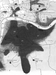
Mr. Grainger's "Cholera Map of the...
There were four districts south of the River Thames that might have interested Snow-#25, St...
less than 1 mile away
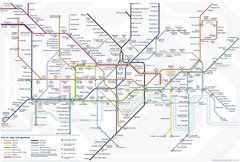
Tube Map
Map of London's Tube transportation lines and stops
less than 1 mile away

