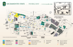
California State University at Sacramento Map
California State University at Sacramento Campus Map. All buildings shown.
158 miles away
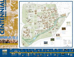
University of California Davis Campus Map
Campus map of UC Davis in Davis, California. Shows all buildings.
158 miles away
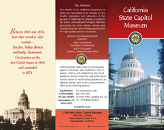
California State Capitol Museum Map
Map of museum and park
158 miles away

Downtown Sacramento, California Map
Tourist map of Downtown Sacramento, California. Museums, lodging, shopping and other attractions...
158 miles away
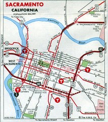
Sacramento, California City Map
159 miles away
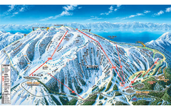
Mt. Rose Ski Tahoe Ski Trail Map
Trail map from Mt. Rose Ski Tahoe.
159 miles away
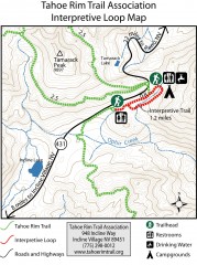
Tahoe Rim Trail: Interpretive Loop, Lake Tahoe...
Trail map of the Tahoe Rim Trail's Interpretive Loop Trail. Shows both trails, camping...
159 miles away
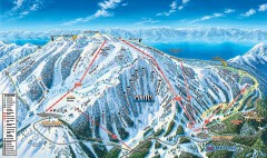
Mt. Rose Ski Trail Map
Official ski trail map of Mt. Rose ski area
159 miles away
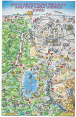
Reno and Lake Tahoe Area Golf map
Illustrated map showing all golf courses in the Reno/lake Tahoe area, 2006 version. To view more...
160 miles away
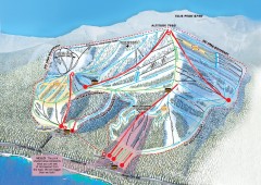
Homewood Ski Trail Map
Official ski trail map of Homewood ski area from the 2007-2008 season.
160 miles away
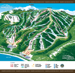
Homewood Mountain Resort Ski Trail Map
Trail map from Homewood Mountain Resort, which provides downhill and terrain park skiing. It has 7...
160 miles away
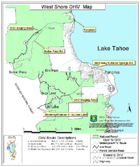
West Shore Lake Tahoe Off-highway Vehicle Map
Off-highway vehicle map of the West Shore of Lake Tahoe. Roads open to motorcycles, ATVs, and 4x4s...
160 miles away
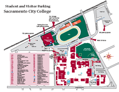
Sacramento City College Campus Map
Sacramento City Campus Map. All buildings shown.
161 miles away
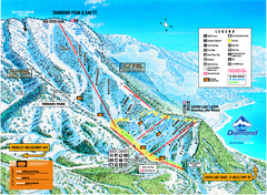
Diamond Peak Ski Trail Map
Trail map from Diamond Peak.
161 miles away
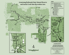
Armstrong Redwoods State Natural Reserve Map and...
Park map of Armstrong Redwoods State Natural Reserve and Austin Creek State Recreation Area in...
161 miles away
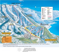
Diamond Peak Ski Trail Map
Official ski trail map of Diamond Peak ski area from the 2007-2008 season.
161 miles away
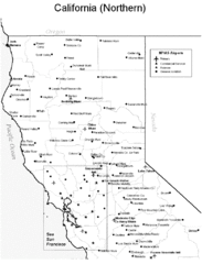
Northern California Airports Map
163 miles away

Sugar Pine Point State Park South Map
Map of southern region of park with detail of trails and recreation zones
163 miles away
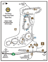
Sugar Pine Point State Park Campground Map
Map of campground region of park with detail of trails and recreation zones
163 miles away
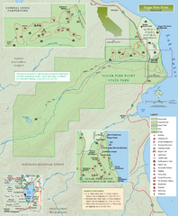
Sugar Pine Point State Park Map
Map of park with detail of trails and recreation zones
163 miles away
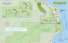
Sugar Pine Point State Park North Map
Map of northern region of park with detail of trails and recreation zones
163 miles away
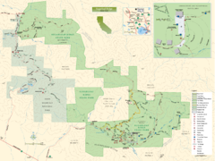
Sugarloaf Ridge State Park Map
Trail map of Sugarloaf Ridge State Park
163 miles away
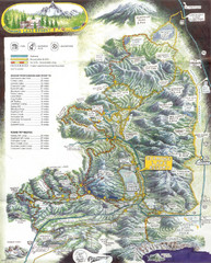
Diamond Lake Tourist Map
163 miles away
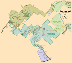
Hood Mountain Regional Park Map and Sugarloaf...
Park map of Hood Mountain Regional Park and Open Space Preserve and Sugarloaf Ridge State Park in...
163 miles away
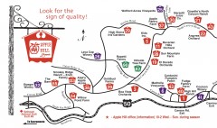
Apple Hill tourist map
Map of Apple Hill growers in Camino, California. Shows vineyards and orchards.
164 miles away
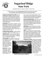
Sugarloaf Ridge State Park Campground Map
Map of park with detail of trails and recreation zones
164 miles away

Digital Elevation Model Satellite Tahoe Map
Digital Elevation Models
164 miles away
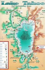
Lake Tahoe and nearby activities Map
Lake Tahoe and nearby resorts and activities
164 miles away
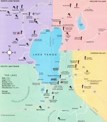
Lake Tahoe Area, California Map
Recreation map of Lake Tahoe, California. Points of interest shown include golfing, skiing, and...
164 miles away
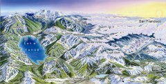
Lake Tahoe Ski Resort map
Winter map of Lake Tahoe showing relative position of all ski resorts. South-facing view. Created...
164 miles away
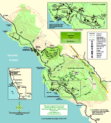
Salt Point State Park Map
Topo park map of Salt Point State Park and Kruse Rhododendron State Reserve. Shows trails by use...
164 miles away
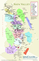
Napa Valley Wine Map
Wine map of Napa Valley, Napa, California. Shows all vineyards and shading by appellations from...
164 miles away
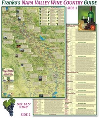
Napa Valley Wine Country Guide Map
Map of the Napa Valley Wine Country. With over 250 local Wineries listed. Printed on waterproof...
164 miles away
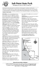
Salt Point State Park Campground Map
Map of campground region of park with detail of trails and recreation zones
165 miles away
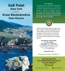
Salt Point State Park Map
Map of park with detail of trails and recreation zones
165 miles away
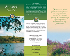
Annadel State Park Map
Map of park with detail of trails and recreation zones
165 miles away
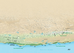
California Redwood Range Map
NPS prospective map of the coastal redwoord range in California, extending from Santa Cruz north to...
165 miles away
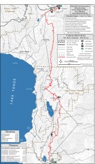
Tahoe Rim Trail: Tahoe Meadows to Spooner Summit...
Topographic hiking map of the Tahoe Meadows-Spooner Summit leg of the Tahoe Rim Trail. Shows bike...
166 miles away
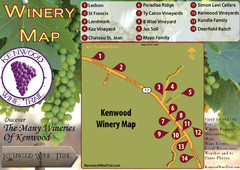
Kenwood Wine Tasting Map
166 miles away
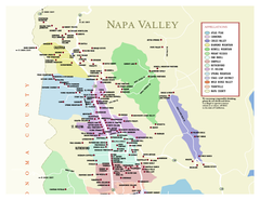
Napa County Wineries, California Map
Map of wineries in Napa County, California. Shows wineries and appellations.
166 miles away

