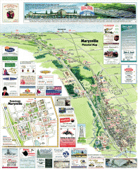
Marysville tourist map
Tourist map of Marysville, Washington. Shows all businesses.
502 miles away
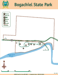
Bogachiel State Park Map
Map of park with detail of trails and recreation zones
502 miles away
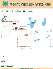
Mount Pilchuck State Park Map
Map of park with detail of trails and recreation zones
502 miles away
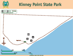
Kinney Point State Park Map
Map of island with detail of trails and recreation zones
502 miles away
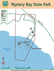
Mystery Bay State Park Map
Map of park with detail of trails and recreation zones
503 miles away
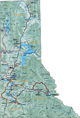
Northern Idaho Road Map
503 miles away
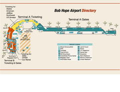
Burbank "Bob Hope" Airport Terminal Map
Official Terminal Map of Bob Hope Airport in Burbank, California. Shows all areas.
503 miles away

Whidbey Island tourist map
Tourist map of Whidbey Island and Coupeville, Washington. Shows all businesses.
503 miles away
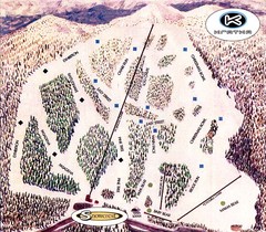
Kratka Ridge Ski Trail Map
Trail map from Kratka Ridge.
505 miles away
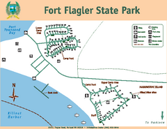
Fort Flagler State Park Map
Map of park with detail of trails and recreation zones
505 miles away
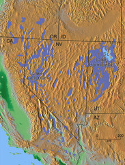
Pleisocene Lakes of western U.S. Map
505 miles away
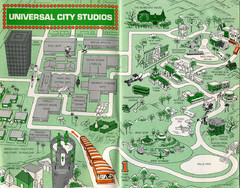
1966 Universal Studios Guide Map
507 miles away
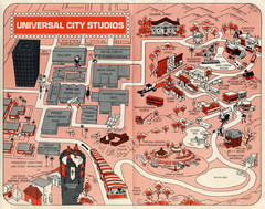
1968 Universal Studios Guide Map
A 1968tour guide map of Universal Studios
507 miles away
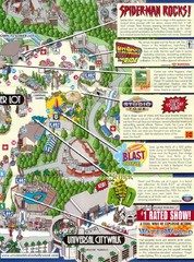
Universal Studios in Hollywood Tourist Map
Features and landmarks at Universal Studios in Hollywood, CA
507 miles away
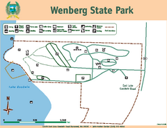
Wenberg State Park Map
Map of park with detail of trails and recreation zones
507 miles away
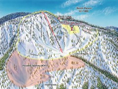
Mountain High Ski Trail Map - North Resort
Official ski trail map of Mountain High ski area for the North Resort
508 miles away
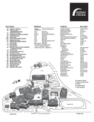
Glendale Community College Campus Map
Glendale Community College Campus Map. Shows all buildings.
508 miles away
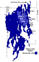
Lake Bonneville Levels Map
508 miles away
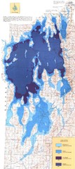
Ancient Lake Bonneville Map
508 miles away
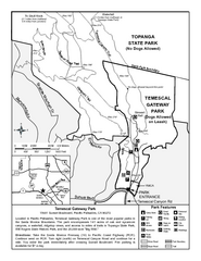
Temescal Canyon Trail Map
Trail map of Temescal Gateway Park, Temescal Canyon, and adjoining section of Topanga State Park...
508 miles away

Golden Spike National Monument Map
508 miles away
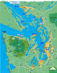
Seattle Ferry Guide Map
Map of ferries around Seattle, Puget Sound and Olympic Peninsula
508 miles away
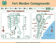
Fort Worden Campgrounds Map
Map of park campgrounds
508 miles away
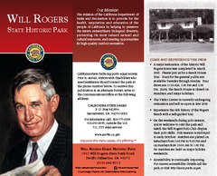
Will Rogers State Historic Park Map
Map of park with detail of trails and recreation zones
508 miles away
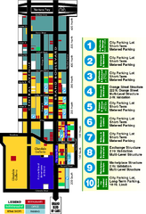
Downtown Glendale, California Map
Tourist map of downtown Glendale, California. Locations of retail, restaurants, entertainment and...
508 miles away
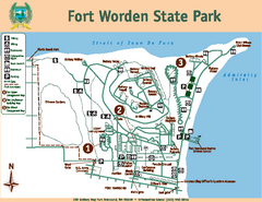
Fort Worden State Park Map
Map of park with detail of trails and recreation zones
508 miles away
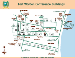
Fort Worden Conference Buildings Map
Map of conference buildings in Fort Worden State Park
508 miles away
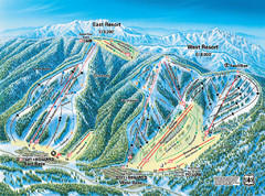
Mountain High Resort East & West Resorts Ski...
Trail map from Mountain High Resort, which provides downhill, night, and terrain park skiing. It...
509 miles away
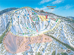
Mountain High Resort North Resort Ski Trail Map
Trail map from Mountain High Resort, which provides downhill, night, and terrain park skiing. It...
509 miles away
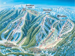
Mountain High Ski Trail Map - East and West Resort
Official ski trail map of Mountain High ski area for the East Resort and West Resort
509 miles away
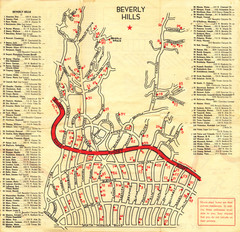
Beverly Hills stars homes map
509 miles away
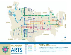
Pasadena ARTS (Area Rapid Transit System) Map
Pasadena A.R.T.S. (Metro) Route Map. System map of all train routes, streets and surrounding...
509 miles away
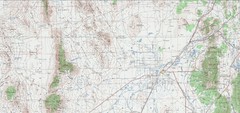
Delta Quad Sheet Detail 1972 Map
509 miles away
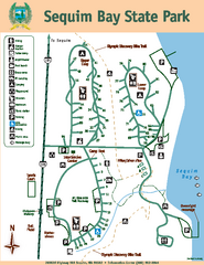
Sequim Bay State Park Map
Map of park with detail of trails and recreation zones
509 miles away

Ronald Reagan ULCA Medical Center Building Map
Pocket map to the medical center campus
509 miles away

Ronald Reagan ULCA Medical Center Map
Pocket Map to the medical center campus
509 miles away
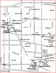
West Hollywood Art Gallery map
Art Gallery map of West Hollywood in Los Angeles
509 miles away
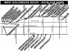
West Hollywood - Rock City News Map
Nightclubs, record stores, tattoo shops, etc.
509 miles away
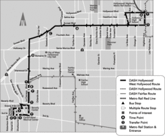
West Hollywood Area DASH Bus Routes Map
509 miles away
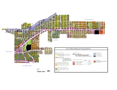
West Hollywood Zoning Map 10/08/09
509 miles away

