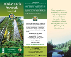
Jedediah Smith Redwoods State Park Map
Map of park with detail of trails and recreation zones
120 miles away
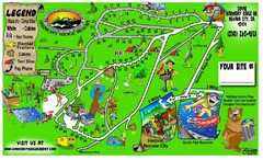
Harmony Ridge Resort Map
123 miles away
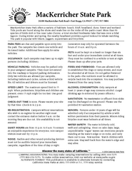
MacKerricher State Park Campground Map
Map of campground region of park with detail of trails and recreation zones
124 miles away
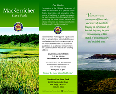
MacKerricher State Park Map
Map of park with detail of trails and recreation zones
125 miles away
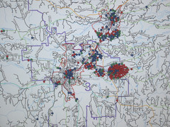
Nevada County Economic Resource Council Activity...
The ERC supports many different businesses in western Nevada County. We provide business assistance...
125 miles away
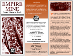
Empire Mine State Historic Park Map
Map of park with detail of trails and recreation zones
126 miles away
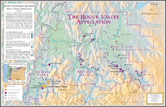
Oregon Rogue Valley wineries Map
Southern Oregon's Rogue Valley wineries
128 miles away
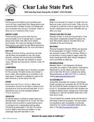
Clear Lake State Park Campground Map
Map of park with detail of trails and recreation zones
128 miles away
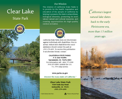
Clear Lake State Park Map
Map of park with detail of trails and recreation zones
128 miles away
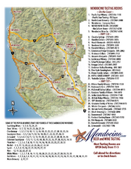
Mendocino Beer and Wine Tasting Map
Beer and wine tasting map of Mendocino county, California. Show breweries and wineries on the...
130 miles away
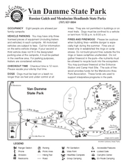
Russian Gulch State Park Campground Map
Map of campground region of park with detail of trails and recreation zones
132 miles away
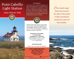
Point Cabrillo Light Station State Historic Park...
Map of park with detail of trails and recreation zones
132 miles away
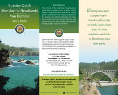
Mendocino Headlands State Parks Map
Map of parks with detail of trails and recreation zones
133 miles away
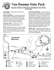
Van Damme State Park Campground Map
Map of campground region of park with detail of trails and recreation zones
134 miles away
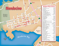
Mendocino Tourist Map
Tourist map of town of Mendocino, California. Shows shops and services.
134 miles away
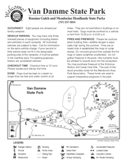
Van Damme State Park Campground Map
Map of campground region of park with detail of trails and recreation zones
134 miles away

Van Damme State Park Map
Park map of Van Damme State Park near Mendocino, California. Show Fern Valley Trail through...
134 miles away

Lakeview Oregon Road Map
136 miles away
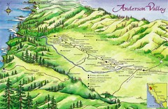
Anderson Valley Wine Map
Shows wineries/vineyards in Anderson Valley, California along Route 128 from Navarro, California to...
136 miles away
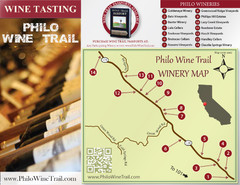
Philo Wine Map
Shows wineries great for wine tasting in the Anderson Valley along Route 128 in Philo California.
137 miles away
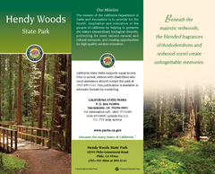
Hendy Woods State Park Map
Map of park with detail of trails and recreation zones
137 miles away
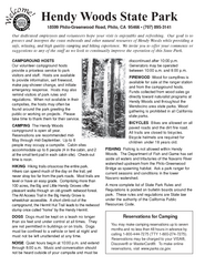
Hendy Woods State Park Campground Map
Map of campground region park with detail of trails and recreation zones
137 miles away
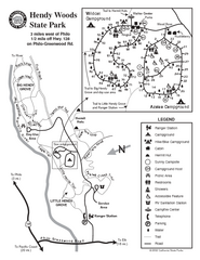
Hendy Woods State Park Map
Park map of Hendy Woods State Park in Philo, California. Shows trails, campgrounds, and other...
137 miles away
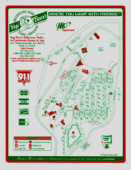
Jellystone Park at Glebrook Resort & Spa Map
138 miles away
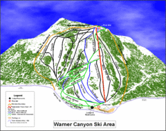
Warner Canyon Ski Trail Map
Trail map from Warner Canyon, which provides downhill skiing.
140 miles away
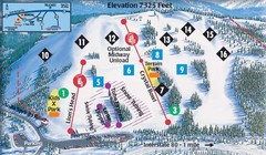
Soda Springs Ski Trail Map
Trail map from Soda Springs, which provides downhill and terrain park skiing. It has 2 lifts...
140 miles away
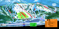
Boreal Mountain Resort Ski Trail Map
Trail map from Boreal Mountain Resort, which provides downhill, night, and terrain park skiing. It...
141 miles away
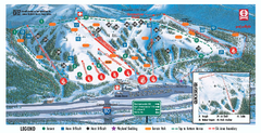
Boreal Ski Trail Map
Official ski trail map of Boreal ski area
141 miles away
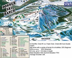
Donner Ski Ranch Ski Trail Map
Trail map from Donner Ski Ranch, which provides downhill and terrain park skiing. It has 6 lifts...
142 miles away
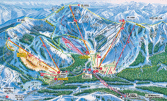
Sugar Bowl Resort Ski Trail Map
Trail map from Sugar Bowl Resort, which provides downhill and terrain park skiing. It has 12 lifts...
143 miles away

Tahoe Donner Ski Trail Map
Trail map from Tahoe Donner, which provides downhill, night, and nordic skiing. It has 3 lifts...
143 miles away
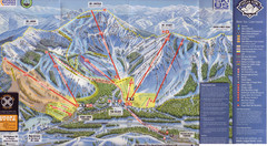
Sugar Bowl Ski Trail Map
Ski trail map of Sugar Bowl ski area from the 2008-09 season. Scanned.
143 miles away
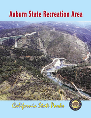
Auburn State Recreation Area Map
Map of park with detail of of trails and recreation zones
144 miles away
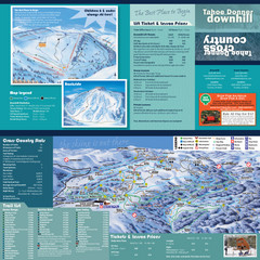
Tahoe Donner Cross Country Ski Trail Map
Ski trail map of Tahoe Donner Association. Shows both downhill and cross-country ski trails...
145 miles away
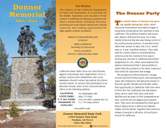
Donner Memorial State Park Map
Map of park with detail of trails and recreation zones
145 miles away
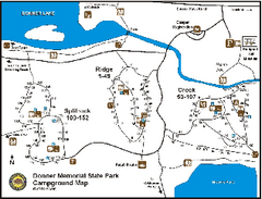
Donner Memorial State Park Campground Map
Map of park with detail of trails and recreation zones
145 miles away
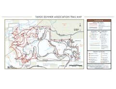
Tahoe Donner Ski Trail Map
Official ski trail map of Tahoe Donner Association. Shows both downhill and cross-country ski...
146 miles away
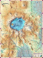
Crater Lake National Park map
Great map of Crater Lake National Park shows all trails, viewpoints, mountains, roads, campgrounds...
148 miles away
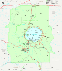
Crater Lake National Park official map
Official map of Crater Lake National Park. Shows hiking trails, elevations of peaks, roads, and...
148 miles away
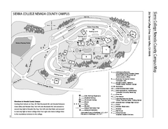
Sierra College Campus Map
Sierra College Campus Map. All buildings shown.
148 miles away

