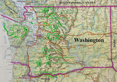
Washington State Road and Recreation Map
486 miles away
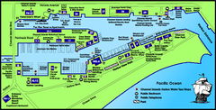
Channel Islands Harbor, California Map
Tourist map of Channel Islands Harbor, California. Shows water taxi stops, restaurants, parks, and...
487 miles away
Saddleback Butte State Park Map
Map of park with detail of trails and recreation zones
487 miles away
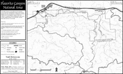
Placerita Canyon Trail Map
487 miles away
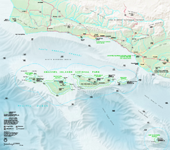
Channel Islands National Park Official Park Map
Official NPS map of Channel Islands National Park in California. Channel Islands National Park...
489 miles away
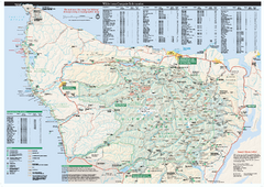
Olympic National Park wilderness campsite map
Official wilderness campsite map of Olympic National Park. Shows roads, trails, visitor...
489 miles away
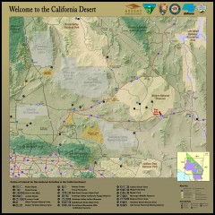
California Desert Recreation Map
Shows points of interest for recreational activities in the California desert
490 miles away
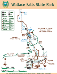
Wallace Falls State Park Map
Map of park with detail of trails and recreation zones
490 miles away
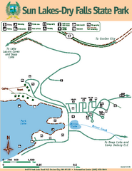
Sun Lakes-Dry Falls State Park Map
Map of park with detail of trails and recreation zones
490 miles away
Northwest USA topo Map
490 miles away
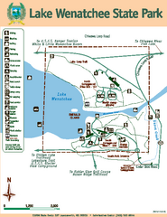
Lake Wenatchee State Park Map
Map of island with detail of trails and recreation zones
490 miles away
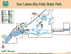
Sun Lakes-Dry Falls State Park Map
Map of park with detail of trails and recreation zones
490 miles away
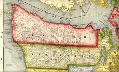
Clallam and Jefferson Counties Washington, 1909...
490 miles away
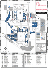
California State University Channel Islands Map
Campus Map
491 miles away
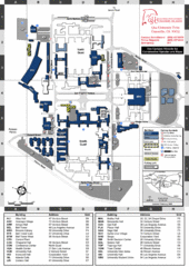
California State University Channel Islands...
Campus map of California State University Channel Islands (CSUCI).
491 miles away
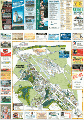
Mukilteo tourist map
Mukilteo, Washington tourist map. Shows all businesses.
491 miles away
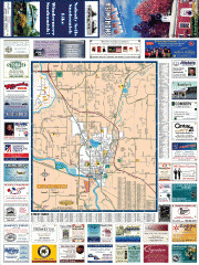
Snohomish tourst map
Tourist map of Snohomish, Washington. Shows all businesses.
492 miles away
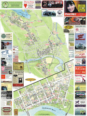
Snohomish tourist map
Snohomish, Washington tourist map. Shows all businesses.
492 miles away
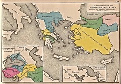
Historical Map of Mediterranean Sea B.C. 1884
"The Eastern half of the Mediterranean Sea during the two centuries preceeding the birth of...
493 miles away
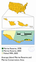
Anacapa Island Marine Reserve Map
494 miles away
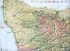
Olympic National Park Map
494 miles away
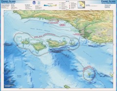
Channel Islands National Marine Sanctuary Map
Topo and bathymetric map of Channel Islands National Marine Sanctuary, located about 23 miles from...
494 miles away
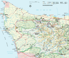
Olympic National Park Map
494 miles away
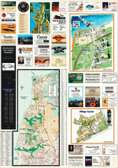
Mukilteo tourist map
Greater Mukilteo, Washington tourist map. Shows all businesses.
495 miles away
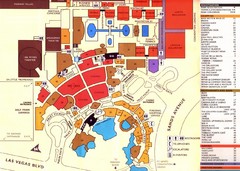
Las Vegas Tourist Map
495 miles away
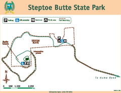
Steptoe Butt State Park Map
Map of park with detail of trails and recreation zones
495 miles away

Community College of Southern Nevada Map
Campus Area map of the Community College of Southern Nevada. The college is located on three main...
496 miles away
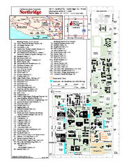
California State University at Northridge Map
Campus Map of the California State University at Northridge. All buildings shown.
496 miles away
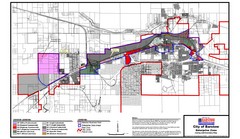
City of Barstow Zoning Map
Map illustrates the zoning and boundary areas of the city of Barstow.
497 miles away
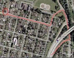
19th and Walnut in Everett, WA Map
497 miles away
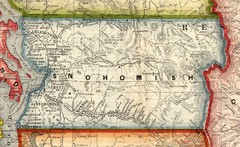
Snohomish County Washington, 1909 Map
497 miles away
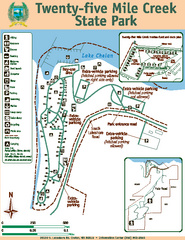
Twenty-Five Mile Creek State Park Map
Map of park with detail of trails and recreation zones
497 miles away
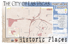
Las Vegas Historical Landmarks Map
497 miles away

South Whidbey Island tourist map
Tourist map of South Whidbey Island, Washington. Shows all businesses.
498 miles away
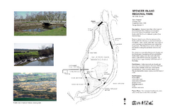
Spencer Island Park map
498 miles away

Centennial Trail Map
498 miles away
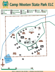
Camp Wooten State Park Map
Map of park with detail of trails and recreation zones
498 miles away
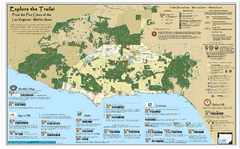
Santa Monica Mountains Area Trail map
Trail map of the Santa Monica Mountains National Recreation Area. Highlights information about...
498 miles away
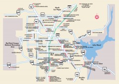
Las Vegas Surrounding Areas, Nevada Map
Tourist map of the areas surrounding Las Vegas, Nevada. Shows hotels and inns outside of downtown...
498 miles away
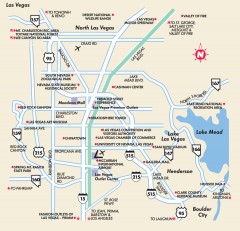
Point of Interest in Las Vegas, Nevada Map
Tourist map of Las Vegas, Nevada. Shows museums, government buildings, and other attractions.
498 miles away

