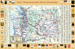
Washington State Winery Map
Washington State Winery Map
476 miles away

3-D Panoramic Map of the Puget Sound
A 3D panoramic map of a view from a private residence over Puget Sound toward the Olympic mountains.
477 miles away
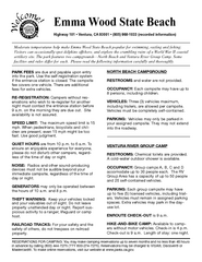
Emma Wood State Beach Campground Map
Map of campground region of park with detail of trails and recreation zones
477 miles away
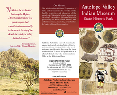
Antelope Valley State Park Map
Map of park with detail of of trails and recreation zones
477 miles away
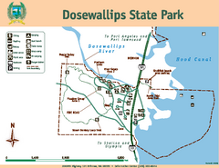
Dosewallips State Park Map
Map of park with detail of trails and recreation zones
478 miles away
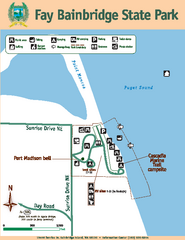
Fay Bainbridge State Park Map
Map of park with detail of trails and recreation zones
478 miles away
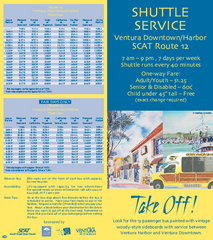
SCAT Shuttle Map: Ventura Harbor to Downtown...
Shuttle bus route map of SCAT Shuttle between Ventura Harbor and downtown Ventura, California...
478 miles away
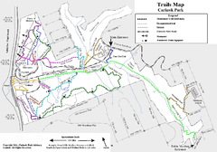
Carkeek Park Trail Map
Trail map of Carkeek Park on the Puget Sound, Seattle, WA. Shows maintained and unmaintained trails.
478 miles away

San Buenaventura Map
478 miles away
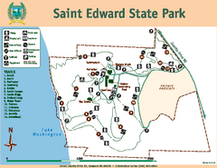
Saint Edward State Park Map
Map of park with detail of trails and recreation zones
479 miles away

Pullman Parks Trail Map
Trails and pathways map
480 miles away
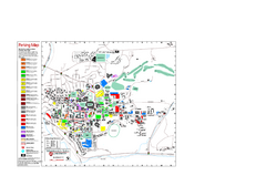
Washington State University Map
Washington State University Campus Map. All buildings shown.
480 miles away
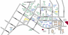
Washington State University's Greek Row Map
Map of WSU's fraternities and sororities
481 miles away
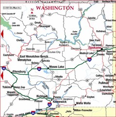
Eastern Washington Road Map
481 miles away
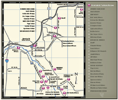
Woodinville Wine Country Map
Map of wineries in the Woodinville, WA area
481 miles away

Woodinville tourist map
Tourist map of Woodinville, Washington. Shows all businesses.
482 miles away
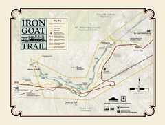
Iron Goat Trail Map
482 miles away
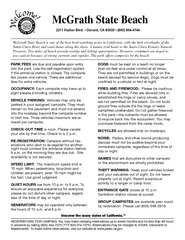
McGrath State Beach Campground Map
Map of beach and park with detail of trails and recreation zones
482 miles away
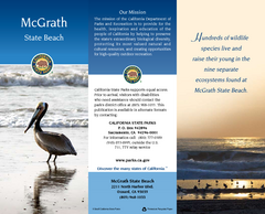
McGrath State Beach Map
Map of beach and park with detail of trails and recreation zones
482 miles away
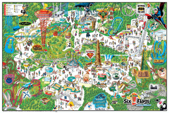
Six Flags Magic Mountain Theme Park Map
Official park map of Six Flags Magic Mountain, California.
483 miles away
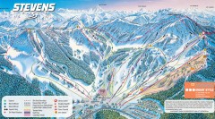
Stevens Pass Ski Trail Map
Official ski trail map of Stevens Pass ski area
483 miles away
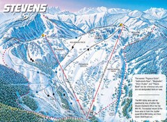
Stevens Pass Ski Area Stevens Pass Mill Valley...
Trail map from Stevens Pass Ski Area, which provides night and terrain park skiing. It has 8 lifts...
483 miles away
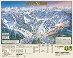
Stevens Pass Trail Map
484 miles away
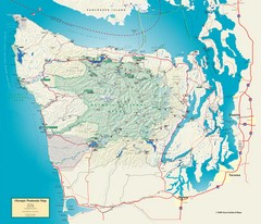
Olympic National Park and Peninsula Map
Guide to the Olympic National Park and surrounding region
484 miles away
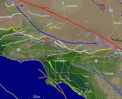
Southern California Fault Lines Map
The red line on this map of southern California is the San Andreas fault. Other lines represent...
485 miles away
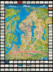
Puget Sound biotech map
Map of Puget Sound area biotechnology companies.
485 miles away
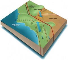
Southern California Compressional Fold Belts Map
Diagram of southern California showing the San Andreas Fault as a master player in a tectonic...
485 miles away
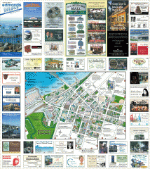
Downtown Edmonds tourist map
Tourist map of Downtown Edmonds, Washington. Shows all businesses.
485 miles away
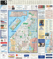
Edmonds tourist map
Tourist map of Edmonds, Washington. Shows all businesses.
485 miles away
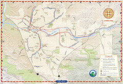
Santa Clarita Trail Map
485 miles away
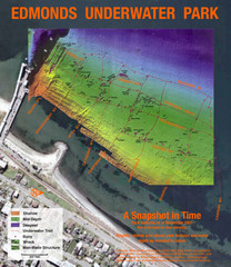
Edmonds Underwater Park Map
Map of underwater park for divers
485 miles away
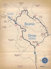
Red Rock Canyon Trail Map
Hiking trail map
485 miles away
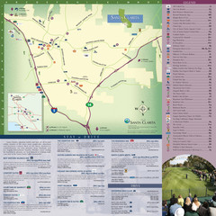
Santa Clarita Tourist Map
Tourist map of Santa Clarita, California
486 miles away
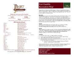
Stottlemeyer trails Map
486 miles away
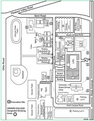
Oxnard College Map
486 miles away
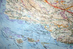
Oxnard California Fault Lines Map
FAULT MAP OF THE SANTA BARBARA TO OXNARD COASTAL AREA THE MESA-RINCON CREEK FAULT LIES DIRECTLY...
486 miles away
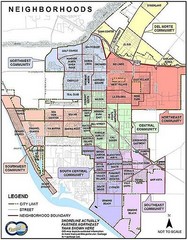
Oxnard California Neighborhoods Map
Neighborhoods: * Del Norte District o El Rio o El Rio West o...
486 miles away
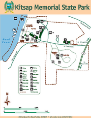
Kitsap Memorial State Park Map
Map of island with detail of trails and recreation zones
486 miles away
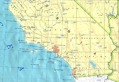
Southern California Map
486 miles away
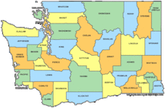
Washington State Counties Map
486 miles away

