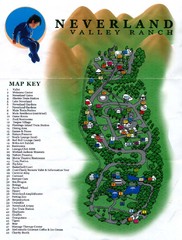
Michael Jackson's Neverland Ranch Map
Map shows all points of interest at Michael Jackson's Neverland Ranch near Los Olivos, CA.
434 miles away
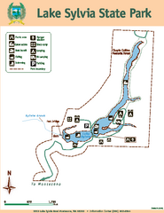
Lake Sylvia State Park Map
Map of island with detail of trails and recreation zones
434 miles away
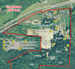
Grays Harbor County Straddleline ORV Park...
Park Map near Olympia
435 miles away
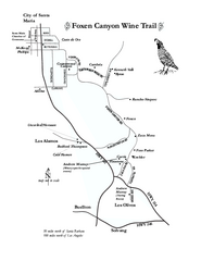
Foxen Canyon Wine Trail Map
Foxen Canyon area wineries and vineyards, near Santa Barbara, California.
435 miles away
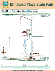
Olmstead Place State Park Map
Map of park with detail of trails and recreation zones
436 miles away
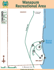
Wanapum Recreational Area Map
Map of park with detail of trails and recreation zones
436 miles away
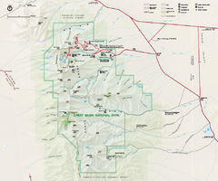
Great Basin National Park Map
Official NPS park map of Great Basin National Park. Shows all roads, trails, and facilities...
438 miles away
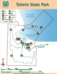
Tolmie State Park Map
Map of park with detail of trails and recreation zones
438 miles away
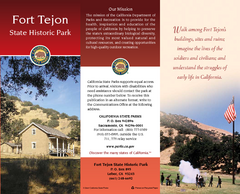
Fort Tejon State Historic Park Map
Map of park with detail of trails and recreation zones
438 miles away
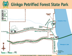
Ginkgo Petrified Forest State Park Map
Map of park with detail of trails and recreation zones
439 miles away
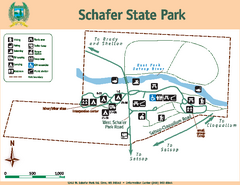
Schafer State Park Map
Map of park with detail of trails and recreation zones
440 miles away
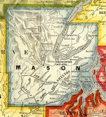
Mason County Washington, 1909 Map
440 miles away
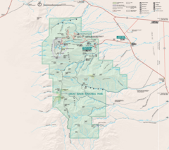
Great Basin National Park Map
441 miles away
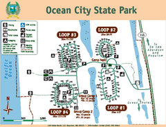
Ocean City State Park Map
Map of park with detail of trails and recreation zones
442 miles away
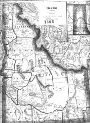
Idaho 1883 Map
442 miles away
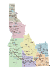
Idaho Road Map
442 miles away
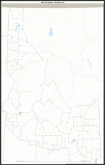
Idaho Zip Code Map
Check out this Zip code map and every other state and county zip code map zipcodeguy.com.
442 miles away
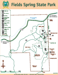
Fields Spring State Park Map
Map of park with detail of trails and recreation zones
443 miles away
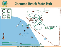
Joemma Beach State Park Map
Map of park with detail of trails and recreation zones
445 miles away
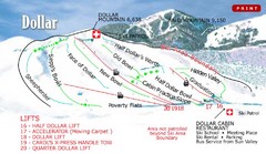
Sun Valley—Bald Mountain Ski Trail Map
Trail map from Sun Valley—Bald Mountain, which provides downhill, nordic, and terrain park skiing...
446 miles away
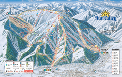
Sun Valley Ski Trail Map 2008
Ski trail map of Sun Valley ski area
446 miles away
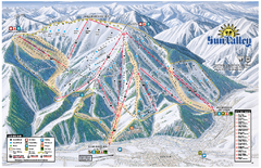
Sun Valley Ski Area Trail Map
Official ski trail map of Bald Mountain, the main mountain of Sun Valley ski area in Sun Valley...
446 miles away
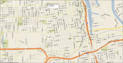
Tacoma, Washington City Map
446 miles away
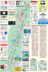
Milton tourist map
Tourist map of Milton, Washington. Shows all businesses.
446 miles away
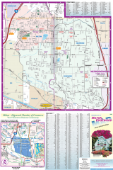
Milton and Edgewood tourist map
Tourist map of Milton and Edgewood, Washington. Shows all businesses.
446 miles away
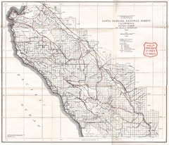
Santa Barbara National Forest 1924 Map
Los Padres National Forest Map. Prior to 1936 it was known as the Santa Barbara National Forest.
446 miles away

Bonneville Salt Flats International Speedway Map
447 miles away

Oregon Trail Historical Map
447 miles away
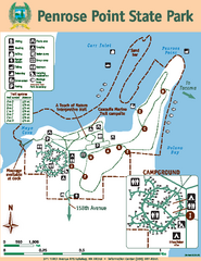
Penrose Point State Park Map
Map of park with detail of trails and recreation zones
447 miles away
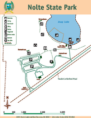
Nolte State Park Map
Map of park with detail of trails and recreation zones
448 miles away
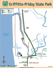
Griffiths-Priday State Park Map
Griffiths-Priday State Park
448 miles away
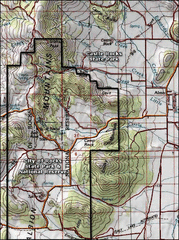
City of Rocks Topo Map
This topo map does not do justice to City of Rocks which is a wonderful reserve that is managed by...
449 miles away
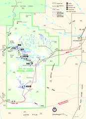
City of Rocks Park Map
This is the official Map for the reserve
449 miles away
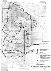
Sites of Cultural Importance, City of Rocks Area...
449 miles away
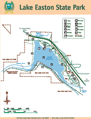
Lake Easton State Park Map
Map of island with detail of trails and recreation zones
449 miles away
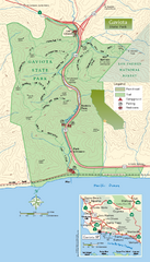
Gaviota State Park Zoom Map
Zoom map of park with detail of trails and recreation zones
450 miles away
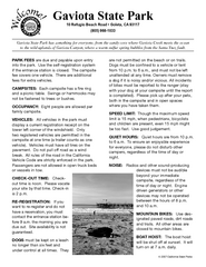
Gaviota State Park Campground Map
Map of campground region of park with detail of trails and recreation zones
450 miles away
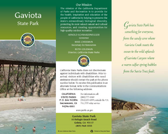
Gaviota State Park Map
Map of park with detail of trails and recreation zones
450 miles away
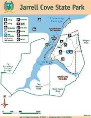
Jarrell Cove State Park Map
Map of park with detail of trails and recreation zones
450 miles away
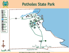
Potholes State Park Map
Map of park with detail of trails and recreation zones
450 miles away

