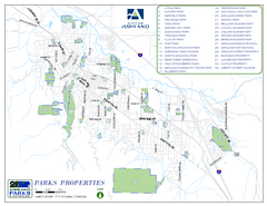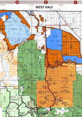
Modoc National Park Map
Visitor Map of Modoc National Park--Western Part. Includes the parameters of the Lava Beds...
78 miles away
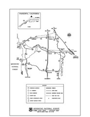
Mendocino National Forest map
Map of the Nome Cult Trail Walk in the Mendocino National Forest.
78 miles away
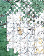
Clip07 Map
Visitor Maps of Klamath, central-western part of the park. Includes all roads, camp grounds...
85 miles away
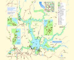
Lake Oroville State Recreation Area Map
Map of recreation area with detail of trails and recreation zones
91 miles away
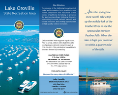
Lake Oroville State Recreation Area Map
Map of recreation area with detail of trails and recreation zones
91 miles away
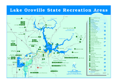
Lake Oroville State Recreation Area Map
Recreation overview map of Lake Oroville State Recreation Area near Oroville, California. Show all...
91 miles away
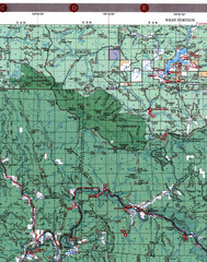
Klamath National Forest Map
Visitor Map of Klamath, western part of the park. Includes all roads, lakes, rivers and camping...
92 miles away
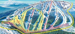
Mt. Ashland Ski Trail Map
Ski trail map of Mt. Ashland ski area near Ashland, Oregon
93 miles away
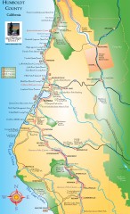
Humboldt County, California Map
Tourist map of Humboldt County, California. Shows parks, wildlife refuges, visitor centers, and...
93 miles away
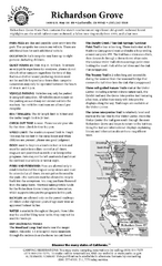
Richardson Grove State Park Campground Map
Map of campground region of park with detail of trails and recreation zones
96 miles away
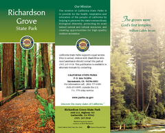
Richardson Grove State Park Map
Map of park with detail of trails and recreation zones
96 miles away
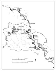
Humboldt Redwoods State Park Map
Park map of Humboldt Redwoods State Park, California. Shows Avenue of the Giants, trailheads and...
96 miles away

Redwood National Park Map
96 miles away
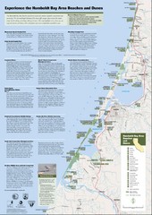
Humboldt Bay Area Beaches and Dunes Map
Humboldt Bay Beaches & Dunes Map & Guide
99 miles away
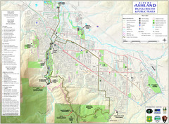
Ashland Trails Map
Trail map of Ashland, Oregon. Shows bicycle routes and public parks and trails.
100 miles away
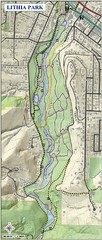
Lithia Park Trail Map
Trail map of Lithia Park in town of Ashland, Oregon. Adjacent to the Oregon Shakespeare Festival.
100 miles away
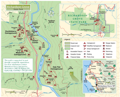
Richardson Grove State Park Map
Park map of Richardson Grove State Park, California. Shows trails, campgrounds, and other...
100 miles away
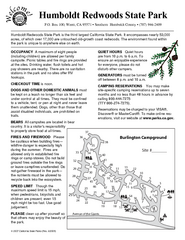
Humboldt Redwoods State Park Campground Map
Map of campground region park with detail of trails and recreation zones
100 miles away
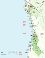
Redwood National Park Map
Official NPS map of Redwood National Park, California. Also shows Jedediah Smith Redwoods State...
101 miles away
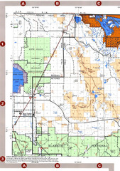
Modoc National Forest Map
Forest Visitor Map of the western most part of Modoc National Park. Includes county boundaries...
101 miles away

BTS Route Map
Map of BTS bus routes throughout Klamath Falls
101 miles away
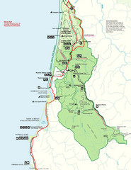
Prairie Crek State Park Map
102 miles away
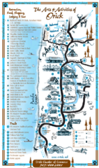
Orick Redwood National Park Map
103 miles away
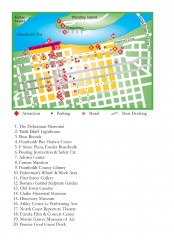
Old Town, Eureka, California Map
Tourist map of the Old Town area of Eureka, California. Shows various attractions including murals...
103 miles away
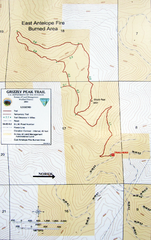
Grizzly Peak Trail Map
Topographic trail map of Grizzly Peak near Ashland, Oregon. Shows trails and distances. From...
104 miles away
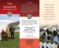
Fort Humboldt State Historic Park Map
Map of park with detail of trails and recreation zones
105 miles away
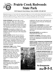
Prairie Creek Redwoods State Park Campground Map
Map of campground region of park with detail of trails and recreation zones
105 miles away
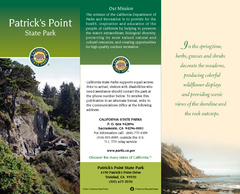
Patrick's Point State Park Map
Map of park with detail of trails and recreation zones
105 miles away
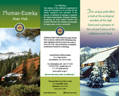
Plumas-Eureka State Park Map
Map of park with detail of trails and recreation zones
107 miles away
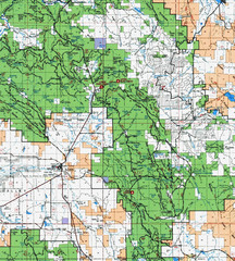
Clip10 Map
Visitor Maps of Modoc National Park, eastern part of the park includes all roads, camping areas...
107 miles away
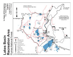
Lakes Basin Recreation Area Trail Map
Trail map of Lakes Basin Recreation Area in Plumas National Forest near Graeagle, California...
110 miles away

Bear Creek Greenway Map
Trail map of the Bear Creek Greenway connecting Central Point to Ashland, Oregon. Will eventually...
111 miles away
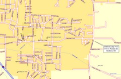
Medford, Oregon City Map
111 miles away
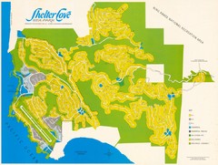
Shelter Cove Map
Shelter Cove Subdivision Map. Shows all streets, houses, commercial buildings, gas stations, and...
112 miles away
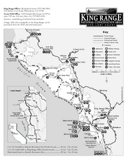
King Range National Conservation Area Trail Map
Trail map of the King Range National Conservation Area, home of the Lost Coast, California. Shows...
114 miles away
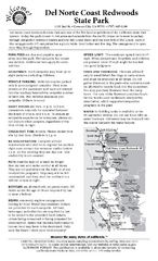
Del Norte Coast Redwoods State Park Campground Map
Map of park with detail of trails and recreation zones
117 miles away
South Yuba River State Park Map
Map of park with detail of trails and recreation zones
117 miles away

Pacific Crest Trail Map
Shows entire route of 2,650 mile Pacific Crest Trail from Mexico to Canada.
119 miles away
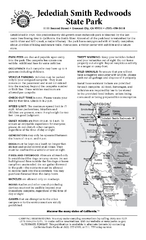
Jedediah Smith Redwoods State Park Campground Map
Map of campground region of park with detail of trails and recreation zones
120 miles away

