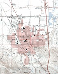
Baker City, Oregeon Tourist Map
353 miles away
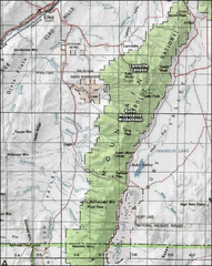
Ruby Mountains Wilderness Map
Overview map of Ruby Mountains Wilderness and Lamoille Canyon
354 miles away
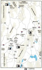
Camping in Elko County, Nevada Map
Map of camping opportunities in Elko County, Nevada, showing camp grounds, roads and towns.
355 miles away
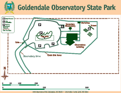
Goldendale State Park Map
Map of park with detail of trails and recreation zones
355 miles away
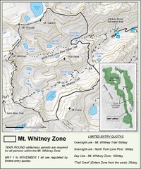
Mt. Whitney Zone Map
Zone map of Mt. Whitney area. Shows trail from Whitney Portal and Zone requiring Limited Use...
361 miles away
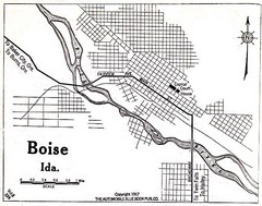
Boise Idaho 1917 Map
362 miles away
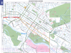
Boise, Idaho Downtown Map
Map of the downtown area of Boise, Idaho includes all streets, parks and the Boise State University.
363 miles away
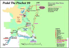
Pedal the Pinchot Bike Ride Route Map
Route Map for the Pedal the Pinchot 99 bike ride - annotated on a Park trail map.
363 miles away
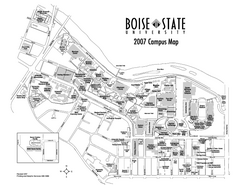
Boise State University Map
Boise State University Campus Map. All areas shown.
363 miles away
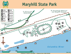
Maryhill State Park Map
Map of park with detail of trails and recreation zones
364 miles away
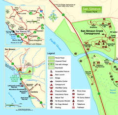
San Simeon State Park West Map
Map of west region of park with detail of trails and recreation zones
365 miles away
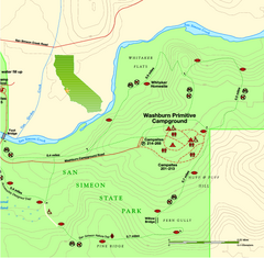
San Simeon State Park East Map
Map of east region of park with detail of trails and recreation zones
365 miles away

San Simeon State Park Map
Map of park with detail of trails and recreation zones
365 miles away
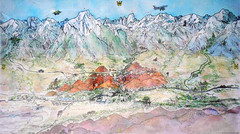
Lone Pine Map
Panorama tourist map of town of Lone Pine, California with surrounding area including the Alabama...
366 miles away
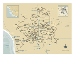
Paso Robles wine country map
Map of Paso Robles area vineyards and wineries.
366 miles away
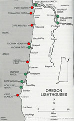
Lighthouses of the Oregon Coast Map
lighthouses (active, inactive, and destroyed) on the coast of Oregon (and the Columbia River)
368 miles away
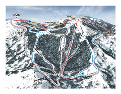
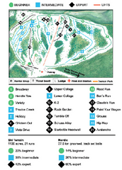
Bogus Basin Pine Creek Ski Trail Map
Trail map from Bogus Basin, which provides downhill, night, nordic, and terrain park skiing. It has...
373 miles away
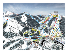
Bogus Basin Frontside Ski Trail Map
Trail map from Bogus Basin, which provides downhill, night, nordic, and terrain park skiing. It has...
373 miles away

Metropolis Nevada Ghost Town Map
373 miles away
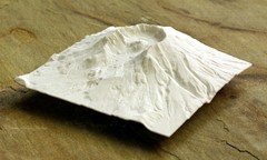
Mt. St. Helens 3D Print Map
This is a 3D-printed map of the cone, crater, and summit of Mt. St. Helens in Washington, USA. It...
373 miles away
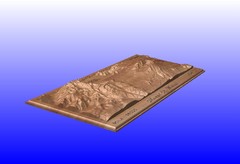
Mount St. Helens carved in wood by carvedmaps.com...
Mount St. Helens carved in wood by carvedmaps.com
374 miles away

Colonel Allensworth State Historic Park Map
Map of park with detail of trails and recreation zones
374 miles away
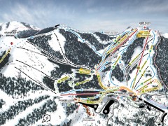
Bogus Basin Ski Trail Map - Front
Official ski trail map of frontside of Bogus Basin ski area from the 2007-2008 season.
374 miles away
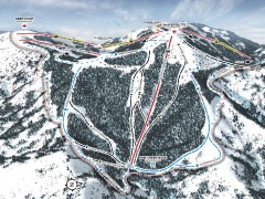
Bogus Basin Ski Trail Map - Pine Creek
Official ski trail map of Pine Creek area of Bogus Basinski area from the 2007-2008 season.
374 miles away
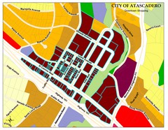
City of Atascadero Map
377 miles away
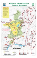
Mt. Saint Helens National Volcanic Monument...
Official recreation map showing all roads, trails, campgrounds, and other facilities. Also shows...
378 miles away
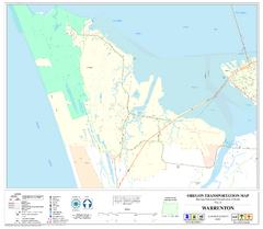
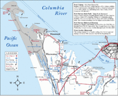
Warrenton Oregon Road Map
381 miles away
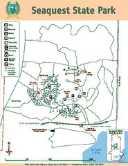
Seaquest State Park Map
Map of park with detail of trails and recreation zones
382 miles away
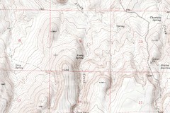
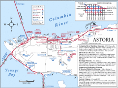
Astoria Oregon Map
A detailed topographic map of Astoria, Oregon and the Columbia River.
382 miles away
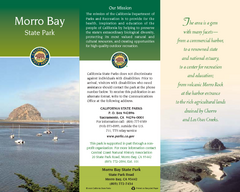
Morro Bay State Park Map
Map of park with detail of trails and recreation zones
385 miles away
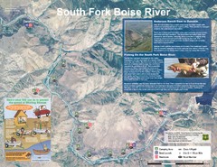
South Fork Boise River Map
Map of the South Fork of the Boise River from Anderson Ranch Dam to Neal Bridge. Premier wild...
385 miles away
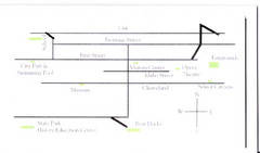
Glenns Ferry City Map
City map of Glenns Ferry, Idaho with information
385 miles away
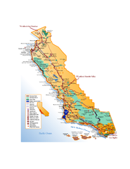
California Central Coast Map
Large tourist map of California's Central Coast. From Monterey to Santa Barbara. Shows all...
387 miles away
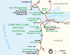
Lewis & Clark National Historic Trail...
Official NPS map of Lewis & Clark National Historic Trail in Oregon-Washington. Shows all areas...
388 miles away
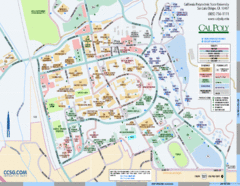
Cal Poly Campus Map
Cal Poly University at San Luis Obispo Campus Map. Includes all buildings, streets, sports fields...
389 miles away
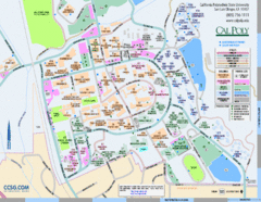
Cal Poly Campus Map
Campus map of California Polytechnic State University in San Luis Obispo, CA
389 miles away
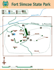
Fort Simcoe State Park Map
Map of park with detail of trails and recreation zones
389 miles away

