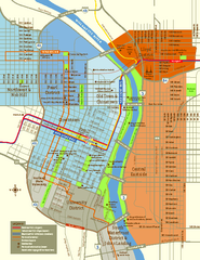
Central Portland, Oregon Map
Tourist map of Portland, Oregon. Shows museums, sports arenas, parks, and public transportation.
328 miles away
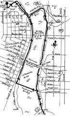
Portland Oregon downtown walk Map
Walk from the Amtrak Station to the Oregon Museum of Science and Industry. 4 miles round trip...
328 miles away
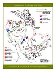
Portland Japanese Garden Map
So Far My favorite Japanese Garden
328 miles away
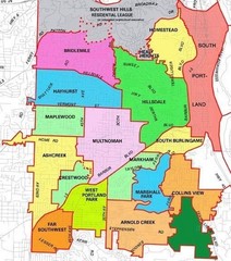
Portland, Oregon Neighborhood Map
328 miles away
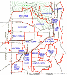
Portland, Oregon Neighborhood Map
328 miles away
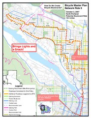
Portland, Oregon Bike Map
328 miles away
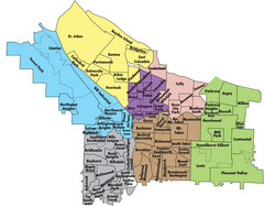
Portland, Oregon Neighborhood Map
328 miles away
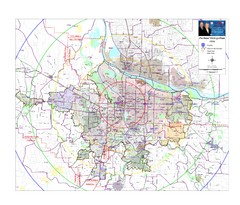
Portland, Oregon Tourist Map
328 miles away
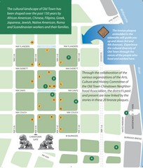
Old Town-China Town Map
Portland's oldest neighborhoods and history are easily seen in Old Town-China Town.
328 miles away
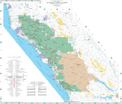
Los Padres National Forest Map - North
Overview map of the northern section of Los Padres National Forest in the Monterey Ranger District...
328 miles away
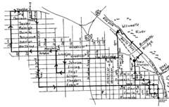
Pearl District Walking Map, Portland Oregon Map
Walk through the Pearl District, along the Willamette River and up to 23rd Street. Detour to the...
328 miles away
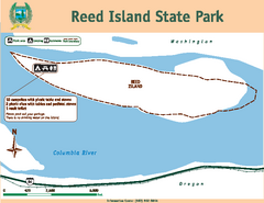
Reed Island State Park Map
Map of park with detail of trails and recreation zones
329 miles away

Maywood Park Oregon Road Map
329 miles away
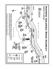
Historic Columbia River Highway Map
Official map from the US Forest Service. Shows the Corbett to Dodson stretch of Highway 30 with...
330 miles away
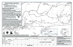
Forest Park Mountain Biking Map
Forest Park now includes over 5,100 wooded acres making it the largest, forested natural area...
331 miles away
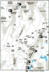
Cross-country Skiing, Elko County, Nevada Map
Map of cross-country skiing opportunities in Elko County, Nevada. Shows skiing locations, roads...
331 miles away
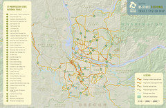
Bi-State Regional Trail System Plan Map
Shows plan for developing 37 Bi-State Regional Trails
331 miles away
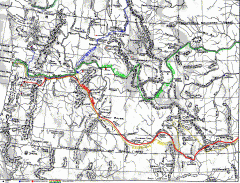
Oregon Trail Map
Old sketch map with modern cities, forts/ trading posts, and missions/churches superimposed. Shows...
332 miles away
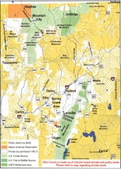
Land Use Map of Elko County, Nevada
Land use map of Elko County, Nevada. Shows lands classified as public or private, and owners of...
332 miles away

Limeklin State Park Map
Map of park with detail of trails and recreation zones
333 miles away
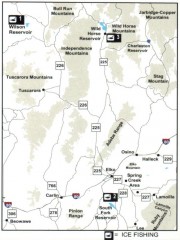
Icefishing Map, Elko County, Nevada
Map of ice fishing locations in Elko County, NV. Shows reservoirs, roads and towns.
334 miles away
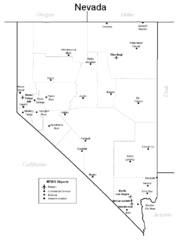
Nevada Airports Map
336 miles away
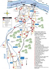
Hood River County Fruit Loop map
35-mile scenic drive through the valley's orchards, forests, farmlands, and friendly...
338 miles away
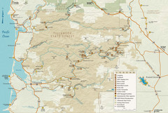
Tillamook State Forest Map
Recreation map of Tillamook State Forest. Over 60 miles of non-motorized trails and 150 miles of...
338 miles away
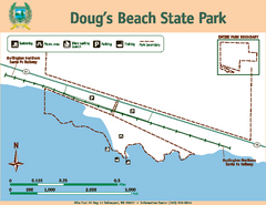
Dougs Beach State Park Map
Map of park with detail of trails and recreation zones
340 miles away

California Agricultural Region Map
340 miles away
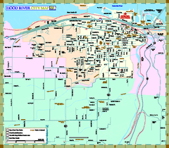
Hood River Map
Tourist map of city of Hood River, Oregon.
340 miles away
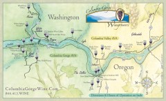
Columbia Gorge Wine Map
Wineries of the Columbia River Gorge area, Oregon.
341 miles away
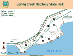
Spring Creek Hatchery State Park map
Map of park with detail of trails and recreation zones
342 miles away
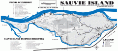
Sauvie Island tourist map
Tourist map of Sauvie Island in Oregon. Shows all businesses and points of interest.
342 miles away
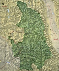
King Canyon and Seqouia Nationa Parks Map
344 miles away
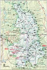
Sequoia National Park map and Kings Canyon...
Official park map of Sequoia National Park and Kings Canyon National Park.
344 miles away
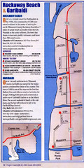
Rockaway Beach Map
344 miles away
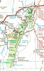
Ruby Mountains Area Map
Included are the communities of Elko, Wells, Deeth, Jiggs, Lee, Lamoille and Spring Creek. Some...
345 miles away
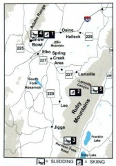
Skiing and Sledding in Elko County, Nevada Map
Map of skiing and sledding opportunities in Elko County, Nevada, showing skiing and sledding...
345 miles away
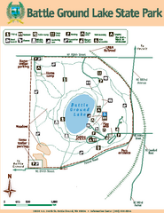
Battle Ground Lake State Park Map
Map of park with detail of trails and recreation zones
346 miles away
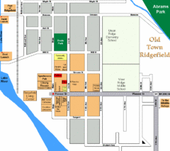
Guide Map of Old Town Ridgefield
Guide Map of Old Town Ridgefield, Washington
347 miles away

BANKS-VERNONIA STATE TRAIL Map
350 miles away
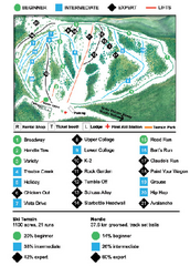
Anthony Lakes Mountain Resort Ski Trail Map
Trail map from Anthony Lakes Mountain Resort.
351 miles away


