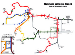
Mammoth Transit Map
Map of Mammoth transit system
278 miles away
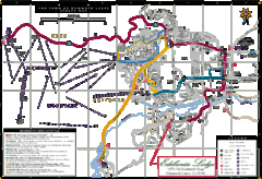
Mammoth Town Map
Map of Mammoth, including shuttle lines
279 miles away
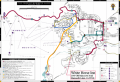
Mammoth Town Map
Town of Mammoth Lakes with shuttle lines included
279 miles away
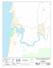
Newport Oregon Road Map
282 miles away

Fremont Peak State Park Map
Map of park with detail of trails and recreation zones
282 miles away
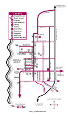
Nye Beach Tourist Map
282 miles away

California Counties Map
283 miles away
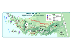
Yaquina Head Outstanding National Area Map
285 miles away

Independence Oregon Road Map
285 miles away
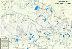
Fish Creek Area Anglers' Map
Hand-drawn fishing map of lakes, peaks, and trails in the Fish Creek Area of the John Muir...
287 miles away
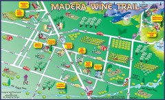
Madera wine map
Tourist map of Madera, California showing Madera Vinters and area wineries.
288 miles away
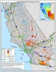
Concentrating Solar Power Prospects California Map
Shows power plants, concentrating solar resources, and transmission lines for all of California...
289 miles away
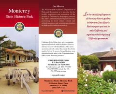
Monterey State Historic Park Map
Map of park with detail of trails and recreation zones
291 miles away
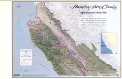
Monterey Wine Country: Appellation Overview Map
The Monterey region is world-famous for unparalleled scenic beauty, golf, and cuisine. Millions of...
291 miles away
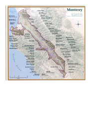
Monterey Wine Country: Appellation Overview Map
The Monterey region is world-famous for unparalleled scenic beauty, golf, and cuisine. Millions of...
291 miles away
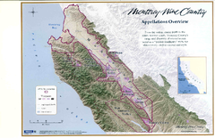
Monterey Wine Country: Appellation Overview Map
The Monterey region is world-famous for unparalleled scenic beauty, golf, and cuisine. Millions of...
291 miles away
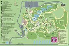
Oregon Garden Map
Map and key marking trails and more in this amazing garden.
291 miles away
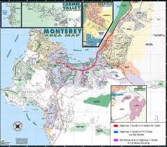
Monterey Area Map
Shows Monterey / Carmel area. Has legend on it with route highlighted to Naval housing.
291 miles away

Toro County Park Map
Trails of Toro County Park, Salinas Ca.
291 miles away
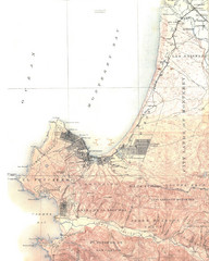
Monterey Map
292 miles away

Laguna Seca Raceway Map
Overview map of the Laguna Seca Raceway. Shows track, parking, and facilities.
293 miles away
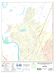
Keizer Oregon Road Map
293 miles away
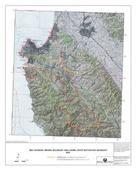
Monterey Peninsula and Carmel River Watershed...
This map contains a digital raster graphic topographic base map of the Monterey Peninsula Water...
294 miles away
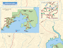
Millerton Lake State Recreation Area NW Map
Map of NW region of park with detail of trails and recreation zones
295 miles away

Millerton Lake State Recreation Area NE Map
Map of NE region of park with detail of trails and recreation zones
295 miles away
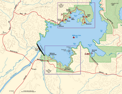
Millerton Lake State Recreation Area SW Map
Map of SW region of park with detail of trails and recreation zones
295 miles away
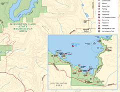
Millerton Lake State Recreation Area SE Map
Map of SE region of park with detail of trails and recreation zones
295 miles away
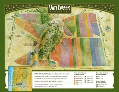
Van Duzer Vineyard Map
"A colorful vineyard map that shows the location of Van Duzer’s numerous grape varietals...
295 miles away
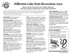
Millerton Lake State Recreation Area Campground...
Map of campground region of park with detail of trails and recreation zones
295 miles away

Millerton Lake State Recreation Area Park Map
Map of park with detail of trails and recreation zones
295 miles away
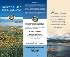
Millerton Lake State Recreation Area Map
Map of park with detail of trails and recreation zones
295 miles away
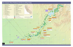
San Joaquin River Parkway Map
Map of the San Joaquin River Parkway. "The San Joaquin River Parkway is a mosaic of parks...
297 miles away
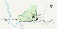
Clarno Unit John Day Fossils Beds National...
299 miles away
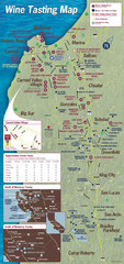
Monterey area wineries map
Map of wineries with public tasting rooms in the Monterey area
300 miles away
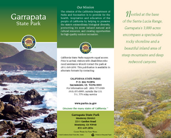
Garrapata State Park Map
Map of park with detail of trails and recreation zones
300 miles away

Montery Bay Sea Floor Map
301 miles away
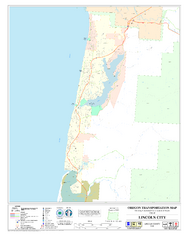
Lincoln City Oregon Road Map
302 miles away

Sierra High Route Map
Guide to the Sierra High Route, one of the most challenging treks in the Sierras
303 miles away
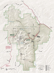
Pinnacles National Monument Map
303 miles away
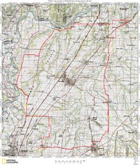
Spring Century Bike Route Map
Oregon Spring Century Ride
304 miles away

