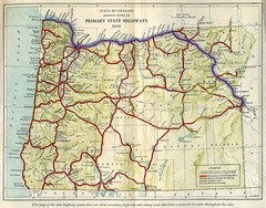
John Muir Trail Elevation Map
Profile, Elevation, Landmarks and Mileage for the John Muir Trail entertainment not accurate enough...
256 miles away
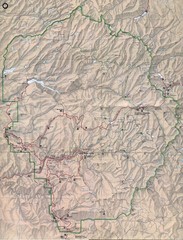
Yosemite National Park Map
Yosemite National Park Map. Shows location of all hiking trails, camp grounds, visitor center and...
256 miles away
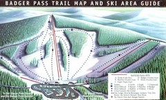
Badger Pass Ski Trail Map
Official ski trail map of Badger Pass ski area
256 miles away
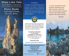
Mono Lake Tufa State Natural Reserve Map
Map of reserve with detail of trails and recreation zones
258 miles away
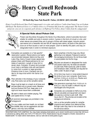
Henry Cowell Redwoods State Park Campground Map
Map of campground region of park with detail of trails and recreation zones
258 miles away
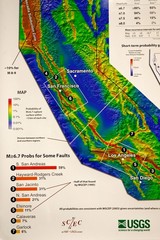
California Faults and Earthquake Probablity...
The Uniform California Earthquake Rupture Forecast map hangs at a press conference where...
259 miles away

Mi-Wok OHV Trail Map
Trail Maps for Off Road Bikes in Stanislaus National Forest
259 miles away
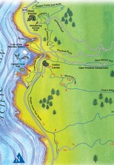
Cape Perpetua Map
260 miles away

Relative Motion of Pacific and North American...
Diagram illustrating the plate-tectonic setting of southern California (image source: USGS general...
260 miles away
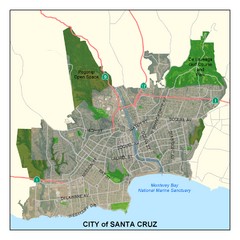
Santa Cruz City Limits Map
Map shows the city limits boundries of Santa Cruz, California
264 miles away
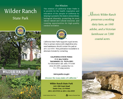
Wilder Ranch State Park Map
Map of park with detail of trails and recreation zones
264 miles away

Santa Cruz, California City Map
265 miles away
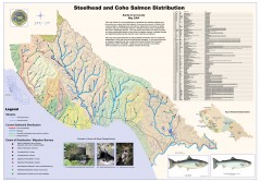
Steelhead and Coho Salmon Distribution Map...
Shows the current distribution of steelhead and resident rainbow trout and coho salmon in Santa...
265 miles away
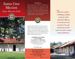
Santa Cruz Mission State Historic Park Map
Map of park and mission
265 miles away
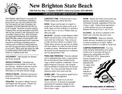
New Brighton State Beach Campground Map
Map of campground region of beach/park with detail of trails and recreation zones
265 miles away
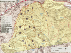
Pacheco State Park Trail Map
Map of park with details of different trails
265 miles away
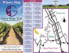
Gilroy Wine Tasting Map
265 miles away
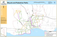
Santa Cruz, CA Bike Map
265 miles away
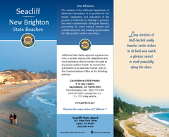
Seacliff & New Brighton State Beaches Map
Map of beaches and parks with detail of trails and recreation zones
265 miles away

San Luis Reservoir State Recreation Area Map
Map of park and reservoir with detail of trails and recreation zones
265 miles away
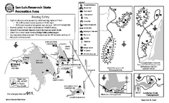
San Luis Reservoir State Recreation Area...
Map of campground region of park and reservoir with detail of trails and recreation zones
265 miles away
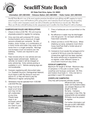
Seacliff State Beach Campground Map
Map of campground region of beach and park with detail of trails and recreation zones
265 miles away
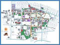
Oregon State University Campus Map
Campus map of Oregon State University in Corvallis, Oregon
266 miles away
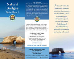
Natural Bridges State Beach Map
Map of beach and park with detail of trails and recreation zones
266 miles away

Pacheco State Park Map
Map of park with detail of trails and recreation zones
267 miles away
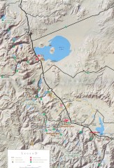
Eastern Sierra Trailhead Map - Lee Vining and...
Shows ranger stations and major trailheads in the eastern Sierra Nevada in the Mono Lake and...
267 miles away
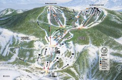
June Mountain Ski Trail Map
Official ski trail map of June Mountain ski area from the 2007-2008 season.
269 miles away
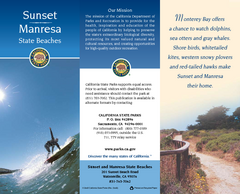
Sunset & Manresa State Beaches Map
Map of beaches and parks with detail of trails and recreation zones
270 miles away
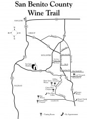
San Benito County Wine Trail Map
Wineries in the San Benito County, California area.
270 miles away
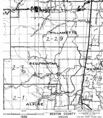
Transportaion for Benton County 1936 Map
1936 Map of Benton County, Oregon known as Muddy Area with counties, roads and towns marked
272 miles away
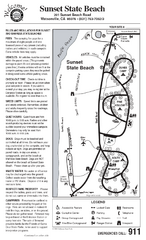
Sunset State Beach Campground Map
Map of park with detail of trails and recreation zones
272 miles away
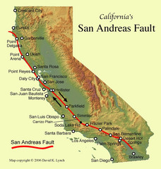
San Andreas Fault, California Map
275 miles away
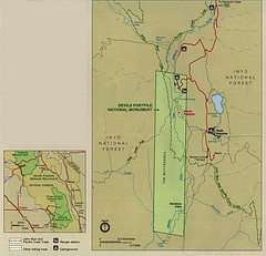
Devil's Postpile National Monument Map
276 miles away
San Juan Bautista State Historic Park Map
Map of park with detail of trails and recreation zones
276 miles away

Mammoth Mountain Ski Trail Map
Trail map from Mammoth Mountain, which provides downhill, nordic, and terrain park skiing. It has...
277 miles away
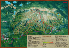
Mammoth Mountain Bike Park Map
Shows all trails at the Mammoth Mountain Bike Park.
277 miles away
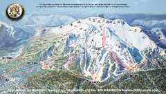
Mammoth Mountain Ski Trail map 2005
Official ski trail map of Mammoth Mountain ski area from the 2005-2006 season.
277 miles away

Mammoth Mountain Downhill Skiing Trails Map
Downhill skiing trails on Mammoth Mountain, near Mammoth Lakes, California. Shows trails and their...
278 miles away

