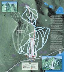
Willamette Pass Ski Trail Map
Trail map from Willamette Pass.
225 miles away
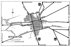
Stockton, California City Map
225 miles away
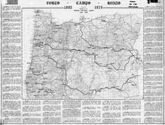
Oregon Military Map
Detailed guide to military forts, camps and roads on teh western Oregon coast
225 miles away
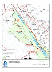
Fifield-Cahill Ridge Trail Map
Trail map of the Fifield-Cahill Ridge Trail in the San Francisco Peninsula Watershed.
226 miles away
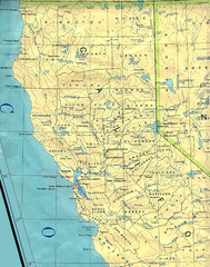
Northern California Map
Map of Northern California including cities, counties, and rivers
226 miles away
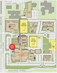
Memorial Medical Center Map
226 miles away
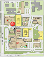
Memorial Medical Center Map
226 miles away
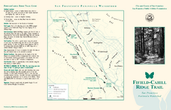
Fifield-Cahill Ridge Trail Map
Trail map and brochure of the Fifield-Cahill Ridge Trail in the San Francisco Peninsula Watershed.
226 miles away
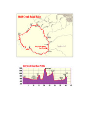
Wolf Creek Road Race Route and Route Elevation Map
Route map and elevation of Wolf Creek bike Race
227 miles away

San Mateo County Mid-County Trail Map
Trail map of mid-county trails in San Mateo County, California.
227 miles away
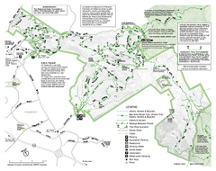
Mission Peak Preserve Map
Park map of Mission Peak Regional Preserve in Fremont, California. Topo map shows trails and trail...
228 miles away
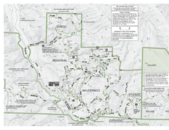
Sunol Regional Wilderness Trail Map - West
Trail map of western portion of Sunol Regional Wilderness in Sunol, California.
228 miles away
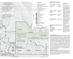
Sunol Regional Wilderness Trail Map - East
Trail map of eastern portion of Sunol Regional Wilderness in Sunol, California.
228 miles away
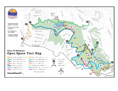
Water Dog Lake Park Trail Map
Trail map of Water Dog Lake Park. Open to mountain biking.
228 miles away

Steens Mountain Topo Map
Topography map of the east side of Steens mountain in Oregon.
229 miles away
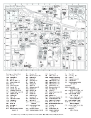
University of Oregon campus map
University of Oregon campus map with building abbreviations
229 miles away
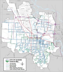
Eugene, Oregon City Map
229 miles away
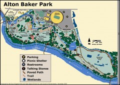
Alton Baker Park Map
Shows parking, picnic shelters, restrooms, talking stones, paved path, trail, and wetlands. Alton...
229 miles away

Eugene Parks map
City of Eugene Parks Map. Includes streets and trails.
230 miles away
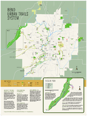
Bend urban trails system Map
The Bend Urban Trail System currently includes approximately 48 developed miles of trails which...
230 miles away
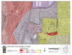
Bend, Oregon Zoning Map
Map of the zoning area changes in Bend, Oregon. Includes color-coded zoning areas.
230 miles away
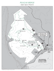
Pulgas Ridge Open Space Preserve Map
Trail map of Pulgas Ridge Open Space Preserve. 366 acres and 6 miles of trails
230 miles away
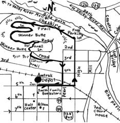
Eugene Oregon Walk, Skinner Butte and River Path...
Walk on the Willamette River Bike path, up Skinner Butte on a forest path and through a historic...
230 miles away
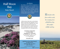
Half Moon Bay State Beach Map
Map of beach with detail of trails and recreation zones
230 miles away
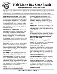
Half Moon Bay State Beach Campground Map
Map of beach with detail of trails and recreation zones
230 miles away
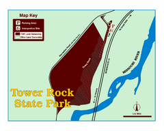
Tower Rock State Park Map
Tower Rock State Park is one of Montana's newest state parks. The 400-foot high igneous rock...
230 miles away
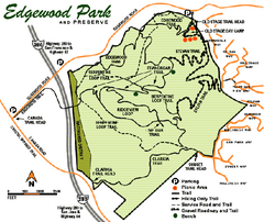
Edgewood County Park Trail Map
Trail map of Edgewood Park and Preserve in Redwood City, California.
231 miles away
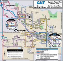
Ceres, CA Transportation Map
231 miles away

Palo Alto Baylands Nature Preserve Map
Map of the Palo Alto Baylands Nature Preserve in Palo Alto, CA. Shows trails, including part of...
232 miles away
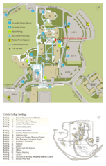
Cañada College Campus Map
Campus map of Cañada College, Redwood City, CA. Shows buildings.
232 miles away
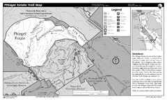
Phleger Estate Trail Map
Trail map of Phleger Estate, part of the Golden Gate National Recreation Area, in Woodside...
232 miles away
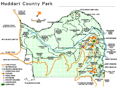
Huddart County Park Map
Trail map of Huddart County Park near Woodside, California.
233 miles away
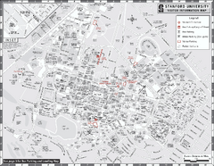
Stanford University Map
Stanford University Campus Map. All buildings shown.
233 miles away
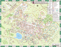
Stanford University Map
A map of the Stanford University campus.
233 miles away
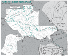
Purisima Open Space Preserve Map
Trail map of Purisima Open Space Preserve. Shows all mountain biking, hiking, and horseback riding...
233 miles away
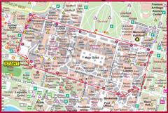
Cardinal Walk Map
Map of Stanford University campus with Cardinal Walk detail
233 miles away
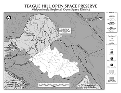
Teague Hill Open Space Preserve Map
Trail map of Teague Hill Open Space Preserve near Woodside, California. Only one trail enters a...
234 miles away
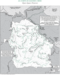
El Corte de Madera Open Space Preserve Map
Trail map of El Corte de Madera Open Space Preserve. Shows all mountain biking, hiking, and...
235 miles away
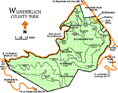
Wunderlich County Park Map
Trail map of Wunderlich County Park near Woodside, California. "The Alambique Trail offers a...
235 miles away

Turlock Lake State Recreation Area Campground Map
Map of campground region of recreation area with detail of trails and recreation zones
236 miles away

