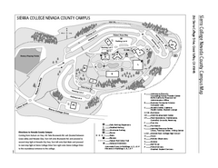
Sierra College Campus Map
Sierra College Campus Map. All buildings shown.
155 miles away
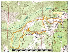
Sky Tavern XC Route Map
Topo map of the XC course for the cycling event.
155 miles away
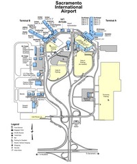
Sacramento International Airport Map
156 miles away
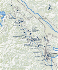
Dry Creek Valley Wineries, California Map
Map of wineries in Dry Creek Valley, California. Shows wineries and roads.
156 miles away

Granite Chief Wilderness Map
Trail map of Granite Chief Wilderness in Lake Tahoe region. Shows trails (inlcuding Pacific Crest...
157 miles away
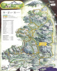
Diamond Lake Tourist Map
157 miles away
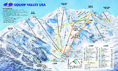
Squaw Valley USA Trail Map
Trail map of Squaw Valley ski area in Lake Tahoe, California
157 miles away

Burning Map 2005 Map
Artistic representation of Burning Man's Black Rock City.
158 miles away
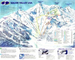
Squaw Valley Ski Trail Map
Scan of ski trail map of Squaw Valley ski area from the 2000-2001 season.
158 miles away
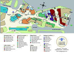
Squaw Valley Base Village Map
Village map of base of Squaw Valley Ski Resort, Lake Tahoe, California. Shows all restaurants...
158 miles away
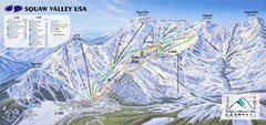
Squaw Valley USA Ski Trail Map
Trail map from Squaw Valley USA, which provides downhill, night, nordic, and terrain park skiing...
158 miles away

Lake Berryessa Map
Lake Berryessa Recreational Map, Napa County, California
158 miles away

Lake Berryessa Recreation Map
Lake Berryessa Recreational Map, Napa County, California
158 miles away

Reno Tahoe Tourist Map
159 miles away

Reno, Nevada City Map
159 miles away
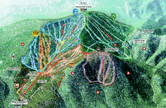
Northstar Ski Trail Map
Official ski trail map of Northstar-at-Tahoe ski area from the 2007-2008 season.
159 miles away
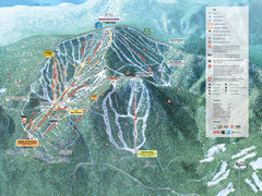
Northstar-at-Tahoe Ski Trail Map
Official trail map of Northstar-at-Tahoe ski area from the 2009-2010 season
159 miles away

Rockville Hills Regional Park Map
Trail Map, Two small lakes, picnic areas
159 miles away
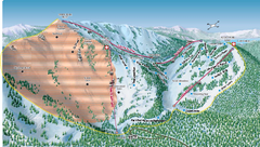
Alpine Meadows Ski Area Backside Ski Trail Map
Trail map from Alpine Meadows Ski Area, which provides downhill and terrain park skiing. It has 13...
159 miles away

Downtown Reno, Nevada Map
Tourist map of Reno, Nevada. Event and convention centers, visitor's center, parks, and other...
160 miles away
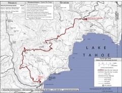
Tahoe Rim Trail: Tahoe City to Brockway Summit Map
Topographic hiking map of the Tahoe City-Brockway Summit leg of the Tahoe Rim Trail. Shows trail...
160 miles away
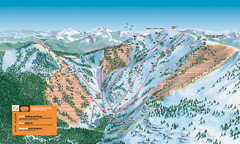
Alpine Meadows Ski Trail Map (Front)
Official ski trail map of Alpine Meadows ski area from the 2005-2006 season.
160 miles away

Greater Lake Berryessa Region Tourist Map
Tourist map of the Lake Berryessa region in Napa, California
161 miles away
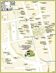
Downtown Healdsburg, California Map
Tourist maps of downtown Healdsburg, California. First map shows restaurants, galleries, wine...
161 miles away
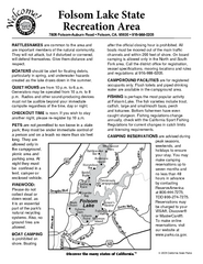
Folsom Lake State Recreation Area Campground Map
Map of park with detail of trails and recreation zones
161 miles away
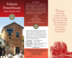
Folsom Powerhouse State Historic Park Map
Map of park with detail of trails and recreation zones
162 miles away
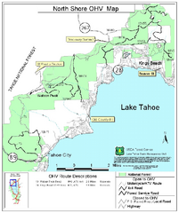
North Shore Lake Tahoe Off-Highway Vehicle Map
Off-highway vehicle map of the area around the North shore of Lake Tahoe. Roads open to motorcycles...
162 miles away
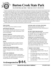
Burton Creek State Park Map
Map of park with detail of trails and recreation zones
162 miles away
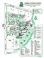
American River College Campus Map
American River College Campus Map. Shows all buildings.
162 miles away
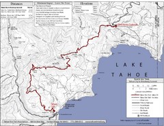
Tahoe Rim Trail Map
162 miles away
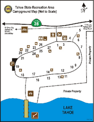
Tahoe State Recreation Area Campground Map
Map of park with detail of trails and recreation zones
163 miles away
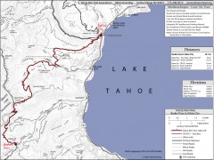
Tahoe Rim Trail: Barker Pass to Tahoe City Map
Topographic hiking map of the Barker Pass-Tahoe City leg of the Tahoe Rim Trail. Shows trailheads...
163 miles away
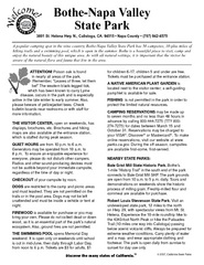
Bothe-Napa Valley State Park Map
Map of park with detail of of trails and recreation zones
163 miles away
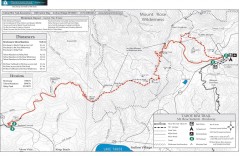
Tahoe Rim Trail: Brockway Summit to Tahoe Meadows...
Trail map of the Brockway Summit-Tahoe Meadows leg of the Tahoe Rim Trail. Bike trails, hiking...
164 miles away
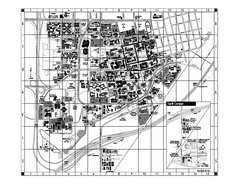
University of California at Davis Map
Campus Map of the University of California at Davis. All buildings shown.
164 miles away
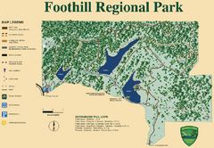
Foothill Regional Park Map
Park map of Foothill Regional Park in Sonoma County, California. Shows trails and 3 lakes.
164 miles away
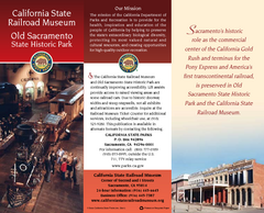
Old Sacramento State Historic Park Map
Map of park and museum with detail of trails and recreation zones
164 miles away
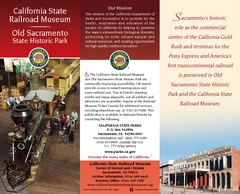
California Railroad Museum Map
Map of historic museum
164 miles away
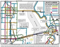
Davis, California BIke Map
165 miles away
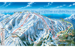
Mt. Rose Ski Tahoe Ski Trail Map
Trail map from Mt. Rose Ski Tahoe.
165 miles away

