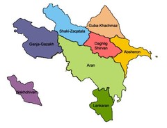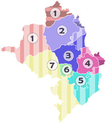
Administrative Units of the Nagorno-Karabakh...
Administrative Units of the Nagorno-Karabakh Republic (Artsakh)
107 miles away
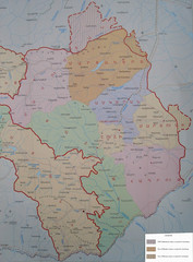
Map of the Nagorno-Karabakh Republic (Artsakh)
Administrative Map of the Nagorno-Karabakh Republic (Republic of Artsakh)
107 miles away
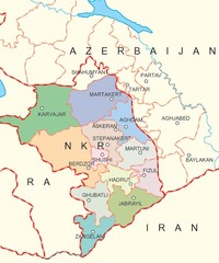
Map of Nagorno-Karabakh (Artsakh)
Map of the Nagorno-Karabakh Republic (Republic of Artsakh)
107 miles away
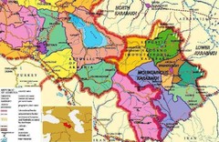
Karabakh Map
Map of the Nagorno-Karabakh Republic (Republic of Artsakh)
107 miles away
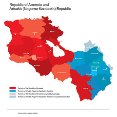
Map of Armenia and Nagorny Karabakh
Map of Armenian states - Republic of Armenia and the Nagorno-Karabakh Republic
107 miles away
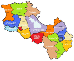
Map of Armenia and Nagorny Karabakh
Map of Armenian states - Republic of Armenia and the Nagorno-Karabakh Republic
107 miles away
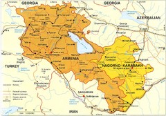
Map of Armenian states - Republic of Armenia and...
Map of Armenia and Nagorny Karabakh
107 miles away

Az Map
Armenian Historical Monuments of the Upper and Lower Karabakh
107 miles away

Ethno-Linguistic Groups in the Caucasus Map
Map of Ethno-Linguistic Groups in the Caucasus Region
107 miles away
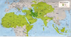
Muslim Distribution Map
Map of Muslim distribution throughout Africa and Asia
110 miles away
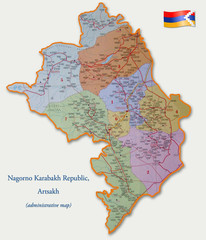
Map of the Nagorno-Karabakh Republic (Artsakh)
Administrative Map of the Nagorno-Karabakh Republic (Republic of Artsakh)
110 miles away
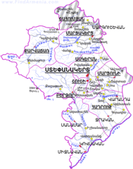
Map of the NKR
Map of the Nagorno-Karabakh Republic (Republic of Artsakh)
111 miles away
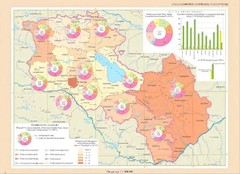
Educational Attainment in Armenia and Nagorny...
Map of Educational Attainment in the Armenian states - Republic of Armenia and the Nagorno-Karabakh...
114 miles away
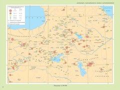
Armenian Highland Major Earthquakes Map
Map of the Major Earthquakes on the Armenian Highland
116 miles away
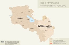
Map of Armenia and Nagorny Karabakh
116 miles away
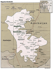
Nagorno-Karabakh Map
Major towns and borders are clearly marked on this map.
119 miles away
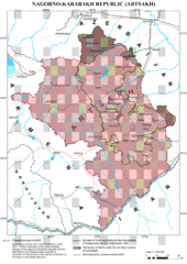
Karabakh Map
Up-to-date Map of the Nagorno-Karabakh Republic (Republic of Arstakh)
122 miles away
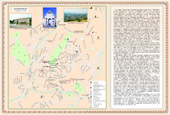
Stepanakert City Map
Map of Stepanakert, Nagorno-Karabakh Republic (Artsakh)
122 miles away
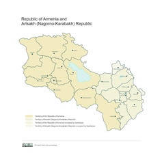
Map of Armenian states - the Republic of Armenia...
Map of Armenian states - the Republic of Armenia and the Nagorno-Karabakh Republic
123 miles away
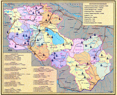
Monuments of Armenia and Nagorny Karabakh Map
Monuments of modern Armenian states - the Republic of Armenia (Ararat Republic) and the Nagorno...
123 miles away
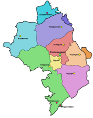
Administrative Map of Nagorny Karabakh (Artsakh)
Administrative Division of the Nagorno-Karabakh Republic (Artsakh)
123 miles away
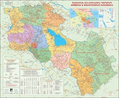
Karabakh & Armenia Map
Map of Armenian states - the Republic of Armenia and the Nagorno-Karabakh Republic
124 miles away
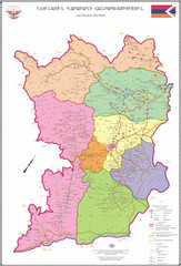
Map of the Nagorno-Karabakh Republic (Artsakh)
Administrative Map of the Nagorno-Karabakh Republic (Republic of Artsakh)
130 miles away
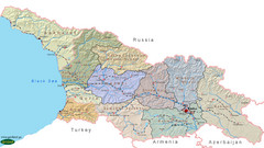
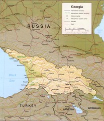
Georgia Country Map
Administrative map of country of Georgia
130 miles away
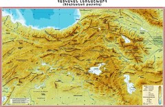
Armenian Highland Map
Map of the Armenian Haghland
133 miles away
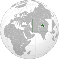
Nagorny Karabakh on the Globe Map
138 miles away

Harmanli Tourist Map
Central Harmanli in Bulgaria
142 miles away
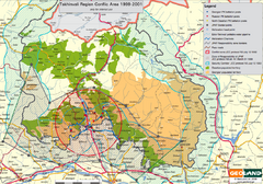
Tskhinvali Conflict Area Map
This map marks Georgian and Russian battalion points and populations during the 1999-2001 conflicts.
143 miles away
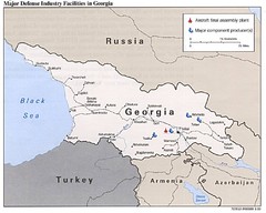
Georgia Defense Facilities Map
Map of major defense industry facilities throughout Georgia
147 miles away
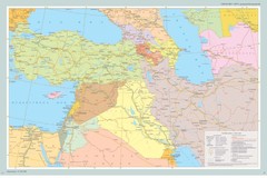
Map of Near East And South Caucasus
Map of Near East and South-Caucassian countries
156 miles away
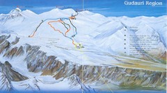
Gudauri Ski Trail Map
Trail map from Gudauri, which provides downhill skiing. It has 5 lifts. This ski area has its own...
157 miles away
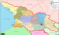
Georgia Administrative Map
Administrative map of the country of Georgia.
158 miles away
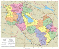
Map of Armenia and Nagorny Karabakh
Map of Armenian states - the Republic of Armenia and the Nagorno-Karabakh Republic
159 miles away
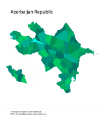
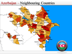
Azerbaijan Vector Map
Vector Map of Azerbaijan
162 miles away
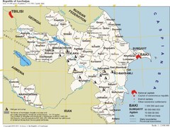
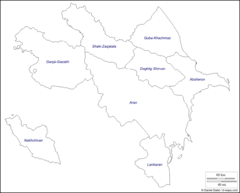
map of Azerbaijan
Administrative map of Azerbaijani Republic
162 miles away

